Glasgow in Cambria County, Pennsylvania — The American Northeast (Mid-Atlantic)
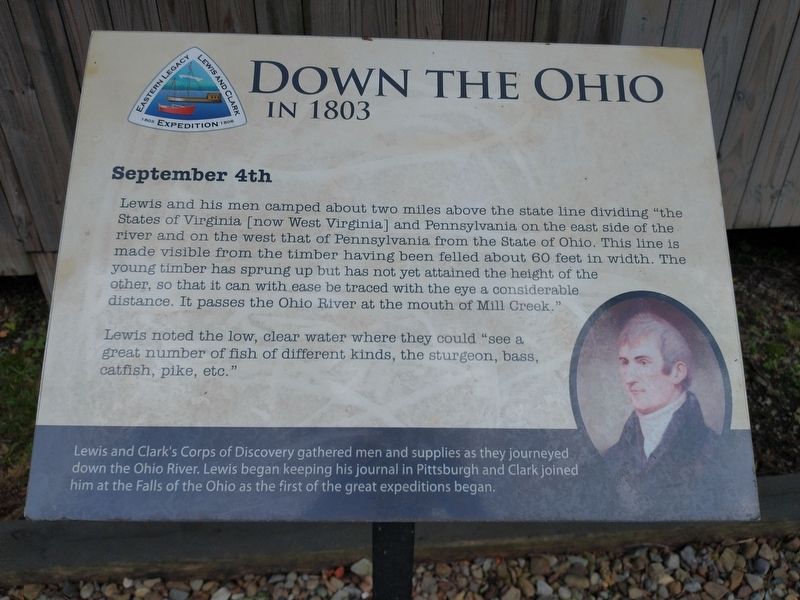
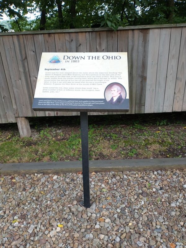
Down The Ohio
In 1803
— September 4th —
Lewis noted the low, clear water where they could "see a great number of fish of different kinds, the sturgeon, bass, catfish, pike, etc."
Lewis and Clark's Corps of Discovery gathered men and supplies as they journeyed down the Ohio River. Lewis began keeping his journal in Pittsburgh and Clark joined him at the Falls of the Ohio as the first of the great expeditions began.
Topics and series. This historical marker is listed in this topic list: Exploration. In addition, it is included in the Lewis & Clark Expedition series list.
Location. 40° 38.55′ N, 80° 31.135′ W. Marker is in Glasgow, Pennsylvania, in Cambria County. Marker is on Harvey Avenue, on the left when traveling west. Touch for map. Marker is in this post office area: Midland PA 15059, United States of America. Touch for directions.
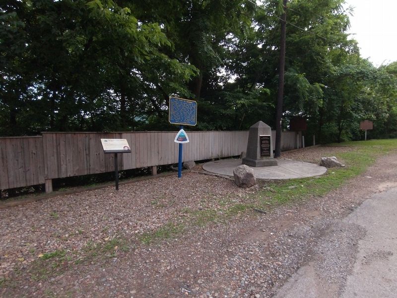
Other nearby markers. At least 8 other markers are within one mile of this marker, measured as the crow flies. The Point of Beginning (here, next to this marker); Gateway To The Northwest (a few steps from this marker in Ohio); Land Ordinance of 1785 / The Seven Ranges (a few steps from this marker in Ohio); Beginning Point of the U. S. Public Land Survey (a few steps from this marker in Ohio); The Sandy and Beaver Canal (approx. 0.4 miles away); Smiths Ferry (approx. 0.9 miles away); The Penna - Virginia Boundary (approx. 0.9 miles away); Georgetown (approx. one mile away).
Credits. This page was last revised on May 17, 2023. It was originally submitted on July 11, 2021, by Craig Doda of Napoleon, Ohio. This page has been viewed 200 times since then and 23 times this year. Last updated on May 16, 2023, by Bradley Owen of Morgantown, West Virginia. Photos: 1, 2, 3. submitted on July 11, 2021, by Craig Doda of Napoleon, Ohio. • J. Makali Bruton was the editor who published this page.


