Joaquin in Provo in Utah County, Utah — The American Mountains (Southwest)
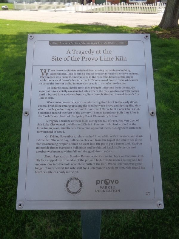
A Tragedy at the Site of the Provo Lime Kiln
One in a Series of Events from Provo's History
In order to manufacture lime, men brought limestone from the nearby mountains to specially constructed kilns where the rock was heated with flames until it burned into a white substance, lime. Joseph Mecham burned Provo’s first lime in 1851.
When entrepreneurs began manufacturing fired brick in the early 1860s, several brick kilns sprang up along the road between Provo and Springville. Manufacturers began burning more lime for mortar. J. Reese build a new kiln in 1866. Sometime around the turn of the century, Thomas Boardman build lime kilns in the foothills northeast of the Spring Creek Elementary School.
A tragedy occurred at these kilns during the fall of 1930. Roy Van Cott of Salt Lake City owned the kilns and Chris L. Peterson, who had worked at the kilns for 26 years, and Richard Fulkerson operated them, fueling them with coke now instead of wood.
On Friday, November 13, the men had lined a kiln with limestone and started the fire. The next day, Fulkerson checked from the top of the kiln to see if the fire was burning properly. Then he went into the pit to get a better look. Carbon monoxide fumes overcame Fulkerson and he fainted. Luckily, Peterson and another workmen saw him fall and dragged him to safety.
About 8:30 a.m. on Sunday, Peterson went alone to check on the same kiln. His foot slipped near the edge of the pit, and he hit his head on a railing and fell unconscious into the hole near the mouth of the kiln. When Peterson was gone longer than expected, his wife sent Nels Peterson to check on him. Nels found his brother’s lifeless body in the pit.
Erected by Rotary International and Provo Parks & Recreation. (Marker Number 27.)
Topics. This historical marker is listed in this topic list: Disasters. A significant historical date for this entry is November 13, 1851.
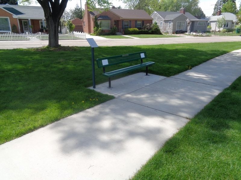
Location. 40° 14.075′ N, 111° 38.711′ W. Marker is in Provo, Utah, in Utah County. It is in Joaquin. Marker can be reached from North 800 East north of East Center Street. Marker is located at Memorial Park. Touch for map. Marker is at or near this postal address: 61 N 750 E, Provo UT 84606, United States of America. Touch for directions.
Other nearby markers. At least 8 other markers are within walking distance of this marker. A Wheelbarrow Parade in 1888 Helped Bring Political Parties to Provo (within shouting distance of this marker); Provo’s First Jail Was Built in 1871
(within shouting distance of this marker); Dr. Barney Clark (within shouting distance of this marker); Utah Territorial Insane Asylum Came to Provo in 1885 (about 400 feet away, measured in a direct line); Fire Destroys Brigham Young Academy Building (about 400 feet away); Early Residents of Provo lacked Land Titles (about 400 feet away); Harmon Park (approx. ¼ mile away); Superintendent's Residence - Utah State Hospital (approx. ¼ mile away). Touch for a list and map of all markers in Provo.
Credits. This page was last revised on May 16, 2023. It was originally submitted on May 16, 2023, by Jason Voigt of Glen Carbon, Illinois. This page has been viewed 107 times since then and 38 times this year. Photos: 1, 2. submitted on May 16, 2023, by Jason Voigt of Glen Carbon, Illinois.

