Kennett Township in Kennett Square in Chester County, Pennsylvania — The American Northeast (Mid-Atlantic)
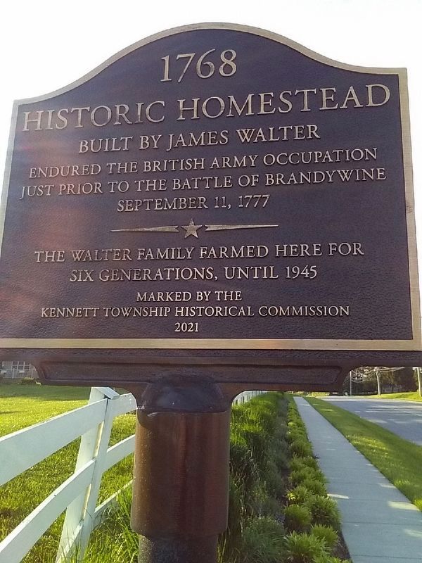
Historic Homestead
1768
Endured the British army occupation
just prior to the Battle of Brandywine
September 11, 1777
The Walter family farmed here for
six generations, until 1945
marked by the
Kennett Township Historical Commission
2021
Erected 2021 by Kennett Township Historical Commission.
Topics. This historical marker is listed in these topic lists: Settlements & Settlers • War, US Revolutionary. A significant historical date for this entry is September 11, 1777.
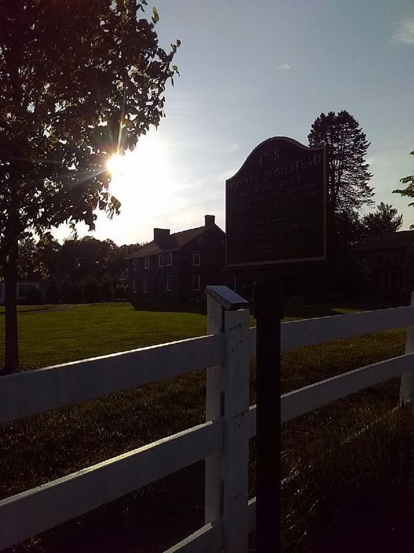
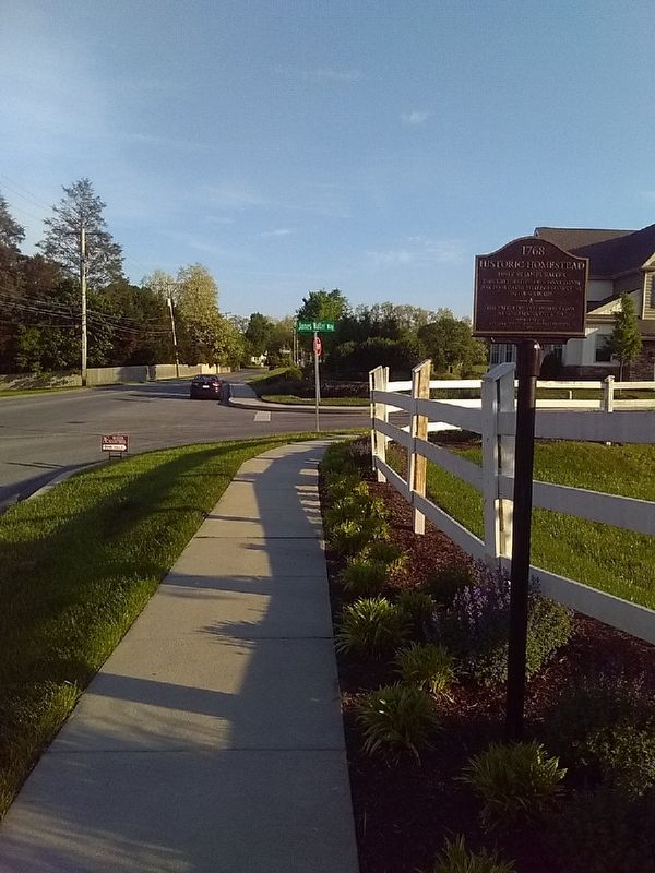
Location. 39° 50.073′ N, 75° 42.481′ W. Marker is in Kennett Square, Pennsylvania, in Chester County. It is in Kennett Township. Marker is at the intersection of S. Union Street and James Walter Way, on the right when traveling south on S. Union Street. From US 1 expressway, go south on Pa. 82 through downtown Kennett Square on Union Street, then, as Pa. 82 turns left, continue straight ahead (road becomes Kaolin Road). Touch for map. Marker is in this post office area: Kennett Square PA 19348, United States of America. Touch for directions.
Other nearby markers. At least 8 other markers are within 2 miles of this marker, measured as the crow flies. Wm. W. Fahey Post No. 491 (approx. 0.6 miles away); Herb Pennock Park - A History (approx. 0.9 miles away); State Fencibles of Philadelphia Campsite (approx. 0.9 miles away); Kennett Square (approx. 0.9 miles away); Isaac D. Johnson (approx. 0.9 miles away); Crown Forces Encampment (approx. 0.9 miles away); The Manor of Steyning (approx. 1.2 miles away); Traversing the Red Clay Valley (approx. 1.6 miles away). Touch for a list and map of all markers in Kennett Square.
Credits. This page was last revised on May 22, 2023. It was originally submitted on May 21, 2023, by Carl Gordon Moore Jr. of North East, Maryland. This page has been viewed 98 times since then and 27 times this year. Photos: 1. submitted on May 21, 2023, by Carl Gordon Moore Jr. of North East, Maryland. 2, 3. submitted on May 22, 2023, by Carl Gordon Moore Jr. of North East, Maryland. • Bill Pfingsten was the editor who published this page.


