East Petersburg in Lancaster County, Pennsylvania — The American Northeast (Mid-Atlantic)
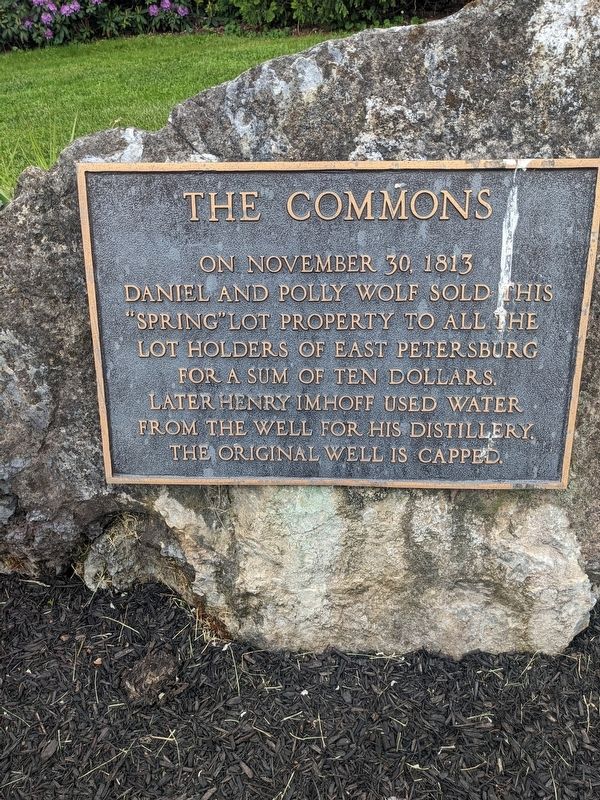
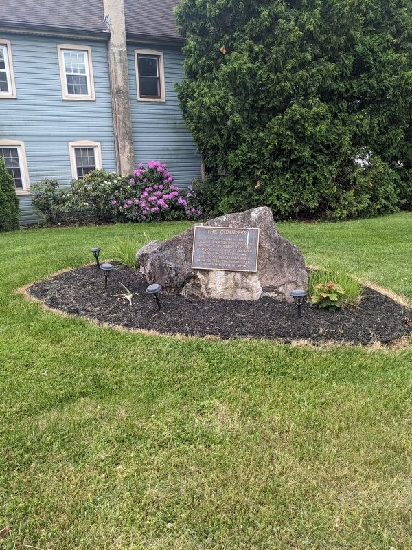
The Commons
Topics. This historical marker is listed in these topic lists: Charity & Public Work • Industry & Commerce • Settlements & Settlers. A significant historical date for this entry is November 30, 1813.
Location. 40° 6.124′ N, 76° 21.262′ W. Marker is in East Petersburg, Pennsylvania, in Lancaster County. Marker is on Main Street (Pennsylvania Route 72) north of Park Avenue, on the left when traveling north. Touch for map. Marker is at or near this postal address: 6160 Main Street, East Petersburg PA 17520, United States of America. Touch for directions.
Other nearby markers. At least 8 other markers are within 4 miles of this marker, measured as the crow flies. Tom Herr Field (about 700 feet away, measured in a direct line); East Petersburg (approx. 0.3 miles away); a different marker also named East Petersburg (approx. 0.8 miles away); Landis Mill Covered Bridge (1873) (approx. 2.4 miles away); Landisville (approx. 2.4 miles away); Lancaster Area Refuse Authority (approx. 3.2 miles away); 1717 (approx. 3.3 miles away); Lancaster Brick Company (approx. 3.3 miles away). Touch for a list and map of all markers in East Petersburg.
Credits. This page was last revised on May 24, 2023. It was originally submitted on May 21, 2023, by William Pope of Marietta, Pennsylvania. This page has been viewed 46 times since then and 10 times this year. Photos: 1, 2, 3, 4. submitted on May 21, 2023, by William Pope of Marietta, Pennsylvania. • Bill Pfingsten was the editor who published this page.


