Landsdale in Hamilton, Ontario — Central Canada (North America)
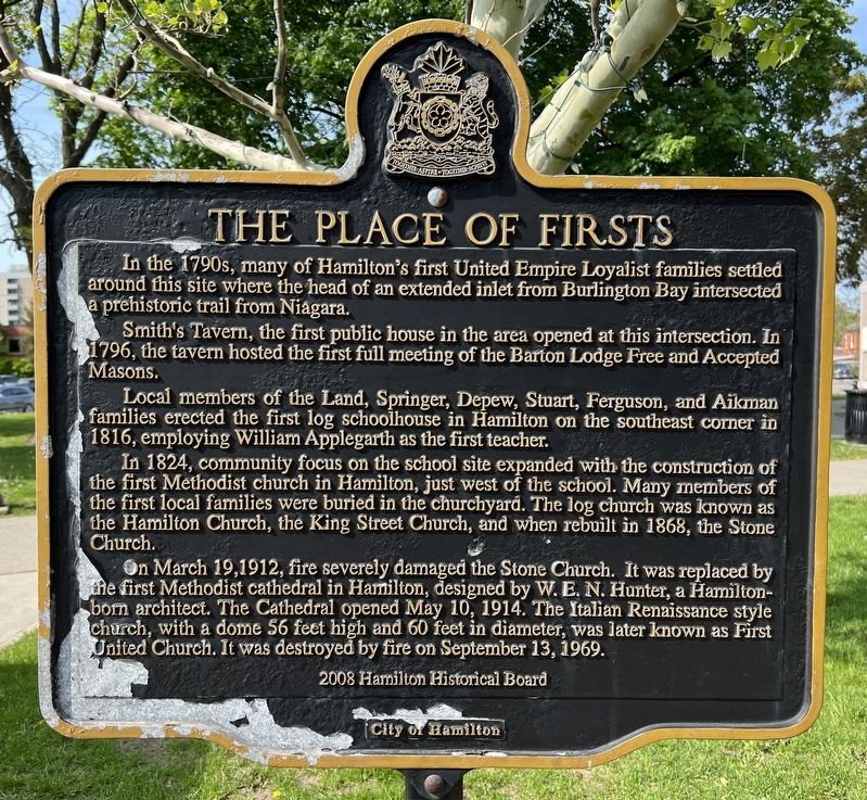
The Place of Firsts
In the 1790s, many of Hamilton's first United Empire Loyalist families settled around this site where the head of an extended inlet from Burlington Bay intersected a prehistoric trail from Niagara.
Smith's Tavern, the first public house in the area opened at this intersection. In 1796, the tavern hosted the first full meeting of the Barton Lodge Free and Accepted Masons.
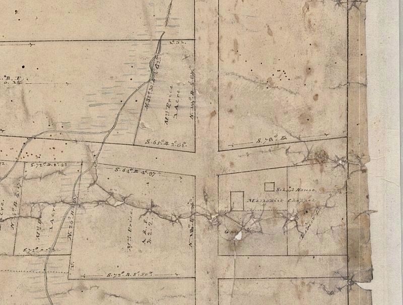
Local members of the Land, Springer, Depew, Stuart, Ferguson, and Aikman families erected the first log schoolhouse in Hamilton on the southeast corner in 1816, employing William Applegarth as the first teacher. In 1824, community focus on the school site expanded with the construction of the first Methodist church in Hamilton, just west of the school. Many members of the first local families were buried in the churchyard. The log church was known as the Hamilton Church, the King Street Church, and when rebuilt in 1868, the Stone Church.
On March 19, 1912, fire severely damaged the Stone Church. It was replaced by the first Methodist cathedral in Hamilton, designed by W. E. N. Hunter, a Hamilton-born architect. The Cathedral opened May 10, 1914. The Italian Renaissance style church, with a dome 56 feet high and 60 feet in diameter, was later known as First United Church. It was destroyed by fire on September 13, 1969.
2008 Hamilton Historical Board
City of Hamilton
Erected 2008 by Hamilton Historical Board, City of Hamilton.
Topics. This historical marker is listed in these topic lists: Churches & Religion • Education • Fraternal or Sororal Organizations • Settlements & Settlers. A significant historical year for this entry is 1816.
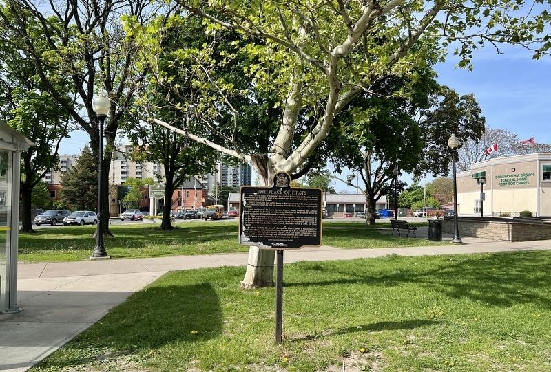
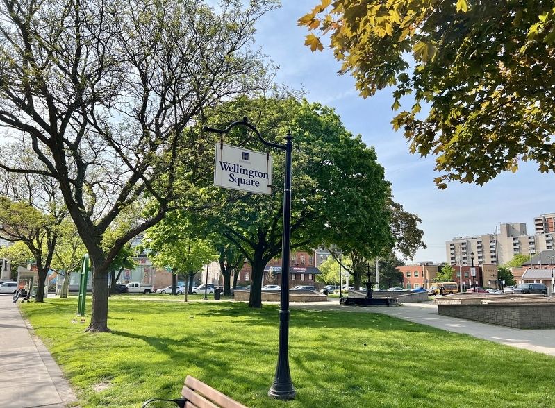
Location. 43° 15.212′ N, 79° 51.542′ W. Marker is in Hamilton, Ontario. It is in Landsdale. Marker is at the intersection of King Street East and Wellington Street North, on the right when traveling west on King Street East. Touch for map. Marker is in this post office area: Hamilton ON L8N 3Y2, Canada. Touch for directions.
Other nearby markers. At least 8 other markers are within walking distance of this marker. Canada’s First Birth Control Clinic (approx. 0.3 kilometers away); Sir John Morison Gibson (approx. 0.6 kilometers away); The City of Hamilton Cenotaph (approx. 0.7 kilometers away); George Hamilton 1787-1836 (approx. 0.7 kilometers away); The United Empire Loyalists (approx. 0.7 kilometers away); Stewart Memorial Church (approx. 0.8 kilometers away); The First Telephone Exchange in the British Empire (approx. 0.9 kilometers away); St. Paul’s Church (approx. 0.9 kilometers away). Touch for a list and map of all markers in Hamilton.
Also see . . . First Place: A Place of Firsts. Article describing the area of King and Wellington Streets: The dusty corner of James Street (named after Hughson's son) and King Street would soon become the mercantile center of Hamilton. But one mile to the east, the broad corner at Wellington/Victoria and King, where an sinewy inlet reached all the way up, from what was then known as Macassa Bay was a more important junction in the region, a crossroads steeped in history. (Submitted on May 22, 2023, by Tim Boyd of Hamilton, Ontario.)
Credits. This page was last revised on May 23, 2023. It was originally submitted on May 22, 2023, by Tim Boyd of Hamilton, Ontario. This page has been viewed 212 times since then and 158 times this year. Photos: 1, 2, 3, 4. submitted on May 22, 2023, by Tim Boyd of Hamilton, Ontario. • Andrew Ruppenstein was the editor who published this page.


