Alpine in Utah County, Utah — The American Mountains (Southwest)
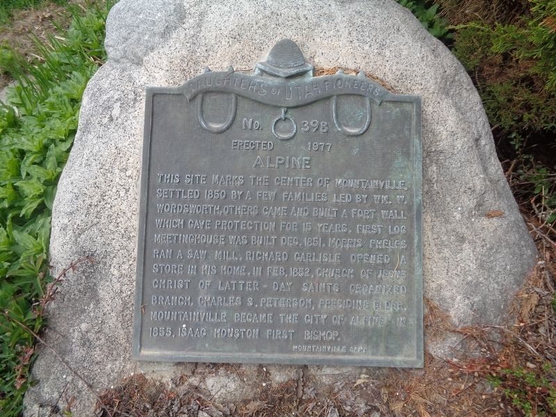
Alpine
Erected 1977 by Daughters of Utah Pioneers (Mountainville Camp). (Marker Number 398.)
Topics and series. This historical marker is listed in these topic lists: Churches & Religion • Industry & Commerce • Settlements & Settlers. In addition, it is included in the Daughters of Utah Pioneers series list. A significant historical month for this entry is February 1852.
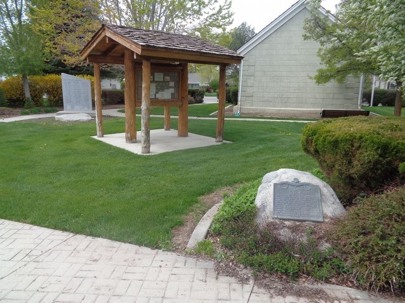
Location. 40° 27.233′ N, 111° 46.647′ W. Marker is in Alpine, Utah, in Utah County. Marker can be reached from North Main Street north of Center Street. Marker is located on the grounds behind Alpine City Hall. Touch for map. Marker is at or near this postal address: 50 N Main St, Alpine UT 84004, United States of America. Touch for directions.
Other nearby markers. At least 8 other markers are within walking distance of this marker. Alpine Pioneer Relic Hall (within shouting distance of this marker); Alpine City Hall (within shouting distance of this marker); Site of Two Alpine Churches (about 300 feet away, measured in a direct line); Fort Mountainville (about 400 feet away); The Old Red Schoolhouse 1899-1965 (approx. 0.2 miles away); Veterans Memorial (approx. 0.3 miles away); John Rowe Moyle (approx. 0.4 miles away); First Public Building - Alpine (approx. half a mile away). Touch for a list and map of all markers in Alpine.
Credits. This page was last revised on May 23, 2023. It was originally submitted on May 23, 2023, by Jason Voigt of Glen Carbon, Illinois. This page has been viewed 66 times since then and 9 times this year. Photos: 1, 2. submitted on May 23, 2023, by Jason Voigt of Glen Carbon, Illinois.

