Green Prairie Township near Little Falls in Morrison County, Minnesota — The American Midwest (Upper Plains)
Area Settlement
Charles A. Lindbergh State Park
— Little Elk/Schoessling Unit —
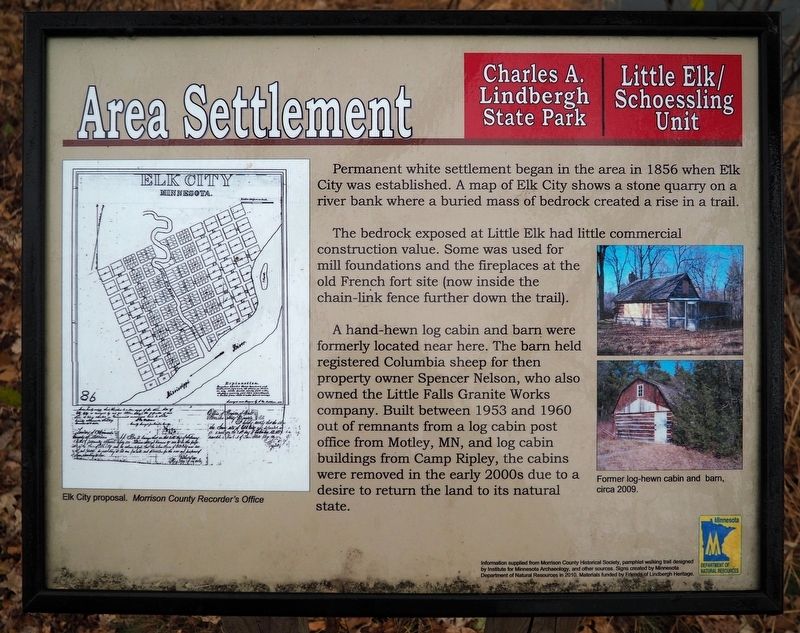
Permanent white settlement began in the area in 1856 when Elk City was established. A map of Elk City shows a stone quarry on a river bank where a buried mass of bedrock created a rise in a trail.
The bedrock exposed at Little Elk had little commercial construction value. Some was used for mill foundations and the fireplaces at the old French fort site (now inside the chain-link fence further down the trail).
A hand-hewn log cabin and barn were formerly located near here. The barn held registered Columbia sheep for then property owner Spencer Nelson, who also owned the Little Falls Granite Works company. Built between 1953 and 1960 out of remnants from a log cabin post office from Motley, MN, and log cabin buildings from Camp Ripley, the cabins were removed in the early 2000s due to a desire to return the land to its natural state.
Captions:
Elk City proposal. Morrison County Recorder's Office
Former log-hewn cabin and barn, circa 2009.
Erected 2010 by Minnesota Department of Natural Resources.
Topics. This historical marker is listed in these topic lists: Architecture • Settlements & Settlers. A significant historical year for this entry is 1856.
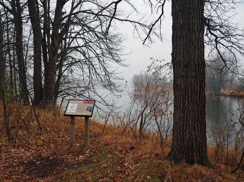
Location. 46° 0.625′ N, 94° 21.814′ W. Marker is near Little Falls, Minnesota, in Morrison County. It is in Green Prairie Township. Marker can be reached from Grouse Road. The marker is in the Little Elk unit of Charles A. Lindbergh State Park along the loop interpretive trail. Touch for map. Marker is at or near this postal address: 17443 Grouse Road, Little Falls MN 56345, United States of America. Touch for directions.
Other nearby markers. At least 8 other markers are within walking distance of this marker. Milling District (within shouting distance of this marker); Ojibwe Presence (within shouting distance of this marker); Pike and Nicollet's Visits (within shouting distance of this marker); Log Jams (about 600 feet away, measured in a direct line); Institute for MN Archeology Site MO20 (about 700 feet away); The French Fort (approx. 0.3 miles away); Major Morrill's Road (approx. 0.4 miles away); Interesting Names (approx. 0.4 miles away). Touch for a list and map of all markers in Little Falls.
Credits. This page was last revised on May 24, 2023. It was originally submitted on May 23, 2023, by McGhiever of Minneapolis, Minnesota. This page has been viewed 54 times since then and 9 times this year. Photos: 1, 2. submitted on May 23, 2023, by McGhiever of Minneapolis, Minnesota. • J. Makali Bruton was the editor who published this page.

