Ogdensburg in St. Lawrence County, New York — The American Northeast (Mid-Atlantic)
Fort de la Présentation
Outpost on the Oswegatchie
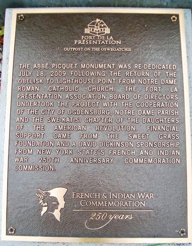
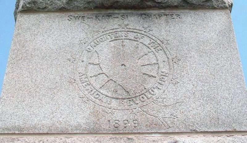
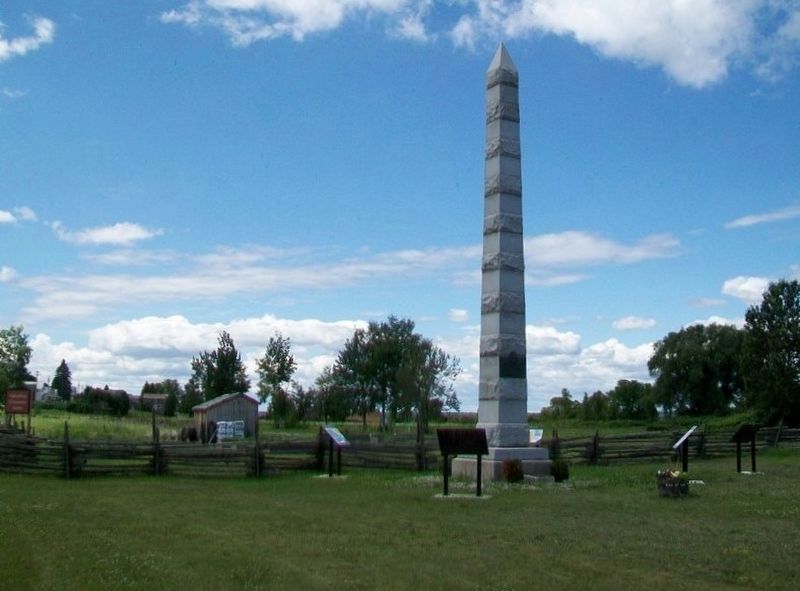
The Abbé Picquet monument was re-dedicated July 18, 2009 following the return of the obelisk to Lighthouse Point from Notre Dame Roman Catholic Church. The Fort la Présentation Assocation Board of Directors undertook the project with the cooperation of the City of Ogdensburg, Notre Dame Parish and the Swe-Kat-Si Chapter of the Daughters of the American Revolution. Financial support came from the Sweet Grass Foundation and a David Dickinson Sponsorship from New York State's French and Indian War 250th Anniversary Commemoration Commission.
Erected by Swe-Kat-Si Chapter Daughters of the American Revolution (DAR).
Topics and series. This historical marker is listed in this topic list: Forts and Castles. In addition, it is included in the Daughters of the American Revolution series list. A significant historical date for this entry is July 18, 2009.
Location. 44° 41.667′ N, 75° 30.073′ W. Marker is in Ogdensburg, New York, in St. Lawrence County. Marker is on Market Street (New York State Route 68) east of Albany Avenue, on the left when traveling east. Touch for map. Marker is at or near this postal address: 20 Market St, Ogdensburg NY 13669, United States of America. Touch for directions.
Other nearby markers. At least 8 other markers are within walking distance of this marker. Fort la Présentation (here, next to this marker); Fort de la Présentation - 1749-1759 (here, next to this marker); Fort Lévis - 1760 (here, next to this marker); Fort Oswegatchie 1760-1796 (here, next to this marker); The Battle of Ogdensburg (here, next to this marker); Aka Se We':Ka Tsi (Oswegatchie) (here, next to this marker); Abbe Picquet 1708 -1781 (about 400 feet away, measured in a direct line); Mission Fort (about 500 feet away). Touch for a list and map of all markers in Ogdensburg.
Credits. This page was last revised on May 25, 2023. It was originally submitted on May 25, 2023. This page has been viewed 75 times since then and 18 times this year. Photos: 1, 2, 3. submitted on July 28, 2014, by William Fischer, Jr. of Scranton, Pennsylvania. • J. Makali Bruton was the editor who published this page.


