Near Chestertown in Kent County, Maryland — The American Northeast (Mid-Atlantic)
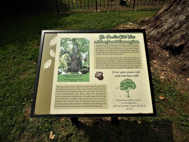
St. Paul's Oak Tree
a Maryland Champion
There have been many claims that other Maryland trees are older, but according to the Big Tree Program of the U.S. Department of Agriculture and the Maryland Department of Natural Resources Forest Service, St. Paul's tree was the oldest tree which could be documented as such and that date is recorded in the early annals of the Parish as 1682.
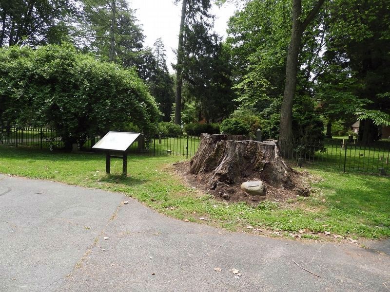
With age comes frailty and poor health, and in 2010, when this glorious monarch of God's creation had reached its peak it had been in noticeable decline for some time. The tree lost a few extraordinarily large limbs, which fell dangerously close to passersby. Unbalanced, although appearing strong, the tree became a liability. After much discussion and consultation, the St. Paul's Vestry decided that the best course of action was to take the tree down. Needless to say that its grandeur will long live in the hearts of St. Paul's Parishioners
Over 400-years-old and 106 feet tall!
Measuring 24 feet, 6 inches in circumference with an average crown spread of 92 feet
Topics. This historical marker is listed in this topic list: Churches & Religion.
Location. 39° 11.22′ N, 76° 10.79′ W. Marker is near Chestertown, Maryland, in Kent County. Marker can be reached from Sandy Bottom Road, 0.1 miles north of Sandy Bottom Road & Ricauds Branch Road. This marker is in the parking lot of the church. Touch for map. Marker is at or near this postal address: 7579 Sandy Bottom Rd, Chestertown MD 21620, United States of America. Touch for directions.
Other nearby markers. At least 8 other markers are within 5 miles of this marker, measured as the crow flies. Battle of Caulk’s Field (approx. 1.1 miles away); Caulk’s Field Monument (approx. 1.6 miles away); Martin Wagner (approx. 2.9 miles away); Bass Propagation Lake (approx. 3.2 miles away); Rude Awakening (approx. 3.6 miles away); Tolchester Beach Amusement Park (approx. 3.8 miles away); Captain Lambert Wickes (approx. 4˝ miles away); Stanley B. Vansant Memorial (approx. 4˝ miles away).
Credits. This page was last revised on June 5, 2023. It was originally submitted on May 26, 2023, by Larry Slagle of Chestertown, Maryland. This page has been viewed 268 times since then and 15 times this year. Photos: 1, 2, 3. submitted on May 26, 2023, by Larry Slagle of Chestertown, Maryland. • Bill Pfingsten was the editor who published this page.


