Summerville in Dorchester County, South Carolina — The American South (South Atlantic)
Stallsville
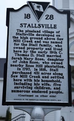
The pineland village of Stallsville developed on the high ground above Saw Mill Creek and was named for the Stall family, who owned property and lived here by the early 19th C. Thomas D. Stall married Sarah Mary Rose, daughter of John Rose, who owned nearby Rose Hill plantation, in 1797. In 1816, Stall purchased 431 acres along Saw Mill Creek and settled here with his household, including his wife, five surviving children, and numerous enslaved people.
(Continued on other side)
Reverse
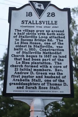
(Continued from other side)
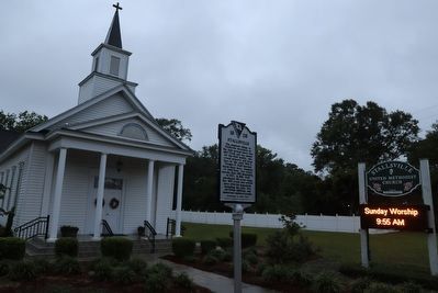
The village grew up around a half circle with both ends of Stallsville Loop attached to Bacons Bridge Rd. The Le Bleu House, one of the oldest in Stallsville, was built c. 1810. Construction of Stallsville Methodist Church began in 1887 on land that had been part of the Le Bleu plantation. The church formed with a core of 21 initial members. Rev. Andrew D. Green was the first pastor and husband of Arabella Stall, one of the granddaughters of Thomas D. and Sarah Rose Stall.
Erected 2018 by Summerville Preservation Society. (Marker Number 18-28.)
Topics. This historical marker is listed in these topic lists: African Americans • Churches & Religion • Settlements & Settlers. A significant historical year for this entry is 1797.
Location. 32° 59.71′ N, 80° 11.132′ W. Marker is in Summerville, South Carolina, in Dorchester County. Marker is on Stallsville Loop. Touch for map. Marker is at or near this postal address: 255 Stallsville Loop, Summerville SC 29485, United States of America. Touch for directions.
Other nearby markers. At least 8 other markers are within 2 miles of this marker, measured as the crow flies. Pinehurst Tea Farm (approx. ¾ mile away); Pine Forest Inn (approx. 1.1 miles away); Summerville Memorial Stadium (approx. 1.1 miles away); Coach John McKissick and his wife, Joan (approx. 1.1 miles away); The Old Town Hall (approx. 1.1 miles away); Summerville High School / Coach John McKissick (1926-2019) (approx. 1.1 miles away); The Axtell Dam at Sawmill Branch (approx. 1.2 miles away); Newington Plantation (approx. 1.4 miles away). Touch for a list and map of all markers in Summerville.
Credits. This page was last revised on May 29, 2023. It was originally submitted on May 28, 2023, by Dave W of Co, Colorado. This page has been viewed 142 times since then and 62 times this year. Photos: 1, 2, 3. submitted on May 28, 2023, by Dave W of Co, Colorado. • J. Makali Bruton was the editor who published this page.


