Amersfoort, Utrecht, Netherlands — Northwestern Europe
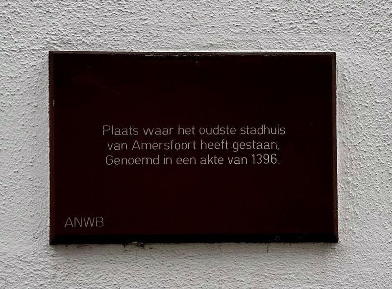
Former City Hall Location
This was the location of the oldest city hall in Amersfoort. Mentioned on a charter dating from 1396.
Erected by The ANWB.
Topics. This historical marker is listed in this topic list: Government & Politics. A significant historical year for this entry is 1396.
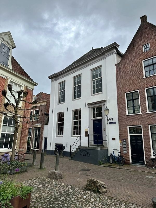
Location. 52° 9.439′ N, 5° 23.25′ E. Marker is in Amersfoort, Utrecht. Marker is on Krommestraat, on the left when traveling north. Touch for map. Marker is at or near this postal address: Krommestraat 70, Amersfoort, Utrecht 3811 BM, Netherlands. Touch for directions.
Other nearby markers. At least 8 other markers are within walking distance of this marker. Abraham van Bemmel (about 120 meters away, measured in a direct line); Oude Stadhuis / Former City Hall (about 150 meters away); Kapelhuis / Chapel House (approx. 0.3 kilometers away); Dubbel Stadshuis / Double Townhouse (approx. 0.3 kilometers away); Piet Mondriaan (approx. 0.3 kilometers away); Dieventoren / Thieves Tower (approx. 0.4 kilometers away); Het Koetshuys / The Coach House (approx. 0.4 kilometers away); Johan van Oldenbarnevelt (approx. 0.4 kilometers away). Touch for a list and map of all markers in Amersfoort.
Also see . . . Stadhuizen (Archieef Eemland, in Dutch). Short article noting that the building considered the oldest city hall, mentioned in a charter from 1396, had various additional uses over the centuries - weighing house, jail, school, and private residence. Also notes that there is not complete agreement that this is the oldest, as some archaeological and archival evidence would suggest otherwise. (Submitted on May 28, 2023.)
Credits. This page was last revised on December 24, 2023. It was originally submitted on May 28, 2023, by Andrew Ruppenstein of Lamorinda, California. This page has been viewed 44 times since then and 3 times this year. Photos: 1, 2. submitted on May 28, 2023, by Andrew Ruppenstein of Lamorinda, California.

