San Juan in Hidalgo County, Texas — The American South (West South Central)
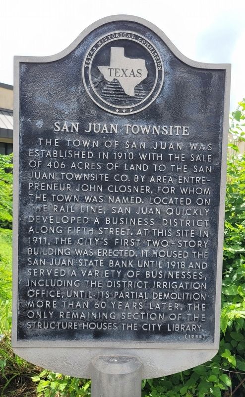
San Juan Townsite
Erected 1984 by Texas Historical Commission. (Marker Number 4545.)
Topics. This historical marker is listed in this topic list: Industry & Commerce. A significant historical year for this entry is 1910.
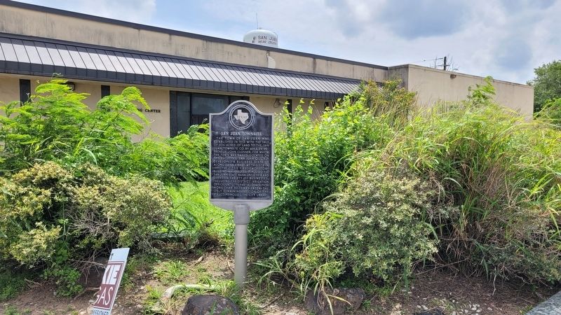
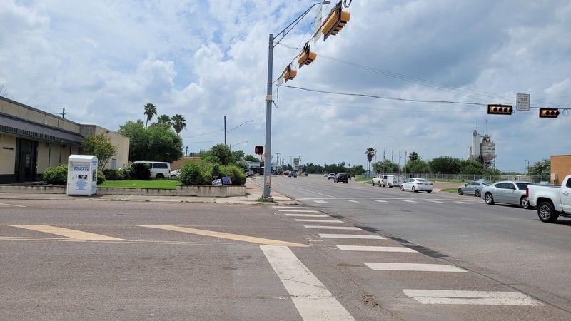
Location. 26° 11.39′ N, 98° 9.53′ W. Marker is in San Juan, Texas, in Hidalgo County. Marker is at the intersection of South Standard Street and West 5th Street (Business State Highway 83), on the right when traveling south on South Standard Street. The marker is located on the front of the building by the street. Touch for map. Marker is at or near this postal address: 500 South Standard Street, San Juan TX 78589, United States of America. Touch for directions.
Other nearby markers. At least 8 other markers are within 2 miles of this marker, measured as the crow flies. Old First National Bank Building Circa 1919 (within shouting distance of this marker); Tom Mayfield (about 700 feet away, measured in a direct line); St. John the Baptist Church Tower 1954 (approx. 0.3 miles away); St. John the Baptist Catholic Church (approx. 0.4 miles away); San Antonio & Rio Grande Railway (approx. ¾ mile away); First Pharr School (approx. 1½ miles away); Buell School (approx. 1½ miles away); Old Pharr City Hall (approx. 1.6 miles away). Touch for a list and map of all markers in San Juan.
Also see . . . San Juan, TX. Texas State Historical Association (TSHA) (Submitted on May 28, 2023, by James Hulse of Medina, Texas.)
Credits. This page was last revised on May 28, 2023. It was originally submitted on May 28, 2023, by James Hulse of Medina, Texas. This page has been viewed 158 times since then and 13 times this year. Photos: 1, 2, 3. submitted on May 28, 2023, by James Hulse of Medina, Texas.


