Manning in Clarendon County, South Carolina — The American South (South Atlantic)
Manning Schools
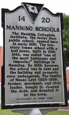
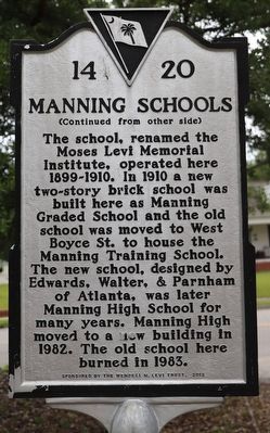
(side 1) The Manning Collegiate Institute, the town’s first public school opened here in early 1890. The two-story frame school with a bell tower, built in 1889-1890, was called “one of the most handsome and imposing” buildings in Manning. By 1899, however, the school was in debt and the building and property were endangered. The family of Moses Levi (1826-1899), farmer, merchant, and civic leader, bought it, cleared the debt, and donated it to the town.
Erected 2012 by The Wendell M. Levi Trust. (Marker Number 14-20.)
Topics. This historical marker is listed in these topic lists: Architecture • Education. A significant historical year for this entry is 1890.
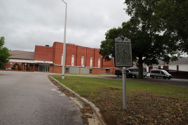
Location. 33° 42.145′ N, 80° 12.687′ W. Marker is in Manning, South Carolina, in Clarendon County. Marker can be reached from Old Georgetown Road west of North Brooks Street (U.S. 301), on the left when traveling west. Touch for map. Marker is at or near this postal address: 7 Old Georgetown Rd, Manning SC 29102, United States of America. Touch for directions.
Other nearby markers. At least 8 other markers are within walking distance of this marker. Hanna Levi Memorial Library / Manning Library (approx. ¼ mile away); Pond Bluff to St Stephens (approx. 0.3 miles away); Ambush at Half-Way Swamp (approx. 0.4 miles away); Trinity A.M.E. Church (approx. 0.4 miles away); Fuel 24 (approx. 0.4 miles away); Francis Marion Reflections (approx. 0.4 miles away); Ebenezer Baptist Church (approx. 0.4 miles away); The Swamp Fox (approx. 0.4 miles away). Touch for a list and map of all markers in Manning.
Credits. This page was last revised on June 6, 2023. It was originally submitted on May 28, 2023, by Dave W of Co, Colorado. This page has been viewed 63 times since then and 21 times this year. Photos: 1, 2, 3. submitted on May 28, 2023, by Dave W of Co, Colorado. • Bernard Fisher was the editor who published this page.


