Sobro in Nashville in Davidson County, Tennessee — The American South (East South Central)
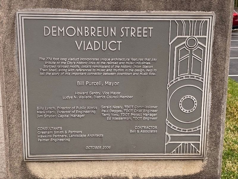
Demonbreun Street Viaduct
Bill Purcell, Mayor
Howard Gentry, Vice Mayor
Ludye N. Wallace, District Council Member
Billy Lynch, Director of Public Works
Mark Macy, Director of Engineering
Jim Snyder, Capital Manager
Gerald Nicely, TDOT Commissioner
Paul Degges, TDOT Chief Engineer
Terry York, TDOT Project Manager
Ed Wasserman, TDOT Engineer
CONSULTANTS:
Gresham Smith & Partners
Hawkins Partners, Landscape Architects
Palmer Engineering
CONTRACTOR:
Bell & Associates
OCTOBER 2006
Erected 2006.
Topics. This historical marker is listed in these topic lists: Architecture • Bridges & Viaducts.
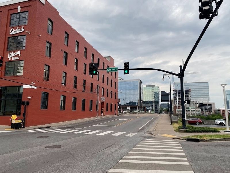
Location. 36° 9.364′ N, 86° 46.983′ W. Marker is in Nashville, Tennessee, in Davidson County. It is in Sobro. Marker is on 10th Avenue South, on the left when traveling north. Touch for map. Marker is at or near this postal address: 205 10th Ave S, Nashville TN 37203, United States of America. Touch for directions.
Other nearby markers. At least 8 other markers are within walking distance of this marker. Vauxhall Garden Site (about 400 feet away, measured in a direct line); Albert Gleaves (about 500 feet away); Union Station (about 700 feet away); Christ Church Cathedral (approx. 0.2 miles away); Nashville Centennial (approx. 0.2 miles away); Captain John Gordon 1763-1819 (approx. 0.2 miles away); The South Field (approx. 0.2 miles away); Lafayette's Tour (approx. 0.2 miles away). Touch for a list and map of all markers in Nashville.
Credits. This page was last revised on June 7, 2023. It was originally submitted on May 31, 2023, by Darren Jefferson Clay of Duluth, Georgia. This page has been viewed 64 times since then and 13 times this year. Photos: 1, 2, 3. submitted on May 31, 2023, by Darren Jefferson Clay of Duluth, Georgia. • Bill Pfingsten was the editor who published this page.


