Forest Hill in Rapides Parish, Louisiana — The American South (West South Central)
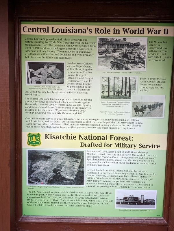
Central Louisiana's Role in World War II
Kisatchie National Forest: Drafted for Military Service
Central Louisiana played a vital role in preparing our Nation's military for World War II starting with the Louisiana Maneuvers in 1940. The Louisiana Maneuvers occurred from 1940 to 1943 and were the largest peacetime exercises in American military history. The maneuvers spanned over 3,400 square miles of central Louisiana and were primarily held between the Sabine and Red Rivers.
Notable Army Officers such as Major General Walter Short, Brigadier General Adna Chaffee, Colonel George S. Patton, Colonel Dwight D. Eisenhower, and LT Colonel Omar Bradley all participated in the Louisiana Maneuvers and would become highly decorated military leaders in World War II.
The central Louisiana landscape provided optimum testing grounds for large, mechanized vehicles and tanks against the mostly mounted cavalry troops under realistic fighting conditions. Colonel Patton's observation of the maneuvers resulted in his statement: "If you can take these tanks through Louisiana, you can take them through hell."
Central Louisiana served as a vast laboratory for testing strategies and innovations such as C-rations, mobile kitchens, and hospitals. Lessons learned in central Louisiana helped the U.S. Army adapt to new, faster-moving infantry divisions. The Louisiana Maneuvers helped to bring a close to the once glorious role of horse-mounted cavalry troops as they gave way to tanks and other mechanized equipment.
Kisatchie National Forest: Drafted for Military Service
In August of 1940, Army Chief of Staff, General George Marshall, visited Louisiana and declared that central Louisiana provided the "finest military training areas he had ever seen." Speculation immediately spread that the Army might choose Louisiana for the location of much needed new training camps and maneuver areas.
In 1941, lands from the Kisatchie National Forest were transferred to the United States Department of War to establish Camps Claiborne, Livingston, and Polk. Shortly thereafter, within a 50-mile radius of Alexandria, Louisiana, four major Army military training camps, four Army airfields and numerous bombing and artillery ranges were constructed to support the growing military training needs of our nation.
The U.S. Army's goal was to establish 100 divisions to support the war efforts in the European, North African, and Pacific Theaters. (A division consists of approximately 10,000 to 15,000 soldiers.) The Army activated 89 divisions from 1941 to 1945. Of those 89 divisions, 45 divisions, which is just over half of the total divisions, trained at either Camp Claiborne, Livingston, or Polk. Over 500,000 U.S. soldiers trained at Camp Claiborne alone
Erected by U.S. Forest Service.
Topics. This historical marker is listed in this topic list: War, World II.
Location. 31° 4.388′ N, 92° 31.358′ W. Marker is in Forest Hill, Louisiana, in Rapides Parish. Marker is on Louisiana 112 near U.S. 165. Touch for map. Marker is at or near this postal address: 10151 LA-112, Forest Hill LA 71430, United States of America. Touch for directions.
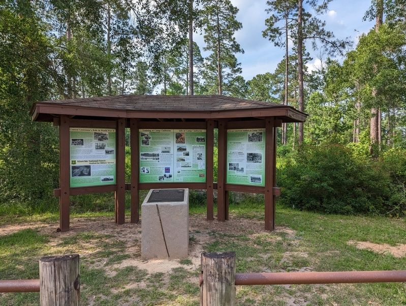
Other nearby markers. At least 8 other markers are within 5 miles of this marker, measured as the crow flies. Camp Claiborne, LA (here, next to this marker); Training At Camp Claiborne / Life At Camp Claiborne (here, next to this marker); African -American Soldiers at Camp Claiborne (here, next to this marker); a different marker also named Camp Claiborne (here, next to this marker); a different marker also named Camp Claiborne (about 300 feet away, measured in a direct line); a different marker also named Camp Claiborne (approx. 0.8 miles away); Locomotive Graveyard (approx. 5 miles away); Clyde Log Skidder (approx. 5 miles away). Touch for a list and map of all markers in Forest Hill.
Credits. This page was last revised on June 4, 2023. It was originally submitted on June 4, 2023, by Cajun Scrambler of Assumption, Louisiana. This page has been viewed 66 times since then and 20 times this year. Photos: 1, 2. submitted on June 4, 2023, by Cajun Scrambler of Assumption, Louisiana.

