Eureka Springs in Carroll County, Arkansas — The American South (West South Central)
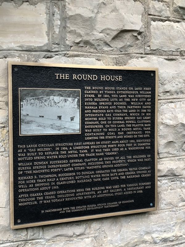
The Round House
The Round House stands on land first claimed by timber entrepreneur William Evans. By 1884, this land was subdivided into building lots as the new city of Eureka Springs boomed. William and Mahala Evans and their partners David and Precious Bays sold the land in 1886 to Interstate Gas Company, which in six months sold to Eureka Springs Gas Light Company, one of General Powell Clayton's enterprises. On this land, the pilaster base was built to hold a round metal tank containing coal gas (methane) for lighting the streets and homes of the city.
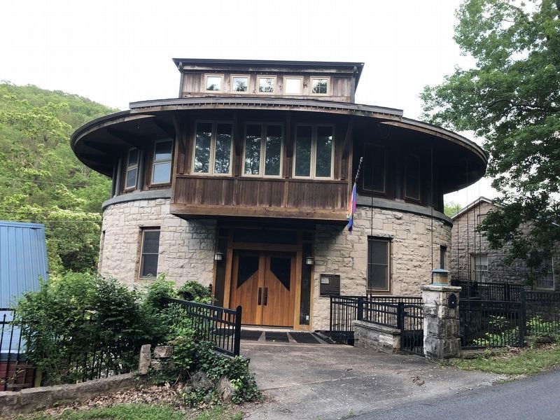
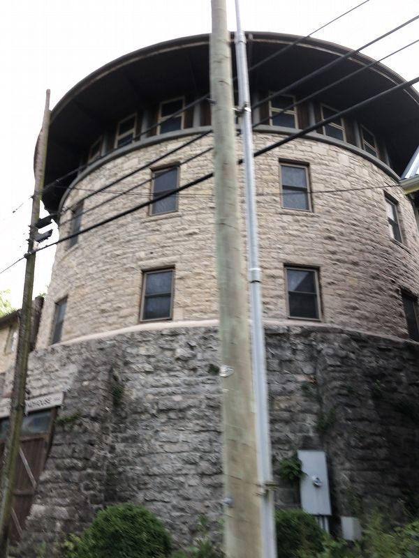
This large circular structure first appears on street maps about 1892, identified as a "gas holder". In 1904, a limestone structure forty four feet in diameter was built to replace the metal tank. It was then used as a warehouse for bottled spring water sold under the trade name "Ozarka".
William Duncan succeeded General Clayton as owner of all the holdings of Eureka Springs Improvement Company, including this property, which was part of "the Magnetic Forty", later titled "Magnetic Springs Addition”.
Richard R. Thompson, successor to Duncan, operated the Ozarka Water Company for more than half a century, bottling water from Bay's and Ozarka Springs as well as shipping in glass-lined railroad tank cars until the railroad ceased operations about 1965.
After Ozarka ceased operations here the building was used for various purposes through the years, including apartments, an art gallery, a restaurant and nightclub. It was totally renovated with an additional story added in 2002.
Erected by The Greater Eureka Springs Chamber of Commerce • The Community Development Partnership.
Topics. This historical marker is listed in these topic lists: Architecture • Industry & Commerce. A significant historical year for this entry is 1892.
Location. 36° 24.781′ N, 93° 44.056′ W. Marker is in Eureka Springs, Arkansas, in Carroll County. Marker is on Hillside Avenue south of North Main Street (Arkansas Route 23), on the left when traveling south. Touch for map. Marker is at or near this postal address: 77 Hillside Ave, Eureka Springs AR 72632, United States of America. Touch for directions.
Other nearby markers. At least 8 other markers are within walking distance of this marker. The Brownstone Inn (a few steps from this marker); Steam Locomotive (within shouting distance of this marker); The Railroad Depot (about 300 feet away, measured in a direct line); The Town that Water Built (about 600 feet away); The Star of Gladness (approx. 0.2 miles away); Bridgeford House (approx. 0.2 miles away); Grotto Spring (approx. ¼ mile away); Magnetic Spring (approx. 0.3 miles away). Touch for a list and map of all markers in Eureka Springs.
Also see . . .
Square Peg in a Round House?. Homes website entry (Submitted on June 6, 2023, by Larry Gertner of New York, New York.)
Credits. This page was last revised on June 6, 2023. It was originally submitted on June 4, 2023, by Duane and Tracy Marsteller of Murfreesboro, Tennessee. This page has been viewed 333 times since then and 201 times this year. Photos: 1, 2, 3. submitted on June 4, 2023, by Duane and Tracy Marsteller of Murfreesboro, Tennessee.


