Capitol Hill in Salt Lake City in Salt Lake County, Utah — The American Mountains (Southwest)
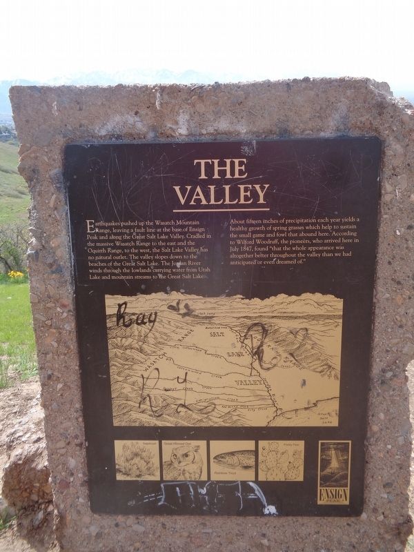
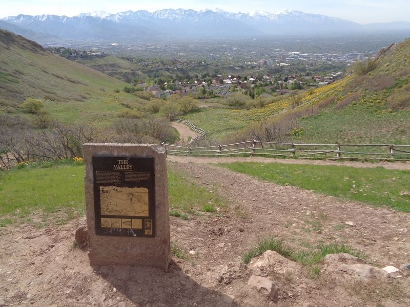
The Valley
About fifteen inches of precipitation each year yields a healthy growth of spring grasses which help to sustain the small game and fowl that abound here. According to Wilford Woodruff, the pioneers, who arrived here in July 1847, found "that the whole appearance was altogether better throughout the valley than we had anticipated or even dreamed of."
Topics. This historical marker is listed in this topic list: Settlements & Settlers. A significant historical month for this entry is July 1847.
Location. 40° 47.711′ N, 111° 53.376′ W. Marker is in Salt Lake City, Utah, in Salt Lake County. It is in Capitol Hill. Marker can be reached from Ensign Vista Drive west of East Greenstroke Drive. Marker is off a 0.5 mile trail that leads to the top of the Ensign Peak (starts at the Plaza). Touch for map. Marker is at or near this postal address: 1002 N Ensign Vista Dr, Salt Lake City UT 84103, United States of America. Touch for directions.
Other nearby markers. At least 8 other markers are within walking distance of this marker. The Summit (about 400 feet away, measured in a direct line); Flags on Ensign Peak (about 400 feet away); The View (about 400 feet away); Ensign Peak (about 400 feet away); a different marker also named The View (approx. 0.2 miles away); The Explorers (approx. ¼ mile away); The American Indians (approx. ¼ mile away); The Pioneers (approx. ¼ mile away). Touch for a list and map of all markers in Salt Lake City.
Credits. This page was last revised on June 5, 2023. It was originally submitted on June 5, 2023, by Jason Voigt of Glen Carbon, Illinois. This page has been viewed 114 times since then and 13 times this year. Photos: 1, 2. submitted on June 5, 2023, by Jason Voigt of Glen Carbon, Illinois.

