Pismo Beach in San Luis Obispo County, California — The American West (Pacific Coastal)
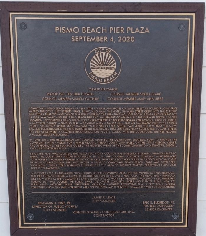
Pismo Beach Pier Plaza
September 4, 2020
— Mayor Ed Waage —
Mayor Pro Tem Erik Howell
Council Member Sheila Blake
Council Member Marcia Guthrie
Council Member Mary Ann Reiss
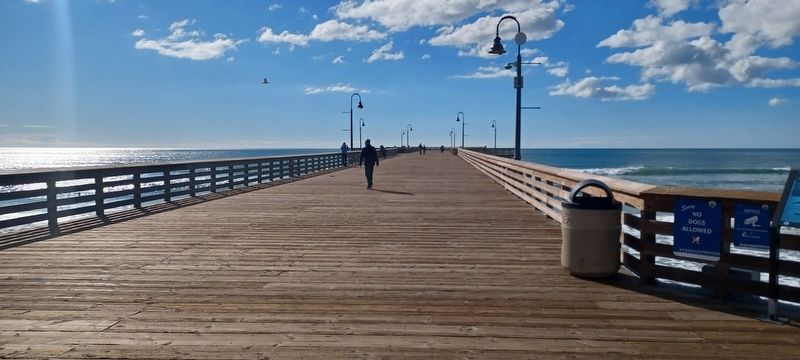
Downtown Pismo Beach began in 1881 with a wharf and hotel on Main Street as founder john Price mapped the city’s first streets. Price, Pismo, and Main, the hotel on Main Street grew into the El Pizmo Inn, with a tent city and dance pavilion covering the area that includes today’s plaza and parking lot in 1924. W.W. Ward and the Pismo Beach Pier and Amusement Company built the pier and seawall in this location. Downtown Pismo Beach was characterized by tourist - serving attraction, such as hotels, a saltwater plunge, a skating rink, a bowling alley, a dance hall, and an amusement park with a Ferris wheel. Following severe storm damage to the pier in 1983, within two years the city built the now famous four-diamond pier and initiated the boardwalk that stretches from Addie Street to Man Street. The pier underwent a complete reconstruction in 2018 along with the downtown, the pier remains a major tourist attraction.
In June 2014, the Pismo Beach City Council adopted the downtown strategic plan, to provide the community with a vision for refreshed and vibrant downtown based on the city’s history, values, and aspirations. The plan has guided the redevelopment of the downtown into a distinctive, special and unforgettable place.
Since the plan was adopted, the Pismo Beach City Council has invested in several improvements to bring the downtown vision into reality. In 2018, the colored concrete sidewalks were replaced with pavers, providing a fresh look to the area, new bike racks, and trash and recycling cans were installed throughout the downtown. A unique downtown Pismo Beach logo was developed wayfinding signs were installed throughout the area to improve traffic, pedestrian flow, and access to amenities.
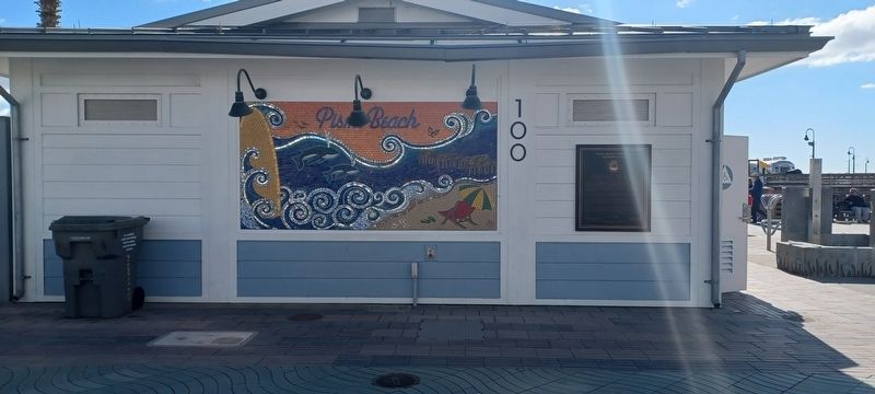
In October 2019, as the major focal points of the downtown area, the pier parking lot, pier restroom, and pier entrance began a complete reconstruction to become a new plaza. The Pismo Beach Pier Plaza will now serve as the community’s living room. It adds many new features, including a reconfigured parking lot that doubles the public space, decorative concrete pavers and planter areas, new site furnishings, artwork, shade structures, whimsical amenities promoting play, a new beach access structure, and a play and interpretive area for children may it serve the community well for generations.
James R. Lewis City Manager
Benjamin A. Fine, P.E. Director of Public Works/City Engineer
Vernon Edwards Constructors, Inc. Contractors
Eric R. Eldridge, P.E. Project Manager/Senior Engineers
Erected 2020 by City of Pismo Beach.
Topics. This historical marker is listed in this topic list: Notable Places. A significant historical month for this entry is June 2014.
Location. 35° 8.338′ N, 120° 38.579′ W. Marker is in Pismo Beach, California, in San Luis Obispo County. Marker is on Pomeroy Ave, on the right when traveling west. Touch for map. Marker is at or near this postal address: 100 Pomeroy Ave, Pismo Beach CA 93449, United States of America. Touch for directions.
Other nearby markers. At least 8 other markers are within 7 miles of this marker, measured as the crow flies. History of Pismo Clams in California (about 400 feet away, measured in a direct line); The History of Pismo Beach Wharf and Pier (about 600 feet away); Dr. Rudolf W. Gerber Memorial Park (approx. 2.9 miles away); Southern Pacific Railroad Depot (approx. 2.9 miles away); Oceano Depot (approx. 2.9 miles away); Oceano Honor Roll (approx. 2.9 miles away); Pacific Coast Railway Right-Of-Way / A Terrible Tragedy (approx. 4 miles away); Pier Into The Past (approx. 6.2 miles away). Touch for a list and map of all markers in Pismo Beach.
Credits. This page was last revised on June 22, 2023. It was originally submitted on June 7, 2023, by Denise Boose of Tehachapi, California. This page has been viewed 84 times since then and 19 times this year. Photos: 1, 2, 3, 4. submitted on June 7, 2023, by Denise Boose of Tehachapi, California. • Bill Pfingsten was the editor who published this page.


