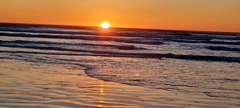
Pismo Beach in San Luis Obispo County, California — The American West (Pacific Coastal)
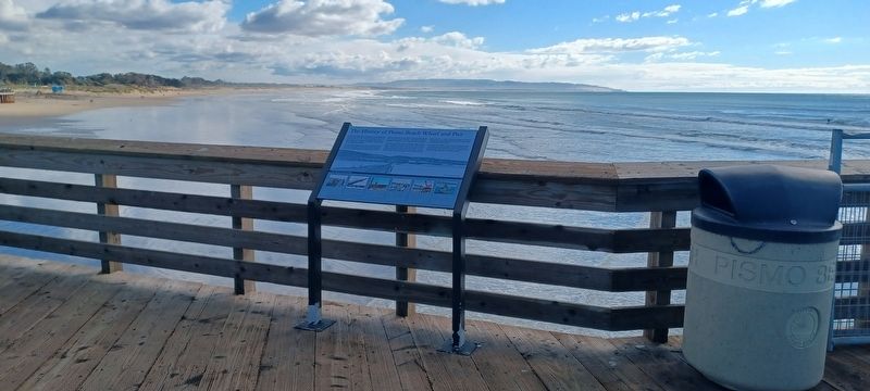
The History of Pismo Beach Wharf and Pier
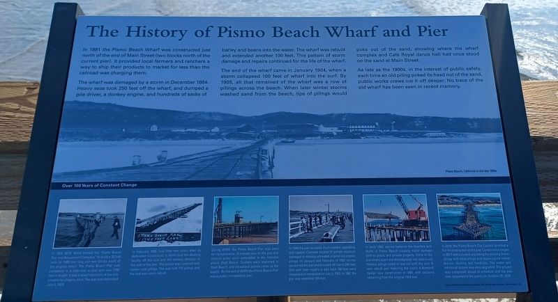
The wharf was damaged by a storm in December 1884. Heavy seas took 250 off the wharf, and dumped a pile driver, a donkey engine, and hundreds of sacks of barley and beans into the water. The wharf was rebuilt and extended another 100 feet. This pattern of storm damage and repairs continued for the life of the wharf.
The end of the wharf came in January 1904, when a storm collapsed 100 feet of wharf into the surf. By 1905, all that remained of the wharf was a row of pilings across the beach. When later winter storms washed sand from the beach, tips of piling would poke out of the sand, showing where the wharf complex and Café Royal dance hall had once stood on the sand at Main Street.
As late as the 1980s, in the interest of public safety, each time an old piling poked its head out of the sand public works crews cut it off deeper. No trace of the old wharf has been seen in recent memory.
Panels below from left to right:
In 1923, W.W. Ward formed the “Pismo Beach Pier and Amusement Company” to build a 32 foot wide by 1400 foot long pier tow blocks south of the orginal wharf. The Pismo Beach Pier was completed ina little over a year and was 1740 feet in length. It has a wharf structure at the end suitable for ships to dock. The pier was dedicated July 4, 1924.
In February 1926, less than two years after its dedication celebration, a storm took the docking facility off the end and did serious damage to the rest of the pier. The beach was covered with lumber and pilings. The pier lost 115 pilings and the end was never rebuilt.
During WWII, the Pismo Beach Pier was used for recognizance [sic-reconnaissance]. A lookout was on the pier and lookout posts were embedded in the hillsides above Shell Beach. Soldiers were stationed in Shell Beach, and horseback patrols came up the beach. By the end of WWII the Pismo Beach Pier was a public recreational pier.
In 1949 the pier received much needed upgrading and repairs. Creosote treated fir pilings replaced damaged or missing untreated original eucalyptus pilings. In January and February of 1952 storms weakened the pier and knocked off nearly 200 feet. One year later repairs to add back 100 feet were initiated and completed on July 3, 1953. In 1961 the pier was extended 105 feet.
In early 1983, storms battered the beaches and bluffs of Pismo Beach causing major damage both to public and private properly. Parts of the pier broke apart and disintegrated into debris and floating pilings rolled in and out with the surf. A new rebuilt pier featuring the iconic 4-diamond design was constructed in 1985, with sections remaining form the original 1924 pier.
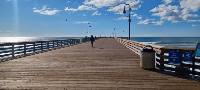
In 2016, the Pismo Beach City Council directed a full reconstruction of the pier. Construction began in 2017 and included upgrading the existing timber pilings with steel pilings and replacing the timber braces, decking and handrails. The water and electrical system was also upgraded. The project was completed ahead of schedule and the pier was reopened to the public on October 20, 2018.
Topics. This historical marker is listed in this topic list: Landmarks. A significant historical month for this entry is January 1904.
Location. 35° 8.293′ N, 120° 38.684′ W. Marker is in Pismo Beach, California, in San Luis Obispo County. Marker is on Pomeroy Ave, on the right when traveling south. Located on Pismo Beach Pier near Pismo Beach Pier Plaza. Touch for map. Marker is at or near this postal address: 100 Pomeroy Ave, Pismo Beach CA 93449, United States of America. Touch for directions.
Other nearby markers. At least 8 other markers are within 6 miles of this marker, measured as the crow flies. History of Pismo Clams in California (within shouting distance of this marker); Pismo Beach Pier Plaza (about 600 feet away, measured in a direct line); Dr. Rudolf W. Gerber Memorial Park (approx. 2.9 miles away); Southern Pacific Railroad Depot (approx. 2.9 miles away); Oceano Depot (approx. 3 miles away); Oceano Honor Roll (approx. 3 miles away); Pacific Coast Railway Right-Of-Way / A Terrible Tragedy (approx. 4 miles away); Pier Into The Past (approx. 6.1 miles away). Touch for a list and map of all markers in Pismo Beach.
Credits. This page was last revised on November 24, 2023. It was originally submitted on June 8, 2023, by Denise Boose of Tehachapi, California. This page has been viewed 480 times since then and 186 times this year. Photos: 1, 2, 3, 4, 5. submitted on June 8, 2023, by Denise Boose of Tehachapi, California. • Bill Pfingsten was the editor who published this page.
