Broken Arrow in Tulsa County, Oklahoma — The American South (West South Central)
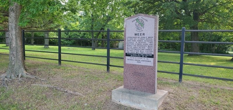
Weer
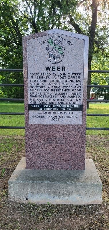
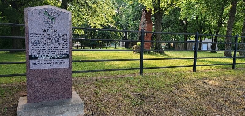
Established by John E. Weer in 1885-87. A post office, 1894-1906, three general stores, a school, two doctors, a drug store and nearly 100 residents made up the early village. Weer was postmaster and farmed. He ran a saw mill, cotton gin, grist mill and a store. On this site was W.J. "Doc" Darnell's drug store and doctor's office 1902-1907.
(BA 100 Yr. History, pg. 56)
Broken Arrow Centennial 2002
Erected 2002 by City of Broken Arrow.
Topics. This historical marker is listed in this topic list: Settlements & Settlers. A significant historical year for this entry is 1885.
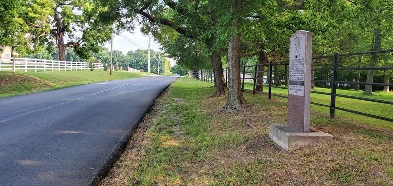
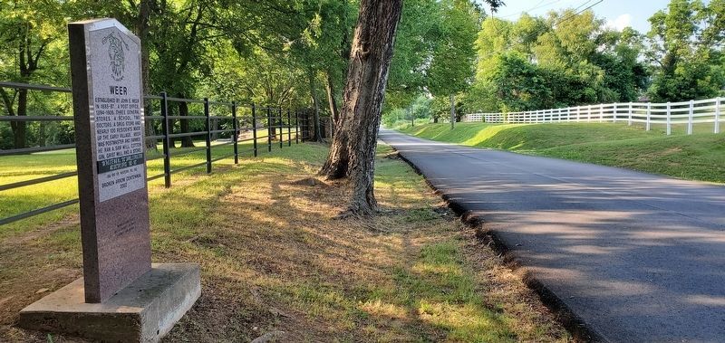
Location. 35° 58.792′ N, 95° 46.236′ W. Marker is in Broken Arrow, Oklahoma, in Tulsa County. Marker is on South 185th East Avenue, on the right when traveling south. The marker is located approximately 285 feet north of the intersection of South 185th East Avenue and East 127th Street South. Touch for map. Touch for directions.
Other nearby markers. At least 8 other markers are within 5 miles of this marker, measured as the crow flies. City Water Spring (approx. one mile away); Camp Russell (approx. 2.7 miles away); Old Cattle Trail (approx. 3.1 miles away); Elam (approx. 3.2 miles away); White Church (approx. 3˝ miles away); Katy Railroad Depot (approx. 4.9 miles away); Civilian Conservation Corps (approx. 4.9 miles away); Kentucky Colonel Hotel (approx. 4.9 miles away). Touch for a list and map of all markers in Broken Arrow.
Credits. This page was last revised on June 9, 2023. It was originally submitted on June 8, 2023, by Andrew Foreman of Broken Arrow, Oklahoma. This page has been viewed 102 times since then and 36 times this year. Photos: 1, 2, 3, 4. submitted on June 8, 2023, by Andrew Foreman of Broken Arrow, Oklahoma. 5. submitted on June 9, 2023, by Andrew Foreman of Broken Arrow, Oklahoma. • J. Makali Bruton was the editor who published this page.
