Broken Arrow in Tulsa County, Oklahoma — The American South (West South Central)
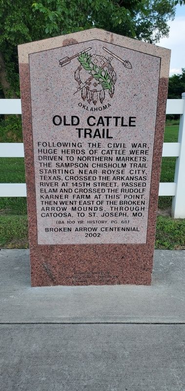
Old Cattle Trail
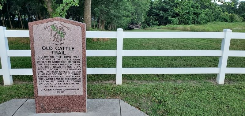
Following the Civil War, huge herds of cattle were driven to northern markets. The Sampson Chisholm Trail starting near Royse City, Texas, crossed the Arkansas River at 145th Street, passed Elam and crossed the Rudolf Karner Farm at this point, then went east of the Broken Arrow Mounds, through Catoosa, to St. Joseph, MO.
(BA 100 Yr. History, pg. 68)
Broken Arrow Centennial 2002
Erected 2002.
Topics. This historical marker is listed in this topic list: Industry & Commerce.
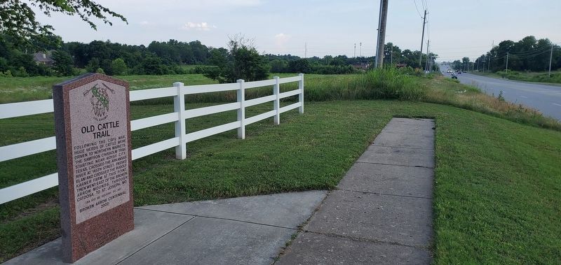
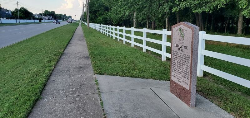
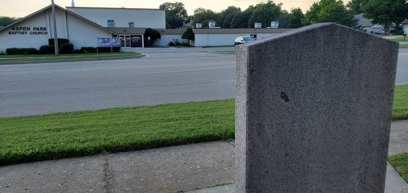
Location. 36° 0.397′ N, 95° 48.905′ W. Marker is in Broken Arrow, Oklahoma, in Tulsa County. Marker is on South Aspen Avenue, on the right when traveling north. The marker is located immediately across the street from Aspen Park Baptist Church. Touch for map. Touch for directions.
Other nearby markers. At least 8 other markers are within 4 miles of this marker, measured as the crow flies. Elam (approx. 0.4 miles away); White Church (approx. 1.8 miles away); City Water Spring (approx. 2.2 miles away); Weer (approx. 3.1 miles away); Katy Railroad Depot (approx. 3.2 miles away); Kentucky Colonel Hotel (approx. 3.2 miles away); 302 Brown-Kimbrough Center for Arts, Innovation & Creativity (approx. 3.3 miles away); Camp Russell (approx. 3.3 miles away). Touch for a list and map of all markers in Broken Arrow.
Credits. This page was last revised on June 8, 2023. It was originally submitted on June 8, 2023, by Andrew Foreman of Broken Arrow, Oklahoma. This page has been viewed 122 times since then and 49 times this year. Photos: 1, 2, 3, 4, 5. submitted on June 8, 2023, by Andrew Foreman of Broken Arrow, Oklahoma. • J. Makali Bruton was the editor who published this page.
