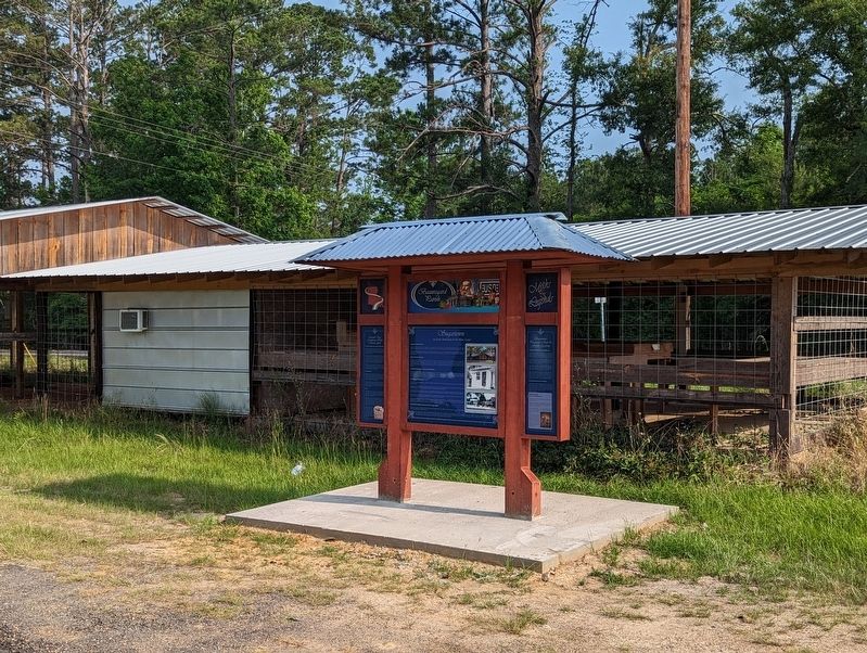
Sugartown in DeRidder in Beauregard Parish, Louisiana — The American South (West South Central)
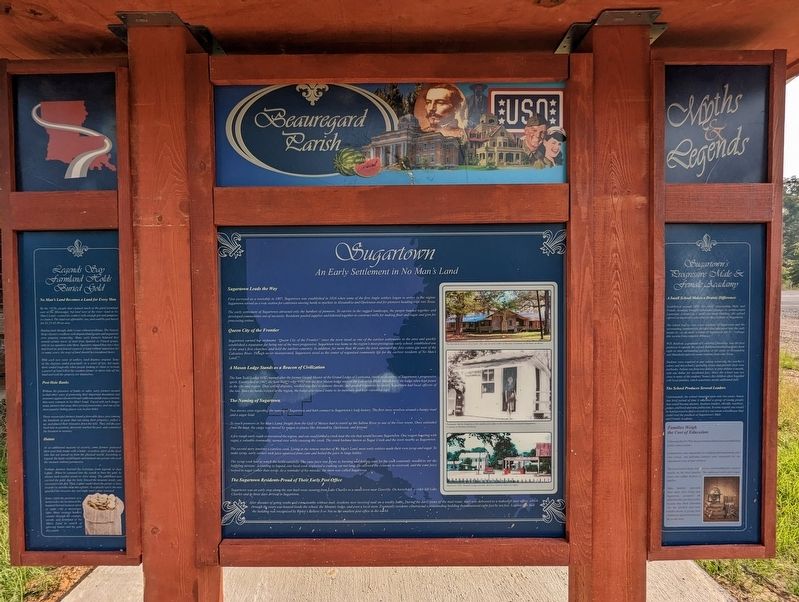
Sugartown
An Early Settlement in No Man's Land
— Louisiana Myths and Legends Byway - Beauregard Parish —
Sugartown Leads the Way
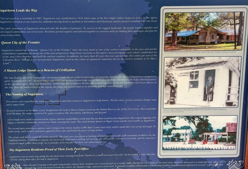
First surveyed as a township in 1807, Sugartown was established in 1816 when some of the first Anglo settlers began to arrive in the region. Sugartown served as a way station for cattlemen moving herds to markets in Alexandria and Opelousas and for pioneers heading west into Texas.
The early settlement of Sugartown attracted only the hardiest of pioneers. To survive in the rugged landscape, the people banded together and developed communities out of necessity. Residents pooled supplies and labored together to construct mills for making flour and sugar and gins for processing cotton.
Queen City of the Frontier
Sugartown earned her nickname "Queen City of the Frontier" since the town stood as one of the earliest settlements in the area and quickly established a reputation for being one of the most progressive. Sugartown was home to the region's most prestigious early school, established one of the area's first churches, and held the earliest cemetery. In addition, for more than 40 years the town operated the first cotton gin west of the Calcasieu River. Though never incorporated, Sugartown stood as the center of organized community life for the earliest residents of No Man's Land
A Mason Lodge Stands as a Beacon of Civilization
The Sam Todd Lodge #182, named after the former Grand Master of the Grand Lodge of Louisiana, stood as a symbol of Sugartown's progressive spirit. Established in 1867, the Sam Todd Lodge #182 was the first Mason lodge west of the Calcasieu River Members of the lodge often kept peace in the city and region. They settled disputes, worked together to remove threats, and pooled resources to ensure Sugartown had local officers of the law. Since no banks existed in the region, the lodge also issued loans to its members and kept valuables safe.
The Naming of Sugartown
Two stories exist regarding the naming of Sugartown and both connect to Sugartown's long history. The first story revolves around a bumpy road and a sugar load.
To reach pioneers in No Man's Land, freight from the Gulf of Mexico had to travel up the Sabine River to one of the river towns. Once unloaded from the boat, the cargo was moved by wagon to places like Alexandria, Opelousas, and beyond.
A few rough early roads crisscrossed the region, and one road forded a creek near the site that would become Sugartown. One wagon bursting with sugar, a valuable commodity, turned over while crossing the creek. The creek became known as Sugar Creek and the town nearby as Sugartown.
The second story involves a careless cook. Living in the remote reaches of Mo Man's Land, most early settlers made their own syrup and sugar. To make syrup, early settlers took juice squeezed from cane and boiled the juice in large kettles.
The syrup cook had to watch the kettle carefully. The cane juice was prone to burning and boiling over, so the cook constantly needed to stir the bubbling mixture. According to legend, one local cook neglected a cooking vat too long. He allowed the contents to overcook, and the cane juice turned to sugar rather than syrup. As a reminder of his mistake, the town was called Sugartown.
The Sugartown Residents-Proud of Their Early Post Office
Sugartown was an early stop along the star mail route running from Lake Charles to a small town near Leesville. On horseback, a rider left Lake Charles and in three days arrived in Sugartown.
After decades of going weeks and even months without mail, residents now received mail on a weekly basis. During the early years of the mail route, mail was delivered to a makeshift post office, which through the years was housed inside the school, the Masonic lodge, and even a local store. Eventually residents constructed a freestanding building that measured eight feet by ten feet. Legends says that the building was recognized by Ripley's Believe It or Not as the smallest post office in the world.
Sugartown's Progressive Male & Female Acadamy
A Small School Makes a Drastic Difference
Established around 1870, the small, unassuming Male and Female Academy brought substantial changes to southwestern Louisiana. Located in a small one-room building, the school offered an impressive education for the children of Sugartown.
The school had its start when residents of Sugartown and the surrounding communities decided that education was the only means to as an early resident of Sugartown put it "salvage this section from complete illiteracy.
W.H. Baldwin, a graduate of Columbia University, was the first professor to operate the school. Baldwin recruited students from eight or nine surrounding parishes as far away as Alexandria and Mansfield and even some students from east Texas.
Students were required to pay tuition (covering the teacher's salary and the school's operating costs) and provide their own textbooks. Tuition ran from two dollars to four dollars a month, with one dollar for incidental fees. Since the school was not close to many of the students' homes, the children often boarded with local families, which sometimes meant additional fees.
The School Produces Several Leaders
Unfortunately, the school remained open only two years, but in that brief period of time it educated a group of young people that would become doctors, business leaders, sheriffs, teachers, judges, and local and state politicians. In some regard, one would be hard pressed to find a record of a one-room schoolhouse that could rival the products of Sugartown's Male and Female Academy.
Families Weigh the Cost of Education
Following the Civil War, the government did not have an established public school system. Communities were responsible for building and maintaining their own schools, and individual families were responsible for the educational costs of their children. The cost of school shoes, book, tuition, and boarding fees weighed heavily on the rural families. The additional work and longer hours also added burdens to families. Many families, especially those early ones living near Sugartown, accepted the added trouble, if at all possible, because they knew education was, the quickest and most reliable means of giving their children an opportunity beyond life on the farm.
No Man's Land Becomes a Land for Every Man
By the 1870s, people had claimed much of the good farmland east of the Mississippi, but land west of the river-land in No Man's Land waited for settlers with enough gut and gumption to claim it. The land was affordable, too, and could be purchased for $1.25-$5.00 an acre.
Buying land, though, didn't come without problems. The Neutral Strip's history overflows with disputed land grants and arguments over property ownership. Many early farmers believed they owned certain tracts of land from Spanish or French grants, only to see squatters take them. Squatters argued that since they had lived on and fenced a parcel of land without opposition for so many years, the tract of land should be considered theirs.
With each new wave of settlers, land disputes erupted. Some of the disputes ended peacefully in a court of law, but many more ended tragically when people looking to claim or reclaim a parcel of land killed the resident farmer or drove him off the land and took the property for themselves.
Post Hole Banks
Without the presence of banks or safes, early farmers needed to find other ways of protecting their important documents and treasures against the most brutal cutthroats and devious criminals that were common in No Man's Land. Faced with such danger, many farmers hid away their prized possessions, and one of the most popular hiding places was in post holes.
These resourceful farmers found a favorable fence post (among the hundreds of posts that ran along their property), pulled it up, and placed their treasures down the hole. They slid the post back into its position, discreetly marked the post, and committed the location to memory.
Haints
As an additional measure of security, some farmers protected their post hole banks with a haint-a restless spirit of the dead who has not moved on from the physical world. According to legend, the haint would haunt and torment any person who took the treasure without permission.
Perhaps farmers learned the technique from legends of Jean Lafitte. When he ventured into the woods to bury his gold, he always took another pirate or slave along. The additional man carried the gold, dug the hole, placed the treasure inside, and covered it with dirt. Then, Lafitte would shoot the pirate or slave in order to turn the man into a haint. As a ghostly spirit, the man guarded the treasure day and night until Lafitte returned.
Some claim the presence of a haint makes the location of the haunted buried treasure glow at night with a mysterious light. Many treasure hunters wander through the swamps, woods, and farmland of No Man's Land in search of glowing haints and the gold they mark.
Erected by State of Louisiana. (Marker Number 10.)
Topics and series. This historical marker is listed in this topic list: Settlements & Settlers. In addition, it is included in the Louisiana Myths & Legends Byway series list.
Location. 30° 50.386′ N, 93° 0.905′ W. Marker is in DeRidder, Louisiana, in Beauregard Parish. It is in Sugartown. Marker is at the intersection of Route 113 and Route 112 on Route 113. Touch for map. Marker is in this post office area: Sugartown LA 70662, United States of America. Touch for directions.
Other nearby markers. At least 8 other markers are within 10 miles of this marker, measured as the crow flies. Old Camp Ground Cemetery (approx. 1˝ miles away); Old Campground (approx. 1˝ miles away); Talbert-Pierson Cemetery (approx. 4.1 miles away); Gravehouses of Talbert-Pierson Cemetery (approx. 4.1 miles away); Life in a Logging Camp (approx. 4.3 miles away); Religion in the Neutral Strip (approx. 8.1 miles away); Old Confederate Military Road (approx. 9 miles away); Shady Grove School/Community Building (approx. 9.8 miles away). Touch for a list and map of all markers in DeRidder.
More about this marker. Located at the Sugartown Watermelon Stand.
Credits. This page was last revised on June 15, 2023. It was originally submitted on June 11, 2023, by Cajun Scrambler of Assumption, Louisiana. This page has been viewed 171 times since then and 62 times this year. Photos: 1, 2, 3, 4, 5. submitted on June 11, 2023, by Cajun Scrambler of Assumption, Louisiana.
