Tulsa in Tulsa County, Oklahoma — The American South (West South Central)
Tulsa Commercial Airport
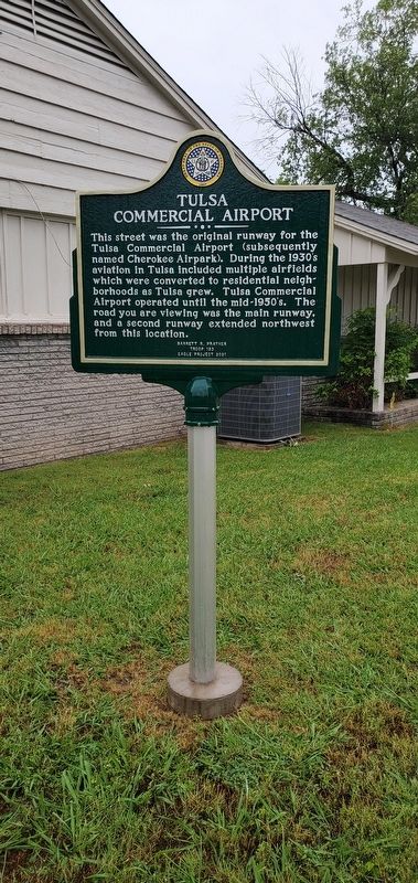
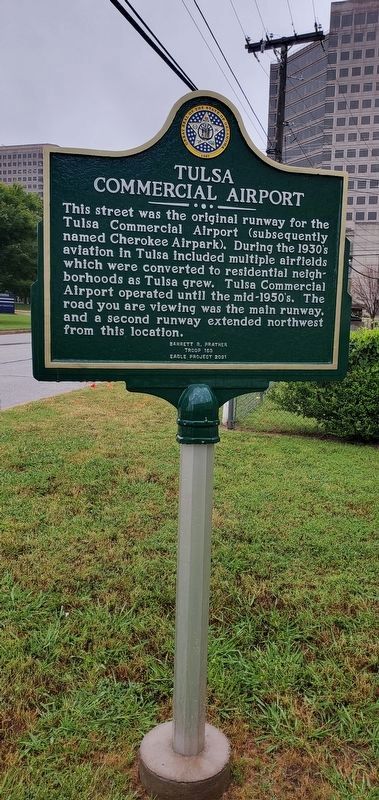
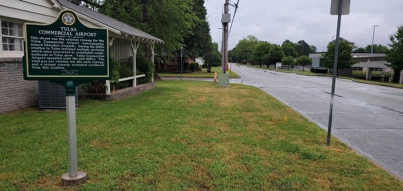
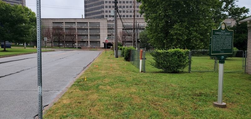
This street was the original runway for the Tulsa Commercial Airport (subsequently named Cherokee Airpark). During the 1930's aviation in Tulsa included multiple airfields which were converted to residential neighborhoods as Tulsa grew. Tulsa Commercial Airport operated until the mid-1950's. The road you are viewing was the main runway, and a second runway extended northwest from this location.
Barrett R. Prather
Troop 153
Eagle Project 2021
Erected 2021 by Barrett R. Prather Eagle Project for Troop 153, Boy Scouts of America.
Topics. This historical marker is listed in this topic list: Air & Space.
Location. 36° 4.555′ N, 95° 55.511′ W. Marker is in Tulsa, Oklahoma, in Tulsa County. Marker is on South Urbana Avenue, on the left when traveling north. Touch for map. Marker is at or near this postal address: 4370 East 60th Place, Tulsa OK 74135, United States of America. Touch for directions.
Other nearby markers. At least 8 other markers are within 4 miles of this marker, measured as the crow flies. The University of Oklahoma Schusterman Learning Center (approx. 1.7 miles away); David L. Boren Boulevard (approx. 1.7 miles away); Schusterman Center Clinic (approx. 1.8 miles away); University of Oklahoma Schusterman Center (approx. 1.8 miles away); Tulsa Oklahoma World War Memorial (approx. 2.6 miles away); Tulsa's First Post Office (approx. 3.1 miles away); Perryman Cemetery (approx. 3.7 miles away); International Petroleum Exposition (approx. 4 miles away). Touch for a list and map of all markers in Tulsa.
Credits. This page was last revised on June 14, 2023. It was originally submitted on June 12, 2023, by Andrew Foreman of Broken Arrow, Oklahoma. This page has been viewed 306 times since then and 53 times this year. Photos: 1, 2, 3, 4. submitted on June 12, 2023, by Andrew Foreman of Broken Arrow, Oklahoma. • J. Makali Bruton was the editor who published this page.


