Rosenberg in Fort Bend County, Texas — The American South (West South Central)
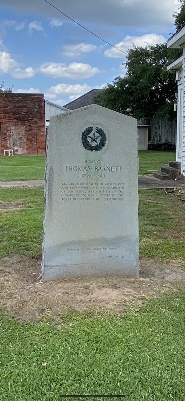
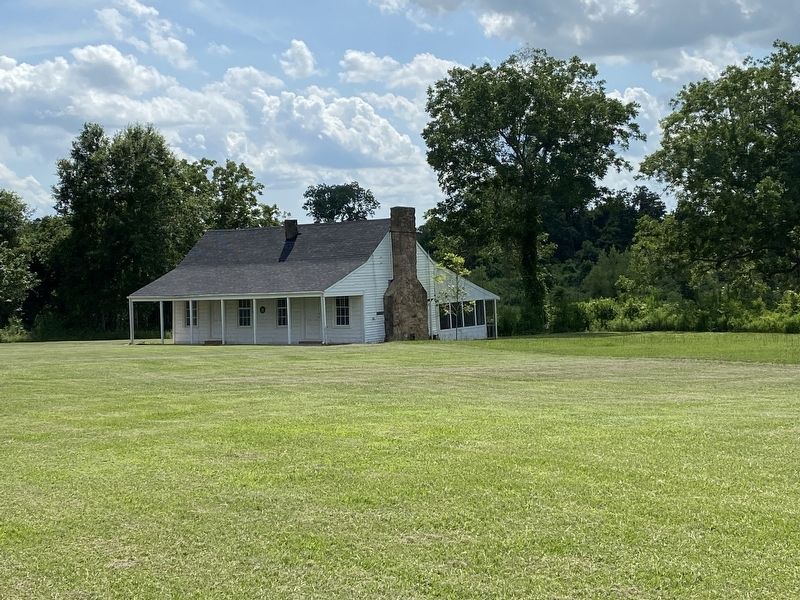
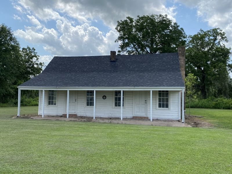
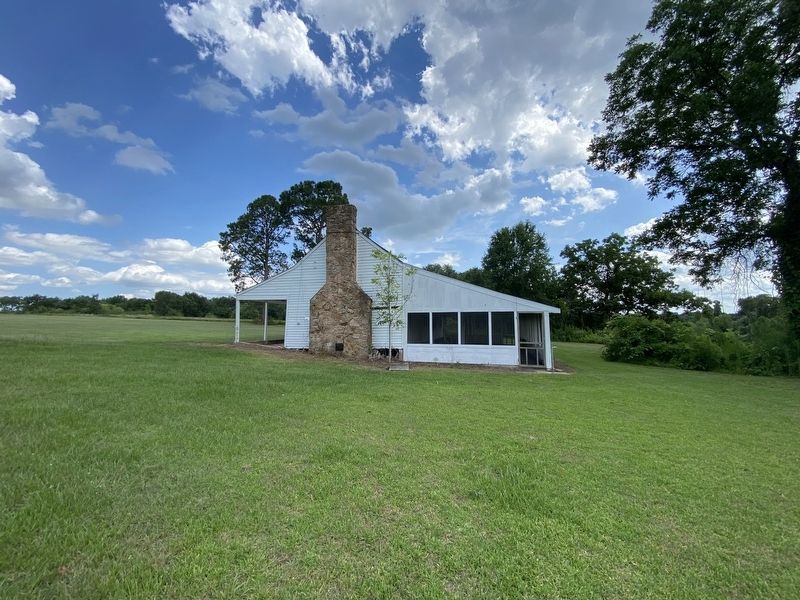
Home of Thomas Barnett
1798-1843
and 1829 • President, Ayuntamiento
of San Felipe, 1833 Member of the
Consultation, 1835 • Signer of the
Texas Declaration of Independence
Erected 1936 by State of Texas. (Marker Number 8968.)
Topics and series. This historical marker is listed in these topic lists: Architecture • Settlements & Settlers • War, Texas Independence. In addition, it is included in the Texas 1936 Centennial Markers and Monuments series list. A significant historical year for this entry is 1827.
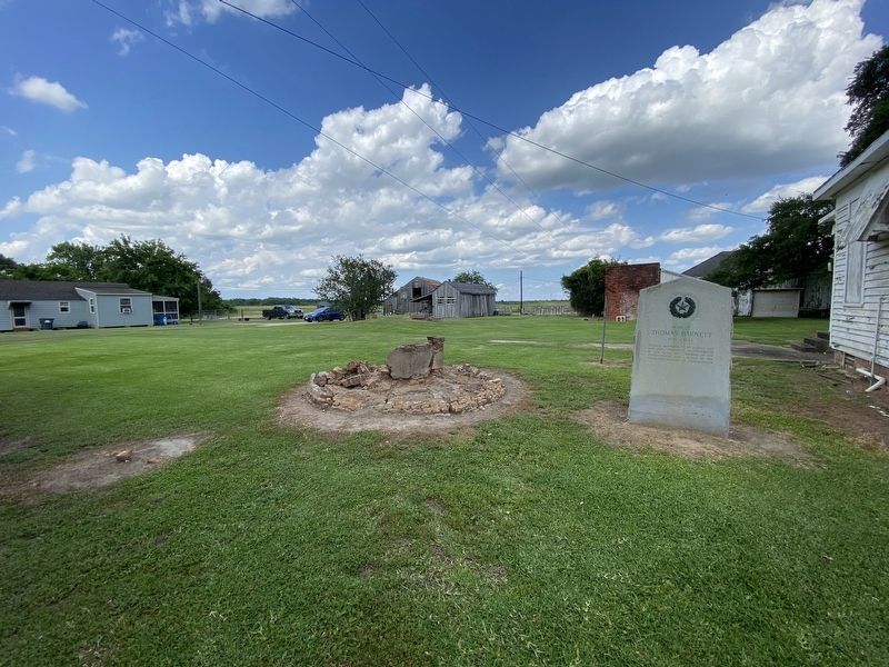
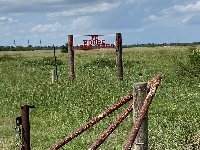
Location. 29° 35.678′ N, 95° 52.627′ W. Marker is in Rosenberg, Texas, in Fort Bend County. Marker can be reached from Dyer Moore Ranch Road, 1.3 miles north of Hwy 36. About 5 miles outside of Rosenberg, pass the Frito Lay facility, the most immediate gravel road after the Frito Lay facility on the right is Dyer Moore Ranch Road and it is unmarked. Travel down the gravel road and pass a sign marking in the JFD Moore Ranch (1898-1959) and continue along the same road. Travel one mile following the main gravel road and it will dead end into the old Thomas Barnett homestead. This home and marker are located on private property. Permission must be granted before visiting. Touch for map. Marker is in this post office area: Rosenberg TX 77471, United States of America. Touch for directions.
Other nearby markers. At least 8 other markers are within 5 miles of this marker, measured as the crow flies. Randon & Pennington Grant of 1824 (approx. 3.2 miles away); Pleasant Hill Cemetery (approx. 4.2 miles away); Rosenberg Cemetery (approx. 4.4 miles away); Foster Community (approx. 4.4 miles away); Macario García (approx. 4½ miles away); John Foster Land Grant (approx. 4½ miles away); John Foster (approx. 4.6 miles away); Randolph Foster (approx. 4.6 miles away). Touch for a list and map of all markers in Rosenberg.
Also see . . . Thomas Barnett House. This site includes photos and more details about the house. (Submitted on June 13, 2023, by Madeleine Schimmer of Richmond, Texas.)
Photographed By Madeleine Schimmer, June 10, 2023
6. JFD Moore (1898-1959) sign.
Coming from Rosenberg on Hwy 36, immediately after the Frito Lay facility on the right side of the Hwy is a gravel road, Dyer Moore Ranch Road. There are no street signs to indicate the name or location of the road. Half a mile down the gravel road you will see the red Moore sign on your right. Continue down the gravel road another half mile and the road dead ends into the location. There are private residences near this site and it is best to ask permission to view the marker and the house.
Credits. This page was last revised on June 13, 2023. It was originally submitted on June 13, 2023, by Madeleine Schimmer of Richmond, Texas. This page has been viewed 108 times since then and 37 times this year. Photos: 1, 2, 3, 4, 5, 6. submitted on June 13, 2023, by Madeleine Schimmer of Richmond, Texas. • James Hulse was the editor who published this page.
