Morehead in Rowan County, Kentucky — The American South (East South Central)
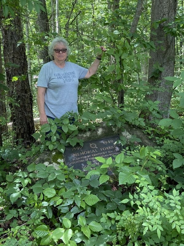
Memorial Forest
1940 DAR Penny Pines Forest
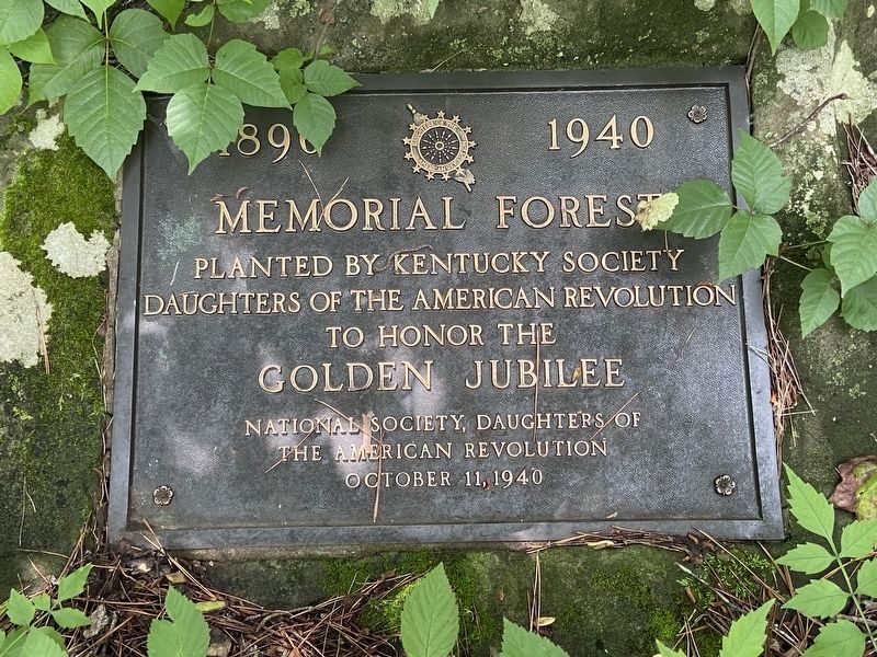
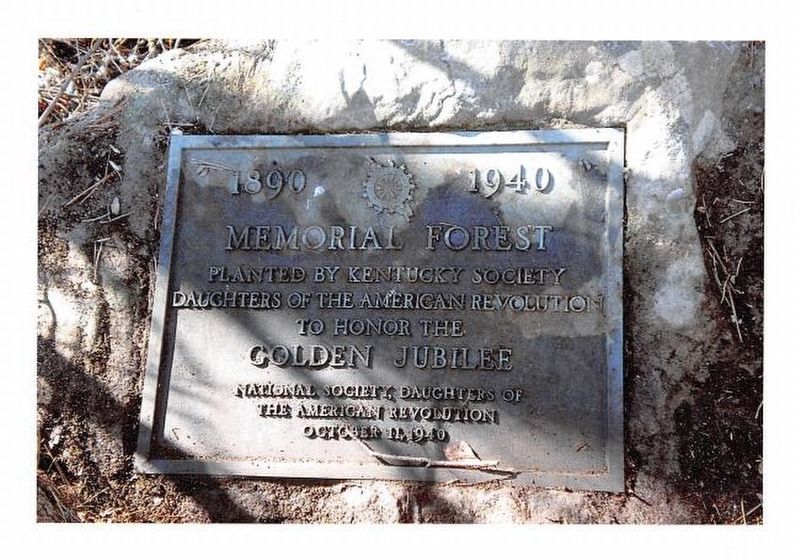
1890 · 1940
Memorial Forest
Planted by Kentucky Society Daughters of the American Revolution to honor the Golden Jubilee
National Society Daughters of the American Revolution
October 11, 1940
Erected 1940 by National Society Daughters of the American Revolution.
Topics and series. This historical marker is listed in these topic lists: Charity & Public Work • Fraternal or Sororal Organizations • Horticulture & Forestry. In addition, it is included in the Daughters of the American Revolution series list.
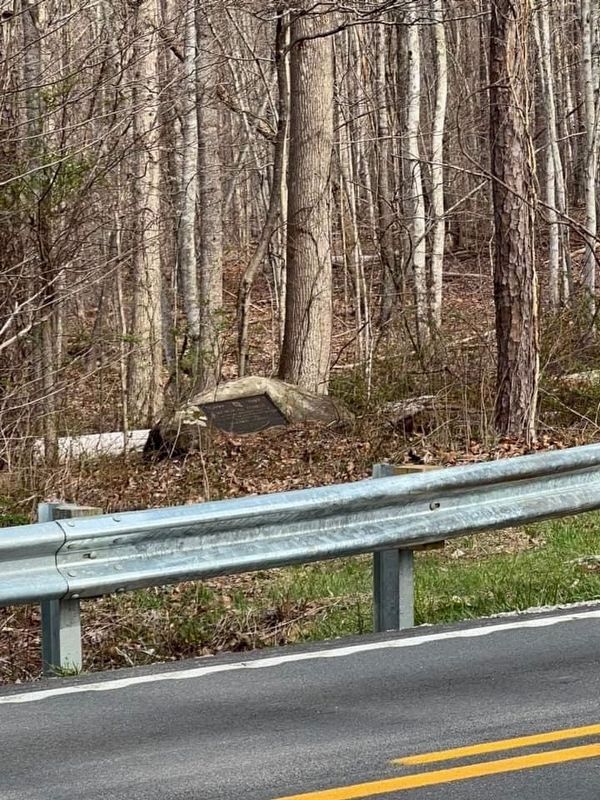
Location. 38° 13.621′ N, 83° 27.892′ W. Marker is in Morehead, Kentucky, in Rowan County. Marker is on Cranston Road (Kentucky Route 377). Touch for map. Marker is in this post office area: Morehead KY 40351, United States of America. Touch for directions.
Other nearby markers. At least 8 other markers are within 4 miles of this marker, measured as the crow flies. University Breckinridge School (approx. 3.2 miles away); The Bluejackets (approx. 3.2 miles away); First Faculty And Staff (approx. 3.2 miles away); Capt. William E. Barber, USMC (approx. 3.2 miles away); First Building And Land (approx. 3.2 miles away); National Register Historic District / Morehead State University (approx. 3.3 miles away); Colonel John Hargis (approx. 3.4 miles away); Quilting Memories (approx. 3.4 miles away). Touch for a list and map of all markers in Morehead.
More about this marker. The Kentucky DAR Memorial Forest is 70-acres located 5 ˝ miles from Morehead in Rowan County in the Cumberland National Forest.
The Forest was dedicated on October 11, 1940 by State Regent Mrs. Frederick A. Wallis with the placement of a bronze marker. Three thousand seven hundred trees, plus shrubs, perennials, and bulbs, were planted. In 2010, the forest became part of the Daniel Boone National Forest and is managed by the United States Forest Service.
Also see . . . Kentucky DAR Forest Marker Restored. Daughters of the American Revolution Newsletter September October 2010 Pg 402-403
Kentucky DAR Forest Marker Restored(Submitted on June 15, 2023, by Carolyn Sanders of Plano, Texas.)
A rededication ceremony was held May 29, 2010, to recognize the newly restored marker at the Kentucky DAR Memorial Forest in Rowan County, Ky. State Regent Sharon Withers (2007-2010). then-State Regent-Elect Jessie Anne Wells, State Chaplain Madeline Moore-Smith, State Corresponding Secretary Donna Hughes, State Treasurer Martha King and State Conservation Chairman Betsy Kuster conducted the ceremony and unveiled the plaque to an enthusiastic audience of Daughters, S.A.R. members, C.A.R. members and guests.
The Kentucky DAR Memorial Forest, located just off Cranston Road 5 1/2 miles from Morehead, Ky., was first dedicated on October II, 1940, by State Regent Mrs. Frederick Wallis as part of a nationwide forest planting to honor the Golden Jubilee of NSDAR. Kentucky planted 3,700 pine trees, plus shrubs, bulbs and perennials at the site, then part of the Cumberland National Forest and now the Daniel Boone National Forest. A bronze tablet marker was set on a moss-covered boulder at the site. Forest service maps refer to this area as the DAR Plantation.
The marker was located in response to National Conservation Chairman Liz Hotchkiss' effort to commemorate the 100th anniversary of the forming of the DAR Conservation Committee. The weathered tablet was refurbished to its original patina.
Additional commentary.
1.
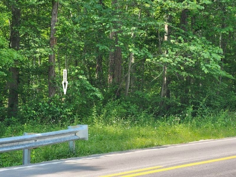
Posted coordinates are within 10-15 ft of the marker just outside the tree canopy where you get the best GPS signal. Caution watch for poison ivy and snakes area is over grown and not maintained on a regular bases. According to nearby land owner there are plans to create a pull off for the marker in the future.
— Submitted December 1, 2023, by Carolyn Sanders of Plano, Texas.
Credits. This page was last revised on December 1, 2023. It was originally submitted on March 8, 2023. This page has been viewed 178 times since then and 47 times this year. Last updated on June 18, 2023. Photos: 1. submitted on December 1, 2023, by Carolyn Sanders of Plano, Texas. 2. submitted on March 8, 2023. 3. submitted on June 15, 2023, by Carolyn Sanders of Plano, Texas. 4, 5. submitted on December 1, 2023, by Carolyn Sanders of Plano, Texas. • J. Makali Bruton was the editor who published this page.
