Oaktown in Knox County, Indiana — The American Midwest (Great Lakes)
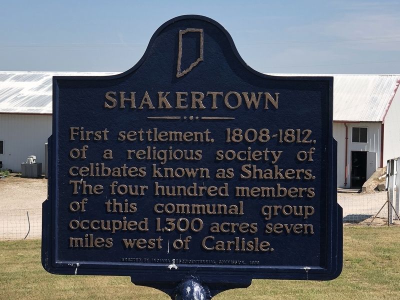
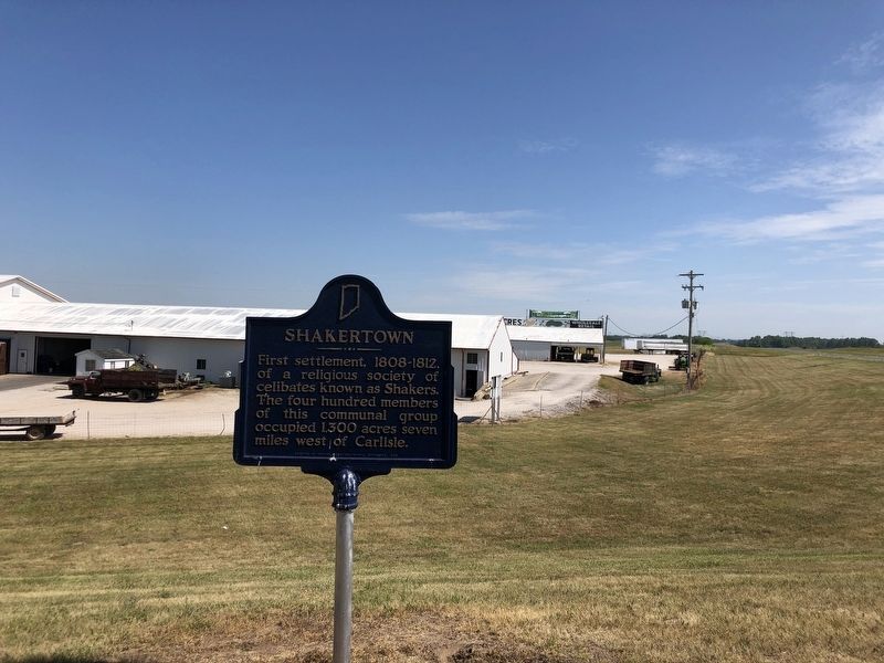
Shakertown
Erected by Indiana Sesquicentennial Commission.
Topics and series. This historical marker is listed in these topic lists: Churches & Religion • Settlements & Settlers. In addition, it is included in the Communal and Utopian Societies series list. A significant historical year for this entry is 1808.
Location. 38° 53.517′ N, 87° 26.537′ W. Marker is in Oaktown, Indiana, in Knox County. Marker is at the intersection of U.S. 41 and East Gauger Road, on the right when traveling south on U.S. 41. Touch for map. Marker is at or near this postal address: 5388 E Gauger Rd, Oaktown IN 47561, United States of America. Touch for directions.
Other nearby markers. At least 8 other markers are within 12 miles of this marker, measured as the crow flies. Westernmost Naval Battle of the Revolution (approx. 4.8 miles away); Fort LaMotte (approx. 11.4 miles away in Illinois); Kitchell Grist Mill (approx. 11.6 miles away in Illinois); Cullom Homestead (approx. 11.8 miles away in Illinois); Dubois Tavern (approx. 11.8 miles away in Illinois); Houston - Dickson Store (approx. 11.9 miles away in Illinois); Auntie Gogin's Store (approx. 11.9 miles away in Illinois); The Fife Opera House (approx. 11.9 miles away in Illinois).
Regarding Shakertown. The Shaker community was located on Busseron Creek approximately three miles due west from the marker. It was officially identified as West Union but was known by its inhabitants as Busro, after the creek. The settlement was plagued by war, floods, earthquakes and disease throughout its existence, leading to its abandonment in the spring of 1827.
Also see . . . West Union (Busro), Indiana. Wikipedia entry on the short-lived Shaker community along Busseron Creek. (Submitted on June 19, 2023, by Duane and Tracy Marsteller of Murfreesboro, Tennessee.)
Credits. This page was last revised on June 19, 2023. It was originally submitted on June 19, 2023, by Duane and Tracy Marsteller of Murfreesboro, Tennessee. This page has been viewed 95 times since then and 30 times this year. Photos: 1, 2. submitted on June 19, 2023, by Duane and Tracy Marsteller of Murfreesboro, Tennessee.

