Lower East Side in Manhattan in New York County, New York — The American Northeast (Mid-Atlantic)
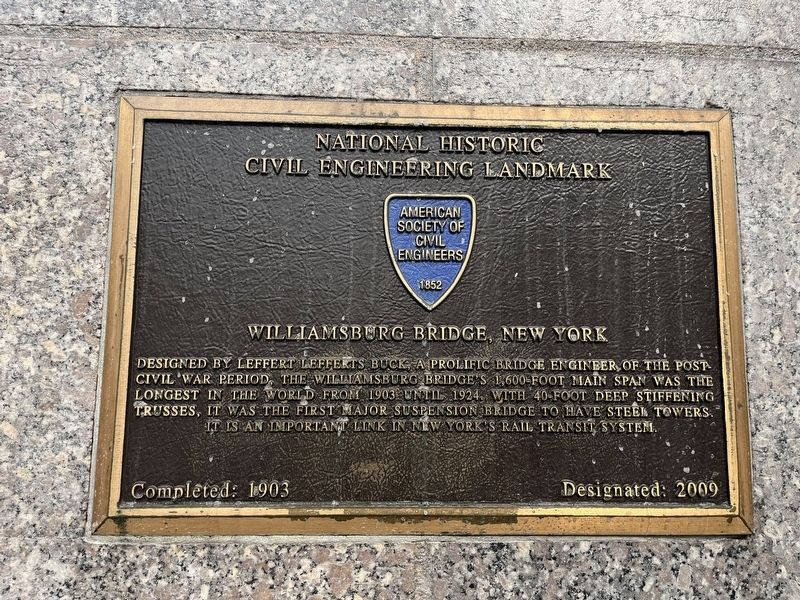
Williamsburg Bridge, New York
Completed: 1903
Designated: 2009
— National Historic Civil Engineering Landmark —
Erected 2009 by American Society of Civil Engineers.
Topics and series. This historical marker is listed in these topic lists: Architecture • Bridges & Viaducts • Railroads & Streetcars. In addition, it is included in the ASCE Civil Engineering Landmarks series list. A significant historical year for this entry is 1903.
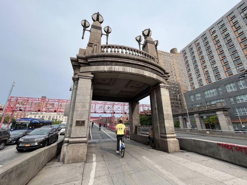
Location. 40° 43.062′ N, 73° 59.134′ W. Marker is in Manhattan, New York, in New York County. It is in the Lower East Side. Marker is at the intersection of Delancey Street and Clinton Street, in the median on Delancey Street. The marker hangs on the northwestern (Manhattan) end of the Williamsburg Bridge. Touch for map. Marker is at or near this postal address: 168 Clinton St, New York NY 10002, United States of America. Touch for directions.
Other nearby markers. At least 8 other markers are within walking distance of this marker. B’nai B’rith (approx. 0.2 miles away); Henry Street Settlement and Neighborhood Playhouse (approx. 0.2 miles away); Our Lady of Sorrow World War II Memorial (approx. 0.2 miles away); Luther Gulick Playground (approx. ¼ mile away); Orchard Street (approx. ¼ mile away); 97 Orchard Street (approx. ¼ mile away); No Gold? No Dinosaurs? No Long Forgotten Tomb? (approx. ¼ mile away); Henry Street Settlement (approx. ¼ mile away). Touch for a list and map of all markers in Manhattan.
Credits. This page was last revised on June 19, 2023. It was originally submitted on June 19, 2023, by Devry Becker Jones of Washington, District of Columbia. This page has been viewed 55 times since then and 15 times this year. Photos: 1, 2. submitted on June 19, 2023, by Devry Becker Jones of Washington, District of Columbia.

