Menands in Albany County, New York — The American Northeast (Mid-Atlantic)
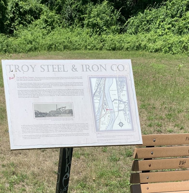
Troy Steel & Iron Co.
This was once the site of Troy Steel and Iron Company's blast furnace on Beeaker or Hillhouse Island. This island no longer exists; the tidal waters forming several islands on the west shore of the Hudson River were mostly filled in the 1960's with the construction of Interstate 787.
In the 19th century the Mohawk-Hudson area was a center of iron production and manufacturing. Iron ore, limestone, and wood for charcoal were available nearby in the Hudson River valley and the Adirondacks. Later, Pennsylvania coal replaced charcoal, shipped to the Hudson River at Kingston via the Delaware and Hudson Canal Co. and later its railroad. Products were shipped inexpensively throughout the nation on the Erie and Champlain Canals and the Hudson River, and later by railroad.
Among the leading firms were Eratus Corning’s Albany Iron Works, John A. Griswold’s Rensselaer Iron Works, and the Burden Iron Company – all located across the Hudson River in Troy. The Wynantskill, just across the Hudson River at this site, provided power for the giant Burden Water Wheel at Burden’s Upper Works. At the Lower Works, located on the Hudson River north of the Wynantskill, the Hudson-Mohawk Industrial Gateway’s Burden Iron Works Museum is located in the former office building. The Rensselaer Iron Works was the first American firm to acquire the rights to the Bessemer process for making steel. In 1867, it established its Bessemer Works across the Hudson River on the south side of the Wynantskill.
In 1875, the Albany Iron Works and the Rensselaer Iron Works merged to form the Albany and Rensselaer Iron and Steel Company. In 1885, it changed its name to the Troy Steel and Iron Company. In that year, the company built the Breaker Island Works on this site to supplement its Troy facilities. There were three 80-foot high blast furnaces, a casting-house 150 feet long, a boiler house, an engine house, and other buildings, and 500 feet of dock along the river. Anthracite coal was brought to the Breaker Island Works on a branch from the Delaware and Hudson’s mainline railroad where it crosses Broadway in Menands. Molten iron produced on the site was ferried across the river to the Bessemer Works of the Troy Steel and Iron Company for processing into steel. In 1887 almost 500 tons per day were being produced.
In 1896 the Breaker Island Works were rebuilt to produce steel on site, and the Bessemer Works across the river were closed. Not long after, steel prices fell below production costs, and in 1898 the company ceased operation. The plant was sold to the United States Steel Corporation in 1903 and dismantled in 1917.
(photo) Photo of the Troy Steel & Iron Company “A View of the Blast Furnace Plant and New Office, Breaker Island.” Troy Daily-Times, January 11, 1896 (Courtesy Richard S. Allen)
Topics. This historical marker is listed in this topic list: Industry & Commerce. A significant historical date for this entry is January 11, 1896.
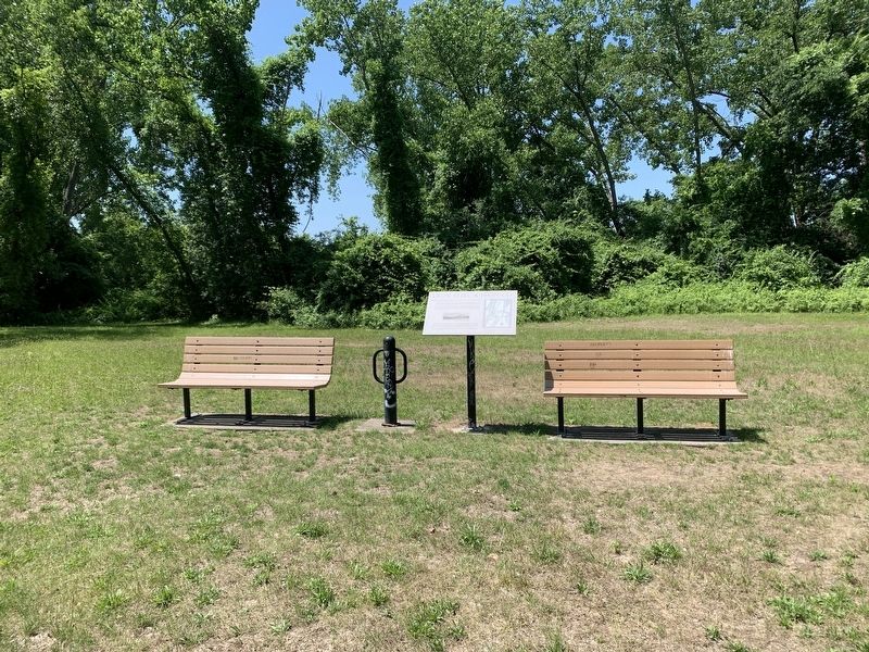
Location. 42° 42.151′ N, 73° 42.32′ W. Marker is in Menands, New York, in Albany County. Marker is on Empire State Trail, on the right when traveling south. Marker is on the Empire State Trail, and not accessible by car. The marker is located approximately one-half mile south of the trailhead at Broadway and Fourth Street in Watervliet. Touch for map. Marker is at or near this postal address: Empire State Trail, Watervliet NY 12189, United States of America. Touch for directions.
Other nearby markers. At least 8 other markers are within 2 miles of this marker, measured as the crow flies. The Erie Canal (approx. 0.4 miles away); Schuyler Flatts (approx. half a mile away); Burden Iron Works (approx. half a mile away); General John J. Pershing (approx. 0.6 miles away); James Roy Mills (approx. 0.6 miles away); Saint Agnes Cemetery (approx. 0.9 miles away); Little Red Schoolhouse (approx. 1.1 miles away); Watervliet Arsenal (approx. 1.3 miles away).
Credits. This page was last revised on June 27, 2023. It was originally submitted on June 19, 2023, by Steve Stoessel of Niskayuna, New York. This page has been viewed 200 times since then and 103 times this year. Photos: 1. submitted on June 19, 2023, by Steve Stoessel of Niskayuna, New York. 2. submitted on June 20, 2023, by Steve Stoessel of Niskayuna, New York. • Michael Herrick was the editor who published this page.

