Near Harrisonville in Monroe County, Illinois — The American Midwest (Great Lakes)
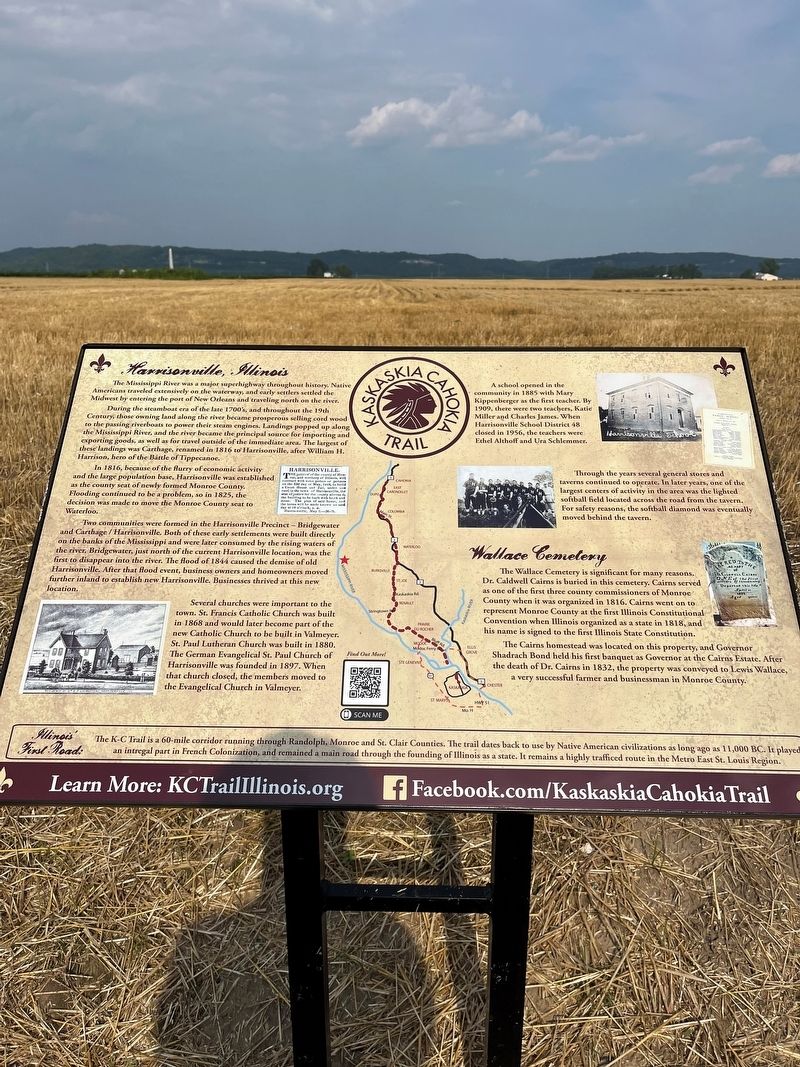
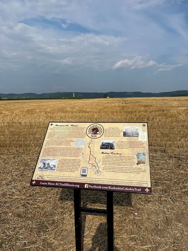
Harrisonville, Illinois
The Mississippi River was a major superhighway throughout history, Native Americans traveled extensively on the waterway, and early settlers settled the Midwest by entering the port of New Orleans and traveling north on the river. During the steamboat era of the late 1700s, and throughout the 19th Century, those owning land along the river became prosperous selling cord wood to the passing riverboats to power their steam engines. Landings popped up along the Mississippi River, and the river became the principal source for importing and exporting goods, as well as for travel outside of the immediate area. The largest of these landings war Carthage, renamed in 1816 to Harrisonville, after William H. Harrison, hero of the Battle of Tippecanoe.
In 1816, because of the flurry of economic activity and the large population base, Harrisonville was established as the county seat of newly formed Monroe County. Flooding continued to be a problem, so in 1825, the decision was made to move the Monroe County seat to Waterloo.
Two communities were formed in the Harrisonville Precinct-Bridgewater and Carthage/Harrisonville. Both of these early settlements were built directly on the banks of the Mississippi and were later consumed by the rising waters of the river, Bridgewater, just north of the current Harrisonville location, was the first to disappear into the river. The flood of 1844 caused the demise of old Harrisonville. After that flood event, business owners and homeowners moved further inland to establish new Harrisonville, Businesses thrived at this new location.
Several churches were important to the town. St. Francis Catholic Church was built in 1868 and would later become part of the new Catholic Church to be built in Valmeyer. St. Paul Lutheran Church was built in 1880.
A school opened in the community in 1885 with Mary Kippenberger as the first teacher. By 1909, there were two teachers, Katie Miller and Charles James. When Harrisonville School District 48 closed in 1956, the teachers were Ethel Althoff and Ura Schlemmer.
Through the years several general stores and taverns continued to operate. In later years, one of the largest centers of activity in the area was the lighted softball field located across the road from the tavern. For safety reasons, the softball diamond was eventually moved behind the tavern. The German Evangelical St. Paul Church of Harrisonville was founded in 1897. When that church closed, the members moved to the Evangelical Church in Valmeyer.
Wallace Cemetery
The Wallace Cemetery is significant for many reasons. Dr. Caldwell Caims is buried in this cemetery. Cairns served as one of the first three county commissioners of Monroe County when it was organized in 1816. Cairns went on to represent Monroe County at the first Illinois Constitutional Convention when Illinois organized as a state in 1818, and his name is signed to the first Illinois State Constitution.
The Cairns homestead was located on this property, and Governor Shadrach Bond held his first banquet as Governor at the Cairns Estate. After the death of Dr. Cairns in 1832, the property was conveyed to Lewis Wallace, a very successful farmer and businessman in Monroe County.
Topics. This historical marker is listed in these topic lists: Government & Politics • Political Subdivisions • Settlements & Settlers. A significant historical year for this entry is 1816.
Location. 38° 17.199′ N, 90° 20.945′ W. Marker is near Harrisonville, Illinois, in Monroe County. Marker is on Walnut Road (State Road 156) half a mile north of Harris Road, on the right when traveling south. Touch for map. Marker is in this post office area: Valmeyer IL 62295, United States of America. Touch for directions.
Other nearby markers. At least 8 other markers are within 5 miles of this marker, measured as the crow flies. Valmeyer, Illinois (approx. 1.9 miles away); The Floarke Pavilion (approx. 2.3 miles away); Salt Lick Point (approx. 2.4 miles away); Welcome to Sulphur Springs Landing (approx. 3.7 miles away in Missouri); Austin-Pitcairn Roadside Park (approx. 4 miles away in Missouri); Valmeyer Community Heritage Society (approx. 4.1 miles away); M102 Howitzer (approx. 4.1 miles away); Louis E. Miller (approx. 4.1 miles away).
Credits. This page was last revised on July 2, 2023. It was originally submitted on June 22, 2023, by Thomas Smith of Waterloo, Ill. This page has been viewed 118 times since then and 51 times this year. Photos: 1, 2. submitted on June 22, 2023, by Thomas Smith of Waterloo, Ill. • Devry Becker Jones was the editor who published this page.

