Munising in Alger County, Michigan — The American Midwest (Great Lakes)
Munising Falls
Yesterday
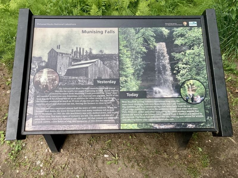
The Schoolcraft Blast Furnace manufactured pig iron at this site for nearly ten years, beginning in 1868. Steam engines powered by water from Munising Creek provided the "blast" (hot air) needed to turn iron ore, limestone, and charcoal into pig iron. Much of the iron was used for railway ties or as an additive for other metals. At its height the furnace produced as much as 35 tons of pig iron per day. But eventually supplies of ore and charcoal ran out, forcing the furnace to close in 1877.
The iron industry employed almost half the town of 1000 residents. When the furnace shut down, the town hit hard times and many residents left to seek work elsewhere. In 1901 the idle machinery was sold, melted down, and recast for other uses. Not many signs of industry are left. The smoke and din of a once busy iron town have vanished into the past. All that remain are some piles of rock rubble, a few flakes of slag, and memories of this distant enterprise.
Today
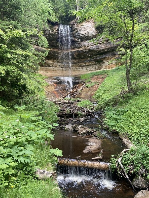
With its job of serving industry operations long over, the water from Munising Falls now flows freely into Lake Superior. The waterfall, fed by a natural spring a few miles back from the top of the ridge, continues to carve the sandstone deeper and wider over time. Pine, hemlock, cedar, and other trees along the creek produce tannins that darken the water to a tea-brown color. Natural foam is frothed and swirled by the current. The forest has reclaimed this site, creating new habitat for wildlife and offering beauty year-round to those who visit.
Erected by Pictured Rocks National Lakeshore, National Park Service, US Department of the interior.
Topics. This historical marker is listed in this topic list: Industry & Commerce. A significant historical year for this entry is 1868.
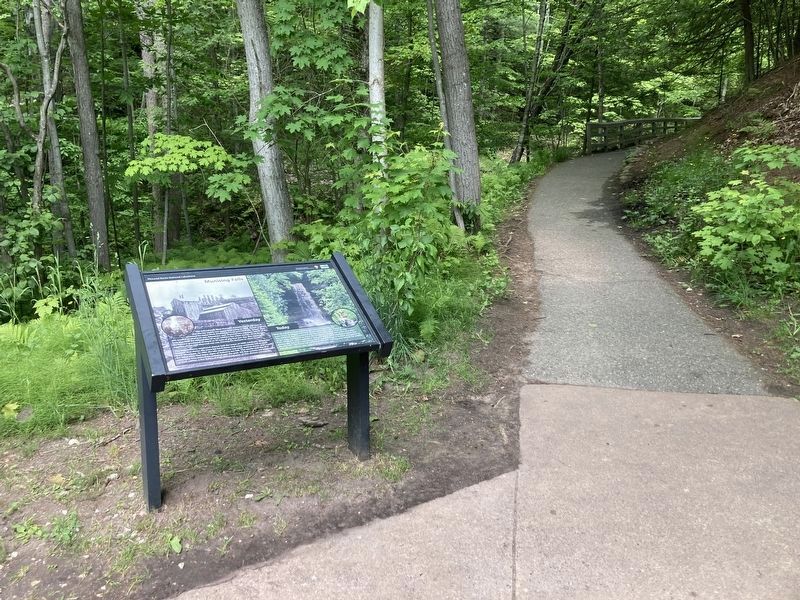
Location. 46° 25.423′ N, 86° 37.421′ W. Marker is in Munising, Michigan, in Alger County. Marker can be reached from Sand Point Road near Washington Street. The marker is located at the Munising Falls trail head. Touch for map. Marker is at or near this postal address: 1505 Sand Point Road, Munising MI 49862, United States of America. Touch for directions.
Other nearby markers. At least 8 other markers are within 6 miles of this marker, measured as the crow flies. Shipwrecks of the Alger Underwater Preserve (approx. 1.6 miles away); Munising Public Dock (approx. 1.6 miles away); Russell A. Alger (approx. 1.9 miles away); U.S. Coast Guard (approx. 2.1 miles away); Location is Everything! (approx. 4.1 miles away); What’s Old? What’s New? (approx. 4.1 miles away); Bay Furnace Ruins (approx. 4.1 miles away); Grand Island View (approx. 5.9 miles away). Touch for a list and map of all markers in Munising.
Credits. This page was last revised on June 24, 2023. It was originally submitted on June 23, 2023, by Connor Olson of Kewaskum, Wisconsin. This page has been viewed 121 times since then and 18 times this year. Photos: 1, 2, 3. submitted on June 23, 2023, by Connor Olson of Kewaskum, Wisconsin. • J. Makali Bruton was the editor who published this page.


