Near Grand Marais in Alger County, Michigan — The American Midwest (Great Lakes)
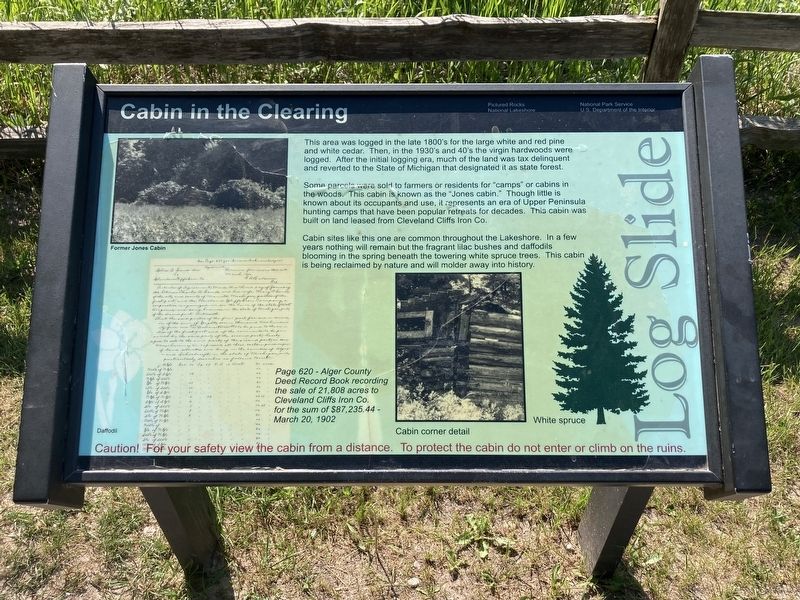
Cabin in the Clearing
Some parcels were sold to farmers or residents for "camps" or cabins in the woods. This cabin is known as the "Jones cabin." Though little is known about its occupants and use, it represents an era of Upper Peninsula hunting camps that have been popular retreats for decades. This cabin was built on land leased from Cleveland Cliffs Iron Co.
Cabin sites like this one are common throughout the Lakeshore. In a few years nothing will remain but the fragrant lilac bushes and daffodils blooming in the spring beneath the towering white spruce trees. This cabin is being reclaimed by nature and will molder away into history.
Page 620 - Alger County Deed Record Book recording the sale of 21,808 acres to Cleveland Cliffs Iron Co. for the sum of $87,235.44 - March 20, 1902
Erected by Pictured Rocks National Lakeshore, National Park Service, US Department of the Interior.
Topics. This historical marker is listed in these topic lists: Horticulture & Forestry • Settlements & Settlers. A significant historical date for this entry is March 20, 1902.
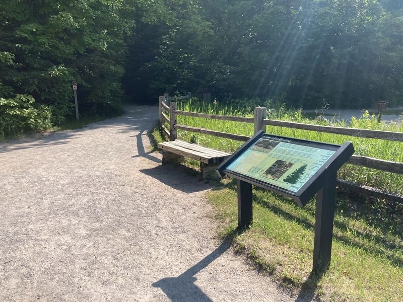
Location. 46° 39.052′ N, 86° 6.623′ W. Marker is near Grand Marais, Michigan, in Alger County. Marker is on Log Slide Road north of County Route H58, on the right when traveling north. Touch for map. Marker is in this post office area: Grand Marais MI 49839, United States of America. Touch for directions.
Other nearby markers. At least 1 other marker is within walking distance of this marker. Tools of the Trade (about 600 feet away, measured in a direct line).
Credits. This page was last revised on June 24, 2023. It was originally submitted on June 23, 2023, by Connor Olson of Kewaskum, Wisconsin. This page has been viewed 88 times since then and 28 times this year. Photos: 1, 2. submitted on June 23, 2023, by Connor Olson of Kewaskum, Wisconsin. • J. Makali Bruton was the editor who published this page.

