Boyle Heights in Los Angeles in Los Angeles County, California — The American West (Pacific Coastal)
Brooklyn Avenue
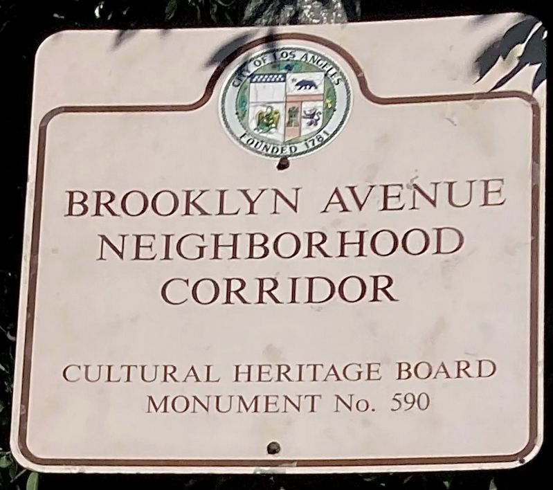
Brooklyn Avenue Neighborhood Corridor, Cultural Heritage Board Monument No. 590, City of Los Angeles.
Erected by City of Los Angeles. (Marker Number 590.)
Topics and series. This historical marker is listed in these topic lists: Notable Places • Settlements & Settlers. In addition, it is included in the Los Angeles Historic-Cultural Monument series list.
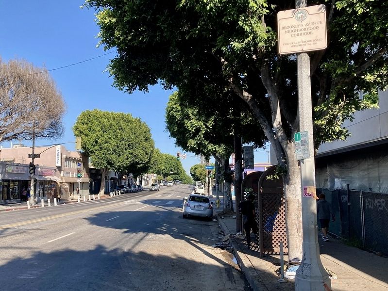
Location. 34° 2.781′ N, 118° 12.412′ W. Marker is in Los Angeles, California, in Los Angeles County. It is in Boyle Heights. Marker is on Cesar Chavez Avenue east of Soto Street, on the right when traveling east. Touch for map. Marker is at or near this postal address: 2428 E Cesar Chavez Ave, Los Angeles CA 90033, United States of America. Touch for directions.
Other nearby markers. At least 8 other markers are within walking distance of this marker. Brooklyn & Soto (about 300 feet away, measured in a direct line); Chicano Arts Movement (about 400 feet away); Otomisan Restaurant (approx. ¼ mile away); Japanese Hospital (approx. ¼ mile away); The Hollenbecks (approx. 0.4 miles away); Japanese-American Soldiers (approx. half a mile away); Hollenbeck Park (approx. 0.6 miles away); Mariachi Plaza (approx. 0.7 miles away). Touch for a list and map of all markers in Los Angeles.
Regarding Brooklyn Avenue. In 1876 a group of Los Angeles investors led by A.H. Judson formed the Brooklyn Land and Building Company. Purchasing 105 acres of hilly land on the city's east side, the investors subdivided the tract the following year and named it Brooklyn Heights, perhaps to attract New Yorkers to the growing City of the Angels. The main street became Brooklyn Avenue, and a small hilltop park in the middle of the subdivision became Prospect Park. Brooklyn Heights eventually lost its name, as the public began to associate the neighborhood with a suburb to its south — Boyle Heights. The city renamed Brooklyn Avenue to honor labor leader Cesar Chavez in 1994, and in the same year declared Brooklyn Avenue Neighborhood Corridor a city Historic-Cultural Monument.
Credits. This page was last revised on June 27, 2023. It was originally submitted on June 27, 2023, by Craig Baker of Sylmar, California. This page has been viewed 132 times since then and 43 times this year. Photos: 1, 2. submitted on June 27, 2023, by Craig Baker of Sylmar, California.

