Valmeyer in Monroe County, Illinois — The American Midwest (Great Lakes)
Valmeyer, Illinois
Kaskaskia-Cahokia Trail
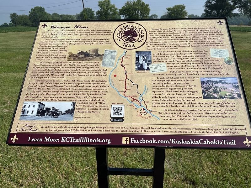
The rich soil and abundant food sources of the American Bottom made this area ripe for development, Native Americans living here could harvest crops, fish and wildlife from the floodplain, while gathering nuts and berries from the neighboring bluffs.
River traffic brought a furry of activity to the area as people traveled to and from the local river landings. With the development of the St. Louis Iron Mountain and Southern Railway through the area during the late 1800's, such of the settlement and economic activity moved further inland. Even before the formal founding of Valmeyer, the railroad had built one track through the area with a second track bring added a few years later.
In the early days of settlement, the east side of town was called Rock City, because of the rocky river bluff in that area. The west side of town was called Frogtown, because it was a very swampy areas, and sometimes called Moredock, because of the lake by the same name. Moredock Lake, names after Indian fighter, John Casper Moredock, was actually a large meander scar of the Mississippi River, that later became a favorite fishing and vacation spot for St. Louis residents, In the early days of settlement, the east side of town was called Rock City, because of the rocky river bluff in that area. The west side of town was called Frogtown, because it was a very swampy areas, and sometimes called Moredock, because of the lake by the same name. Moredock Lake, names after Indian fighter, John Casper Moredock, was actually a large meander scar of the Mississippi River, that later became a favorite fishing and vacation spot for St. Louis residents,
Early immigrants to the area included the Meyer family of Swiss Origin. In April, 1857, Fridolin Meyer and his wife Mary purchased the ground that eventually would become Valmeyer. The railroad brought more people, and with that came the need for services including hotels, restaurants and general stores.
By 1909 there was enough development and population growth to initiate the founding of a village. A plat for incorporation was filed by members of the Meyer family for a new community to be named "Meyer City." After some discussions with the U.S. Postal Service, because of confusion with the already established town of "Miller City," the village was renamed Valmeyer a shortened version of Valley of the Meyers.
Through the years, the Valmeyer area had continued problems with the flooding of the Mississippi River. During the Flood of 1844, Flood water was to deep that steamboats could travel from the Missouri bluff to the Illinois buff In the years that followed farmers would use their primitive equipment to build small levees to protect their property. A series of floods hit the area in 1943. 1964 and 1947, with widespread damage and destruction. The U.S. Army Corps of Engineers agreed to construct a protective levee system along the entire length of the Mississippi River in Monroe County. That construction was completed in 1950 and successfully protected Valmeyer and the American Bottoms of Monroe County in the years that followed.
Valmeyer had businesses of all shapes and sizes that served the village residents along with the surrounding farm community. The village continued to thrive and develop in the years following World War II, as the town's population increased. There was talk of building a great river road through the community along with the possible construction of a Mississippi River bridge that would connect Missouri to Monroe County at Harrisonville.
FEMA enacted several floodplain-related building restrictions in the early 1980's. All new home construction came to a halt.
In early 1993, higher than normal snow melt brought high river levels to the area. Late spring and early summer rains compounded that problem, and by July the river levels were higher than previously experienced. Flood patrol and sandbagging crews worked the area levees on 24-hour shifts. In early August, a levee was overtopped west of Columbia, causing the eventual overtopping of the Fountain Creek levee. Water traveled through Valmeyer and eventually filled the entire 60,000 acre Monroe County River Bottom.
The extent of damage convinced Valmeyer residents to re-establish the village on top of the bluff to the east. Work began on the new community in 1994, and the first residents began moving into their new homes in 1995 and 1996.
Topics. This historical marker is listed in this topic list: Settlements & Settlers. A significant historical year for this entry is 1857.
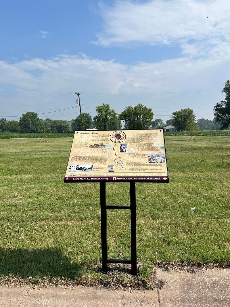
Location. 38° 17.68′ N, 90° 18.931′ W. Marker is in Valmeyer, Illinois, in Monroe County. Marker is on West Main Street (Road 156) 0.1 miles east of Lake Street (County Road 6), on the right when traveling west. Touch for map. Marker is at or near this postal address: 117 West Main Street, Valmeyer IL 62295, United States of America. Touch for directions.
Other nearby markers. At least 8 other markers are within 4 miles of this marker, measured as the crow flies. The Floarke Pavilion (approx. 0.4 miles away); Salt Lick Point (approx. 0.7 miles away); Harrisonville, Illinois (approx. 1.9 miles away); Valmeyer Community Heritage Society (approx. 2.2 miles away); M102 Howitzer (approx. 2.2 miles away); Louis E. Miller (approx. 2.2 miles away); Pioneer Mill (approx. 4.1 miles away); William H. Bissell (approx. 4.1 miles away). Touch for a list and map of all markers in Valmeyer.
Credits. This page was last revised on July 11, 2023. It was originally submitted on June 28, 2023, by Thomas Smith of Waterloo, Ill. This page has been viewed 126 times since then and 46 times this year. Photos: 1. submitted on June 28, 2023, by Thomas Smith of Waterloo, Ill. 2. submitted on June 29, 2023, by Thomas Smith of Waterloo, Ill. • Devry Becker Jones was the editor who published this page.

