Franklin in Macon County, North Carolina — The American South (South Atlantic)
Built in 1921
The Joines Building
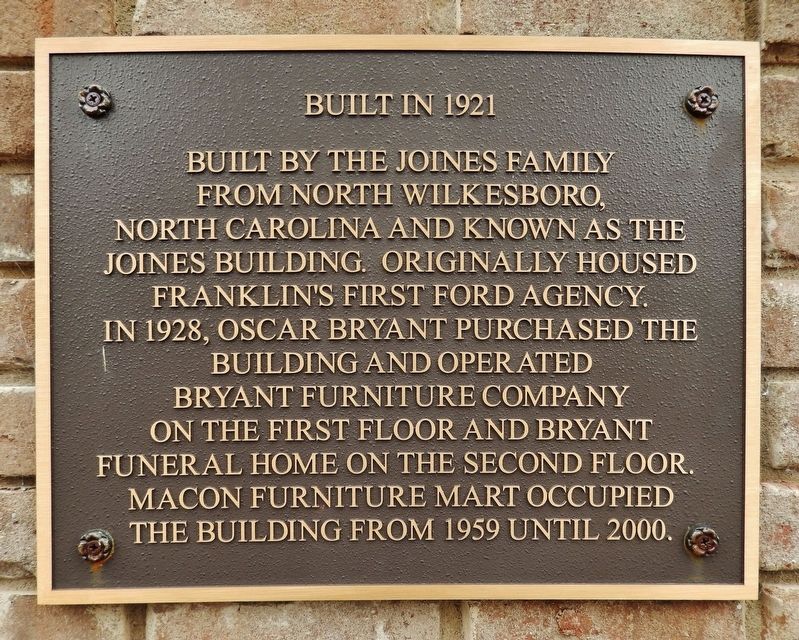
Built by the Joines family from North Wilkesboro, North Carolina and known as the Joines Building. Originally housed Franklinís first Ford Agency. In 1928, Oscar Bryant purchased the building and operated Bryant Furniture Company on the first floor and Bryant Funeral Home on the second floor. Macon Furniture Mart occupied the building from 1959 until 2000.
Topics. This historical marker is listed in these topic lists: Architecture • Industry & Commerce. A significant historical year for this entry is 1921.
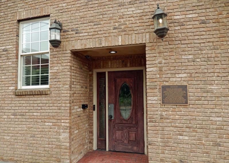
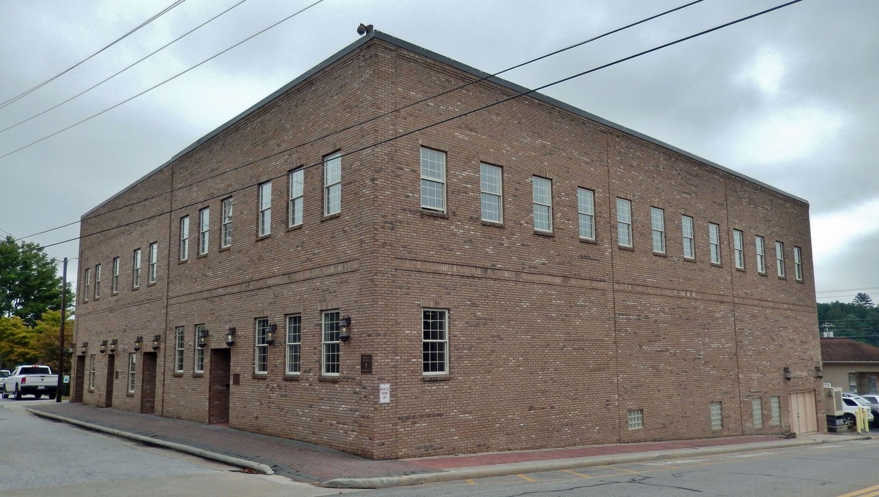
Location. 35° 10.892′ N, 83° 22.851′ W. Marker is in Franklin, North Carolina, in Macon County. Marker is on Stewart Street just east of Phillips Street, on the right when traveling east. Marker is mounted at eye-level near the northwest corner of the building at this address, facing Stewart Street. Touch for map. Marker is at or near this postal address: 9 Stewart Street, Franklin NC 28734, United States of America. Touch for directions.
Other nearby markers. At least 8 other markers are within walking distance of this marker. Gem Mining (within shouting distance of this marker); Battle of Echoe (within shouting distance of this marker); The North Carolina Bartram Trail (within shouting distance of this marker); Macon County Confederate Memorial (within shouting distance of this marker); William Bartram Naturalist (within shouting distance of this marker); Thomas's Legion (within shouting distance of this marker); Dixie Hall (about 300 feet away, measured in a direct line); Nikwasi Mound (approx. half a mile away). Touch for a list and map of all markers in Franklin.
Credits. This page was last revised on July 1, 2023. It was originally submitted on July 1, 2023, by Cosmos Mariner of Cape Canaveral, Florida. This page has been viewed 76 times since then and 24 times this year. Photos: 1, 2, 3. submitted on July 1, 2023, by Cosmos Mariner of Cape Canaveral, Florida.


