District 1 near Clinton in Anderson County, Tennessee — The American South (East South Central)
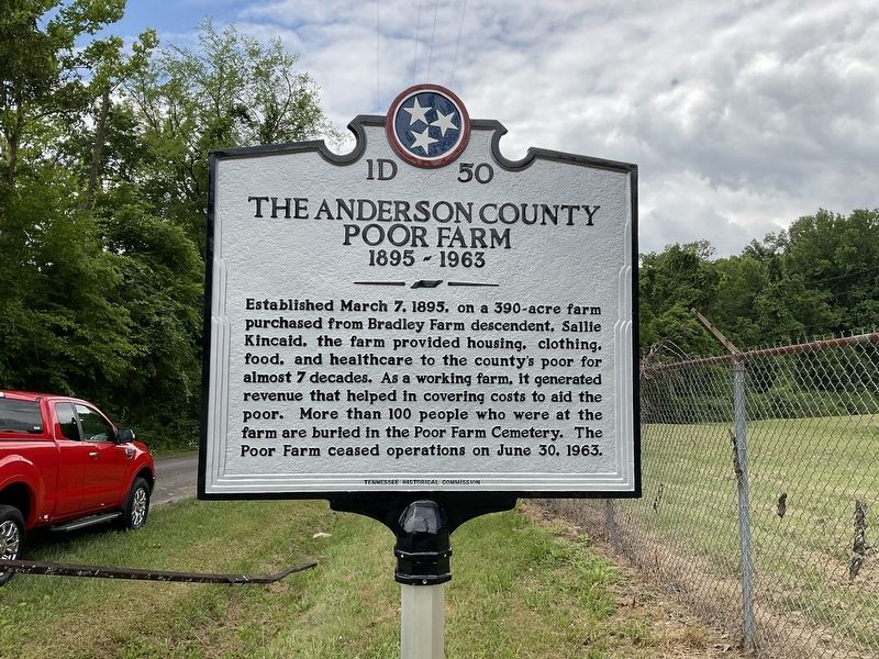
The Anderson County Poor Farm
1895 - 1963
Established March 7, 1895, on a 390-acre farm purchased from Bradley Farm descendent, Sallie Kincaid, the farm provided housing, clothing, food, and healthcare to the county's poor for almost 7 decades. As a working farm, it generated revenue that helped in covering costs to aid the poor. More than 100 people who were at the farm are buried in the Poor Farm Cemetery. The Poor Farm ceased operations on June 30, 1963.
Erected 2023 by Tennessee Historical Commission. (Marker Number 1D 50.)
Topics and series. This historical marker is listed in this topic list: Charity & Public Work. In addition, it is included in the Tennessee Historical Commission series list. A significant historical year for this entry is 1895.
Location. 36° 2.554′ N, 84° 10.985′ W. Marker is near Clinton, Tennessee, in Anderson County. It is in District 1. Marker is at the intersection of Blockhouse Valley Road and Old Emory Road, on the right when traveling west on Blockhouse Valley Road. Touch for map. Marker is in this post office area: Clinton TN 37716, United States of America. Touch for directions.
Other nearby markers. At least 8 other markers are within 4 miles of this marker, measured as the crow flies. Elza Gate (approx. 1.4 miles away); The TVA System of Multi-Purpose Dams (approx. 2 miles away); Bull Run Steam Plant (approx. 2 miles away); David Hall Cabin (approx. 2.4 miles away); Castle on the Hill (approx. 3.2 miles away); Historic Oak Ridge Playhouse (approx. 3.3 miles away); The Guest House (approx. 3.4 miles away); The Chapel-on-the-Hill (approx. 3.4 miles away). Touch for a list and map of all markers in Clinton.
Also see . . . Poor Farm Cemetery at findagrave.com. (Submitted on July 13, 2023, by Leo York of Clinton, Tennessee.)
Credits. This page was last revised on July 14, 2023. It was originally submitted on July 3, 2023, by Leo York of Clinton, Tennessee. This page has been viewed 196 times since then and 78 times this year. Photo 1. submitted on July 3, 2023, by Leo York of Clinton, Tennessee. • James Hulse was the editor who published this page.
Editor’s want-list for this marker. A wide area photo of the marker and the surrounding area in context • Can you help?
