University City in Philadelphia in Philadelphia County, Pennsylvania — The American Northeast (Mid-Atlantic)
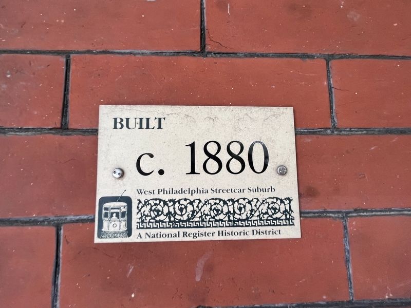
Built c. 1880
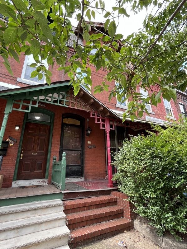
4406 Sansom Street
— West Philadelphia Streetcar Suburb Historic District —
West Philadelphia Streetcar Suburb
A National Register [of Historic Places] Historic District
Topics. This historical marker is listed in these topic lists: Railroads & Streetcars • Settlements & Settlers. A significant historical year for this entry is 1880.
Location. 39° 57.344′ N, 75° 12.599′ W. Marker is in Philadelphia, Pennsylvania, in Philadelphia County. It is in University City. Marker is on Sansom Street west of South 44th Street, on the left when traveling west. Touch for map. Marker is at or near this postal address: 4406 Sansom Street, Philadelphia PA 19104, United States of America. Touch for directions.
Other nearby markers. At least 8 other markers are within walking distance of this marker. Built c. 1884 (about 400 feet away, measured in a direct line); a different marker also named Built c. 1880 (about 400 feet away); Built c. 1895 (approx. 0.2 miles away); Built c. 1904 (approx. 0.2 miles away); American Bandstand (approx. ¼ mile away); a different marker also named Built c. 1884 (approx. ¼ mile away); a different marker also named Built c. 1904 (approx. ¼ mile away); Built c. 1899 (approx. ¼ mile away). Touch for a list and map of all markers in Philadelphia.
Also see . . .
1. West Philadelphia Streetcar Suburb Historic District. Wikipedia entry (Submitted on July 4, 2023, by Larry Gertner of New York, New York.)
2. National Register of Historic Places Boundary Increase Nomination Form .
Excerpt from page 2, describing the original boundaries of the District:
The West Philadelphia Streetcar Suburb Historic District was listed on the National Register of Historic Places in 1998. The nomination established two areas of significance under Criterion A, community development, and Criterion C, architecture. The district represents the transformation of rural West Philadelphia into an early suburb, a process that closely paralleled developments in transportation, particularly the introduction of horsecar lines in the 1850s and later the electrified trolleys in the 1890s. The district is also significant for its concentration of semi-urban residential architecture – particularly the twin house – and supporting religious, institutional, and commercial buildings designed in characteristic Victorian and early-twentieth century styles by a range of architects, including many of Philadelphia’s most well-known practitioners.(Submitted on July 3, 2023, by Devry Becker Jones of Washington, District of Columbia.)
Credits. This page was last revised on September 20, 2023. It was originally submitted on July 3, 2023, by Devry Becker Jones of Washington, District of Columbia. This page has been viewed 48 times since then and 7 times this year. Photos: 1, 2. submitted on July 3, 2023, by Devry Becker Jones of Washington, District of Columbia.

