Southlake in Tarrant County, Texas — The American South (West South Central)
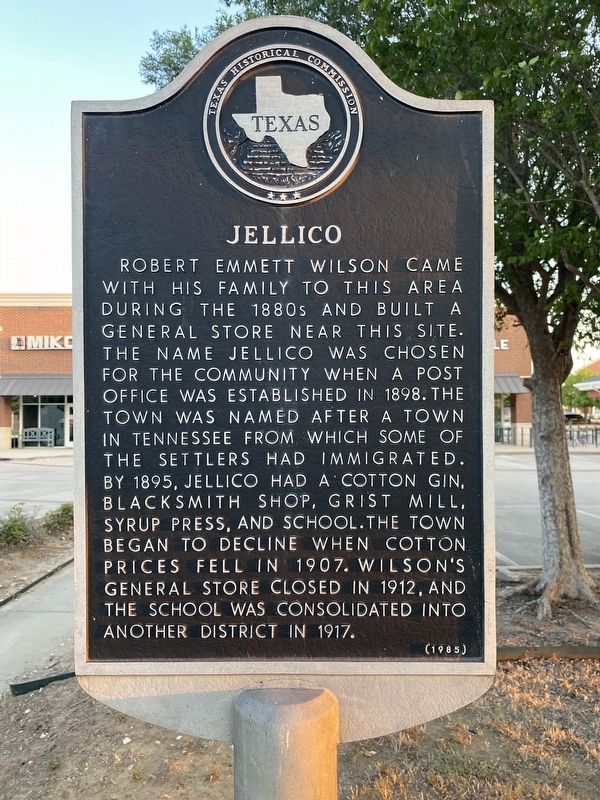
Jellico
Photographed by Morgan Petermann, July 4, 2023
1. Jellico side of marker
Erected 1985 by Texas Historical Commission. (Marker Number 2748.)
Topics. This historical marker is listed in this topic list: Settlements & Settlers. A significant historical year for this entry is 1898.
Location. 32° 56.24′ N, 97° 11.197′ W. Marker is in Southlake, Texas, in Tarrant County. It is at the intersection of West Southlake Boulevard and Randol Mill Avenue, on the right when traveling west on West Southlake Boulevard. Touch for map. Marker is at or near this postal address: 2310 W Southlake Blvd, Southlake TX 76092, United States of America. Touch for directions.

Regionally,
this page online
Other nearby markers. At least 8 other markers are within 3 miles of this marker, measured as the crow flies: Hood Cemetery (approx. 2 miles away); White's Chapel Cemetery (approx. 2.1 miles away); White's Chapel (approx. 2.1 miles away); Mount Gilead Baptist Church (approx. 2.1 miles away); Mount Gilead Cemetery (approx. 2.2 miles away); Pioneer Stone Burial Cairns (approx. 2.2 miles away); The "Rock House" (approx. 2.3 miles away); Dunn/Tirk Log Barn (approx. 2.4 miles away). Touch for a list and map of all markers in Southlake.
Photographed by Morgan Petermann, July 4, 2023
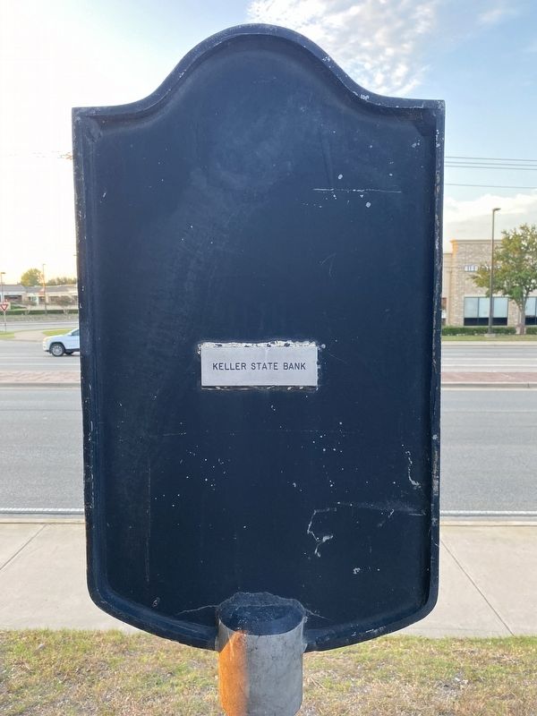
2. Keller State Bank side of marker
Photographed by Morgan Petermann, July 4, 2023
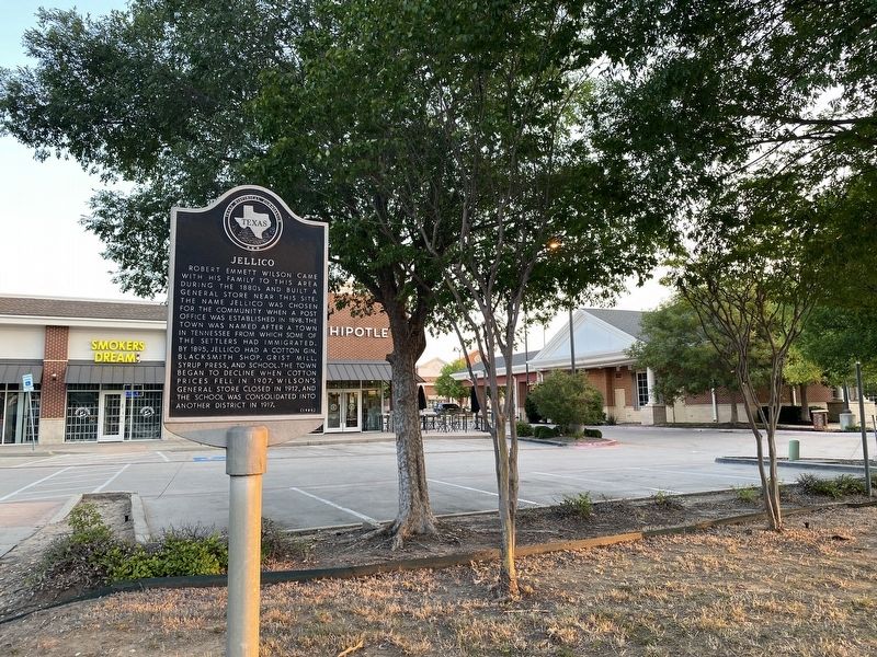
3. Jellico Marker
Credits. This page was last revised on July 4, 2023. It was originally submitted on July 4, 2023, by Morgan Petermann of Hurst, Texas. This page has been viewed 677 times since then and 43 times this year. Photos: 1, 2, 3. submitted on July 4, 2023, by Morgan Petermann of Hurst, Texas. • James Hulse was the editor who published this page.
