Coker Creek in Monroe County, Tennessee — The American South (East South Central)
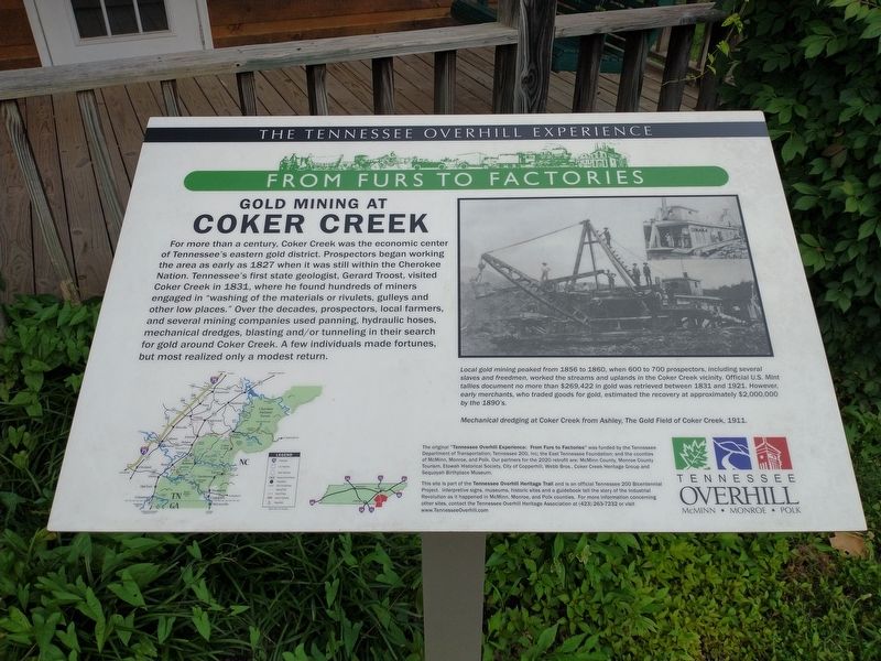
Gold Mining at Coker Creek
The Tennessee Overhill Experience: From Furs to Factories
[Caption]:
Local gold mining peaked from 1856 to 1860, when 600 to 700 prospectors, including several slaves and freedmen, worked the streams and uplands in the Coker Creek vicinity. Official U.S. Mint tallies document no more than $269, 422 in gold was retrieved between 1831 and 1921. However, early merchants, who traded goods for gold, estimated the recovery at approximately $2,000,000 by the 1890’s.
Mechanical dredging at Coker Creek from Ashley, The Gold Field of Coker Creek, 1911.
Erected by Tennessee Department of Transportation; Tennessee 200, Inc.; The East Tennessee Foundation; McMinn, Monroe, & Polk Counties; Monroe County Tourism; Etowah Historical Society; City of Copperhill; Webb Bros.; Coker Creek Heritage Group; and Sequoyah Birthplace Museum.
Topics and series. This historical marker is listed in this topic list: Industry & Commerce. In addition, it is included in the A Tennessee Overhill Experience - From Furs to Factories series list. A significant historical year for this entry is 1827.
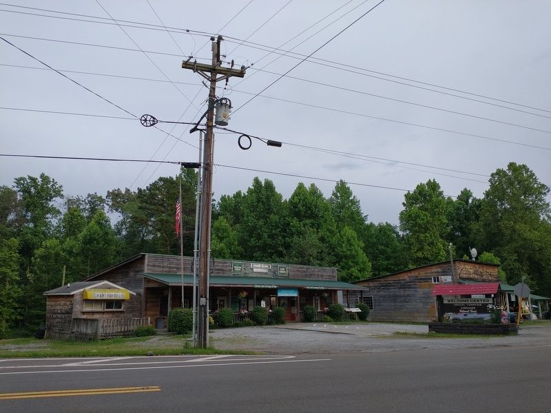
Location. 35° 15.505′ N, 84° 17.453′ W. Marker is in Coker Creek, Tennessee, in Monroe County. Marker is at the intersection of Tennessee Route 68 and Hot Water Road, on the right when traveling north on State Route 68. Touch for map. Marker is at or near this postal address: 12199 TN 68, Tellico Plains TN 37385, United States of America. Touch for directions.
Other nearby markers. At least 8 other markers are within 8 miles of this marker, measured as the crow flies. Unicoi Turnpike Trail (a few steps from this marker); Coker Creek (within shouting distance of this marker); Early Gold Mining (within shouting distance of this marker); Tellico Iron Works (approx. 7˝ miles away); Cherokee Heritage Trails (approx. 7˝ miles away); Fort Loudoun Massacre (approx. 7˝ miles away); Boyhood Home of Ray H. Jenkins (approx. 7˝ miles away); The Tennessee Overhill Experience (approx. 7˝ miles away).
Credits. This page was last revised on July 5, 2023. It was originally submitted on July 5, 2023, by Tom Bosse of Jefferson City, Tennessee. This page has been viewed 194 times since then and 103 times this year. Photos: 1, 2. submitted on July 5, 2023, by Tom Bosse of Jefferson City, Tennessee. • James Hulse was the editor who published this page.

