Spooner Summit near Carson City in Douglas County, Nevada — The American Mountains (Southwest)
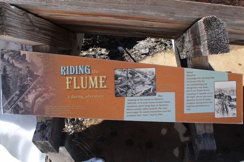
Riding the Flume
a daring adventure
Some dared to exchange the 12-mile hike to Carson City for an exhilarating and dangerous trip down the Clear Creek flume, traveling at speeds up to 60 mph. When you leave Spooner Summit today, imagine racing down the highway perched on a log!
Erected by US Forest Service.
Topics. This historical marker is listed in this topic list: Horticulture & Forestry.
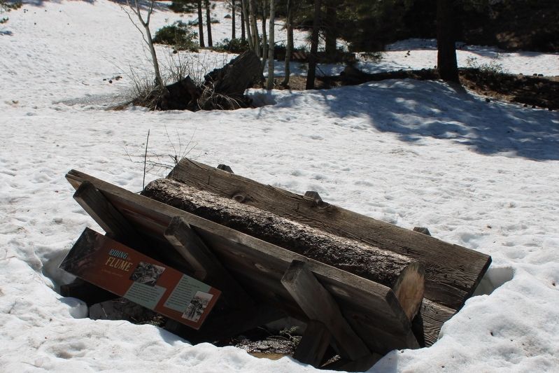
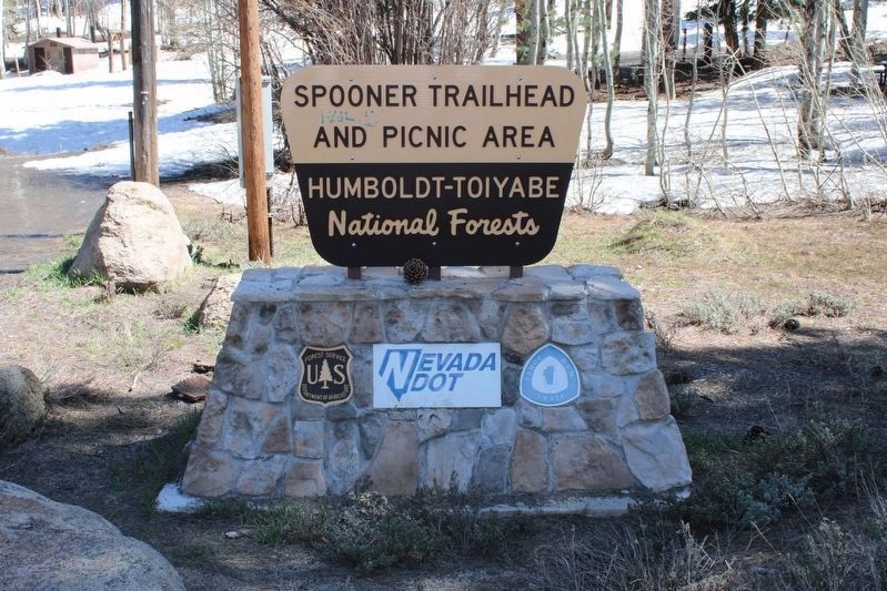
Location. 39° 6.219′ N, 119° 53.712′ W. Marker is near Carson City, Nevada, in Douglas County. It is in Spooner Summit. Marker can be reached from Lincoln Highway (U.S. 50 at milepost 13) west of Kings Canyon Road, on the right when traveling east. The resin marker is mounted below a section of flume at the Spooner Trailhead. Touch for map. Marker is in this post office area: Carson City NV 89703, United States of America. Touch for directions.
Other nearby markers. At least 8 other markers are within walking distance of this marker. Life at the Summit (here, next to this marker); Green Gold (here, next to this marker); Tomb of the Sierras (a few steps from this marker); Spooner Summit (within shouting distance of this marker); The Flume Trail (about 600 feet away, measured in a direct line); Tahoe Rim Trail (about 600 feet away); Marlette Lake Trail (about 600 feet away); Hiking the Tahoe Rim Dream (about 700 feet away). Touch for a list and map of all markers in Carson City.
More about this marker. Inset Images:
This lithograph accompanied the 1881 account of H.J. Ramsdell, who described “A Perilous Ride” down a V-flume located not far from here. Image courtesy Nevada Historical Society.
Sawmill, 1890, Photo courtesy Nevada Historical Society.
Clear Creek V-flume, Photo courtesy Nevada Historical Society
Related marker. Click here for another marker that is related to this marker. Spooner Summit
Also see . . . The Exhilarating and Terrifying Sport of Flume Riding By Judy DePuy. Truckee-Donner Historical Society
"V-flumes were used to transport logs, lumber, working material and supplies but they were also used to transport people and for entertainment."(Submitted on July 5, 2023, by Joseph Alvarado of Livermore, California.)
Credits. This page was last revised on July 5, 2023. It was originally submitted on July 5, 2023, by Joseph Alvarado of Livermore, California. This page has been viewed 74 times since then and 19 times this year. Photos: 1, 2, 3. submitted on July 5, 2023, by Joseph Alvarado of Livermore, California.


