Alamo Plaza in San Antonio in Bexar County, Texas — The American South (West South Central)
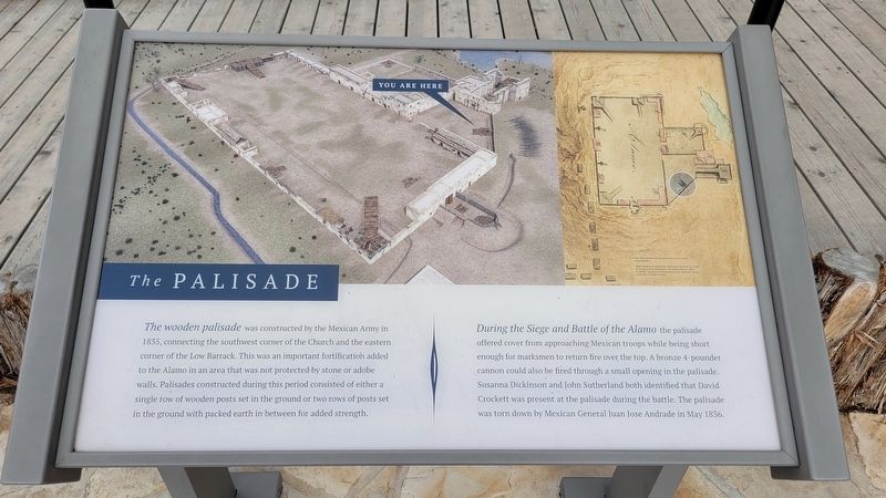
The Palisade
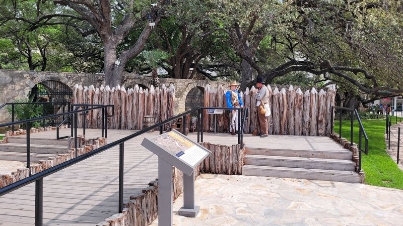
During the Siege and Battle of the Alamo the palisade offered cover from approaching Mexican troops while being short enough for marksmen to return fire over the top. A bronze 4-pounder cannon could also be fired through a small opening in the palisade. Susanna Dickinson and John Sutherland both identified that David Crockett was present at the palisade during the battle. The palisade was torn down by Mexican General Juan Jose Andrade in May 1836.
Topics. This historical marker is listed in this topic list: War, Texas Independence. A significant historical month for this entry is May 1836.
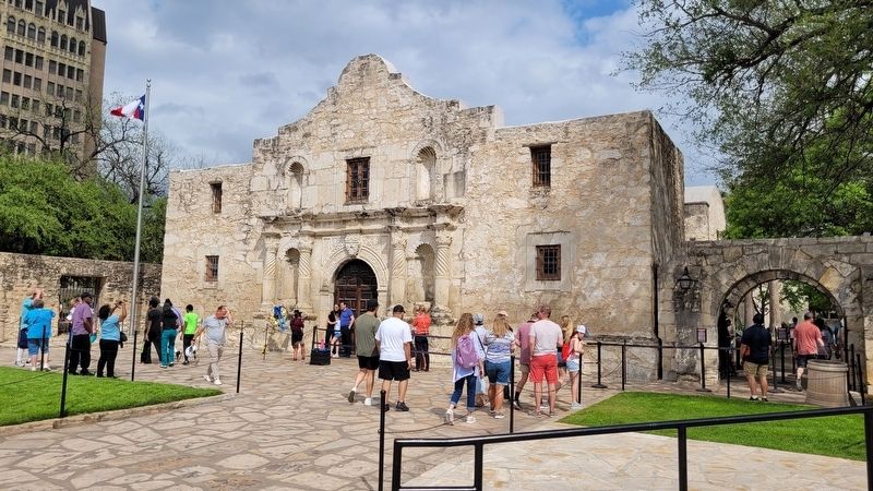
Location. 29° 25.536′ N, 98° 29.186′ W. Marker is in San Antonio, Texas, in Bexar County. It is in Alamo Plaza. Marker is at the intersection of Alamo Plaza and East Crockett Street on Alamo Plaza. The marker is located at the right side of entrance to the Alamo. Touch for map. Marker is at or near this postal address: 300 Alamo Plaza, San Antonio TX 78205, United States of America. Touch for directions.
Other nearby markers. At least 8 other markers are within walking distance of this marker. Late 18th Century Cannon (a few steps from this marker); The Defense of The Alamo (a few steps from this marker); Founding of the Mission and Origin of Name (a few steps from this marker); Letter From The Alamo (a few steps from this marker); Cannon From the Battle of the Alamo (a few steps from this marker); Lt. Col. William Barret Travis (within shouting distance of this marker); a different marker also named Cannon From the Battle of the Alamo (within shouting distance of this marker); Digging Back in Time (within shouting distance of this marker). Touch for a list and map of all markers in San Antonio.
Also see . . . Palisade. The Alamo (Submitted on July 6, 2023, by James Hulse of Medina, Texas.)
Credits. This page was last revised on July 6, 2023. It was originally submitted on July 5, 2023, by James Hulse of Medina, Texas. This page has been viewed 87 times since then and 21 times this year. Photos: 1, 2, 3. submitted on July 6, 2023, by James Hulse of Medina, Texas.


