Turbeville in Clarendon County, South Carolina — The American South (South Atlantic)
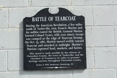
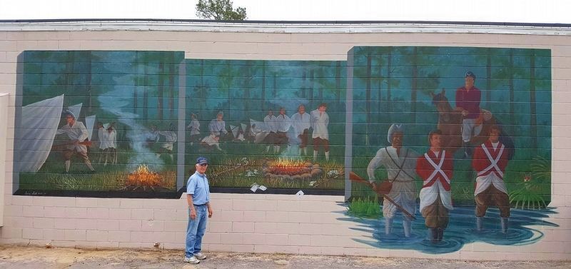
Battle of Tearcoat
Erected 2002 by The citizens of Clarendon County and the Town of Turbeville and the Chamber of Commerce.
Topics. This historical marker is listed in this topic list: War, US Revolutionary. A significant historical date for this entry is October 25, 1780.
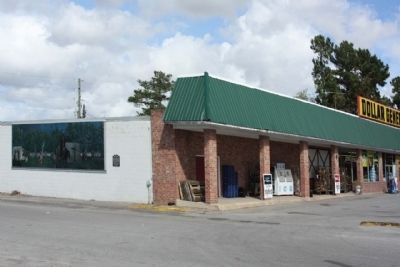
Location. 33° 53.428′ N, 80° 1.238′ W. Marker is in Turbeville, South Carolina, in Clarendon County. Marker is on Calvert Street (State Highway 14-119) west of Main Street (U.S. 301), on the right when traveling west. Mural painted on west wall of Dollar General. Touch for map. Marker is at or near this postal address: 1431 Main St, Turbeville SC 29162, United States of America. Touch for directions.
Other nearby markers. At least 8 other markers are within 8 miles of this marker, measured as the crow flies. The Burning of Mouzon's Home by his "Friend" (within shouting distance of this marker); Turbeville R.R. Depot (within shouting distance of this marker); Turpentine Still (about 300 feet away, measured in a direct line); Puddin’ Swamp 1776 – The Frontier (about 500 feet away); East Clarendon (approx. 0.2 miles away); Pine Grove / Turbeville School (approx. 0.4 miles away); Miller H. Mellette Highway (approx. one mile away); Goodwill School (approx. 7˝ miles away). Touch for a list and map of all markers in Turbeville.
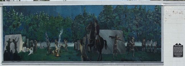
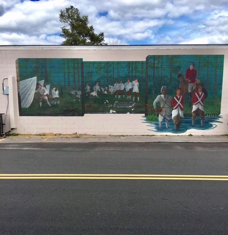
Regarding Battle of Tearcoat. Marion called a muster and with 150 men moved to Kingstree. He then turned west and moved swiftly toward Tearcoat. After scouting the encampment Marion split his force into three companies and attacked at midnight. The attackers killed six, wounded fourteen and captured twenty-three men. They also captured the food, baggage, ammunition, over eighty new muskets and horses with saddles. However, Tynes escaped, but was captured a few days later in the High Hills (near Stateburg). Tearcoat Mural ©2002
Related marker. Click here for another marker that is related to this marker. To better understand the relationship, study each marker in the order shown.
Also see . . . Swamp Fox Murals Trails. (Submitted on July 8, 2023.)
Credits. This page was last revised on July 8, 2023. It was originally submitted on October 25, 2009, by Mike Stroud of Bluffton, South Carolina. This page has been viewed 2,539 times since then and 61 times this year. Last updated on July 6, 2023, by C Summers of Manning, South Carolina. Photos: 1, 2, 3. submitted on October 25, 2009, by Mike Stroud of Bluffton, South Carolina. 4, 5. submitted on February 21, 2020, by C Summers of Manning, South Carolina. • Bernard Fisher was the editor who published this page.
