Near Anna in Shelby County, Ohio — The American Midwest (Great Lakes)
Village of Rumley
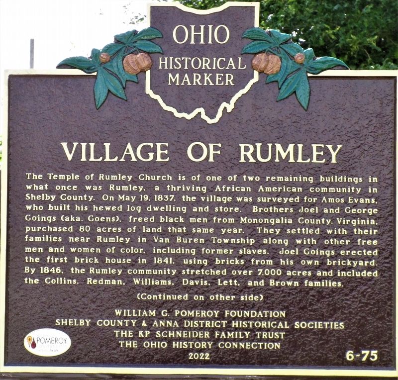
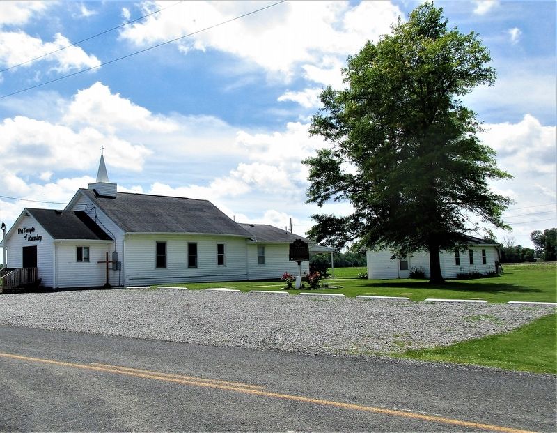
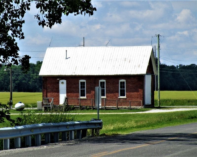
The Temple of Rumley Church is of one of two remaining buildings in what once was Rumley, a thriving African American community in Shelby County. On May 19, 1837, the village was surveyed for Amos Evans, who built his hewed log dwelling and store. Brothers Joel and George Goings (aka. Goens), freed black men from Monongalia County, Virginia, purchased 80 acres of land that same year. They settled with their families near Rumley in Van Buren Township along with other free men and women of color, including former slaves. Joel Goings erected the first brick house in 1841, using bricks from his own brickyard. By 1846, the Rumley community stretched over 7,000 acres and included the Collins, Redman, Williams, Davis, Lett, and Brown families.
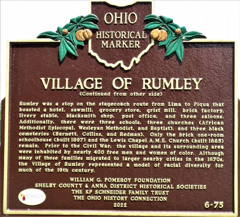
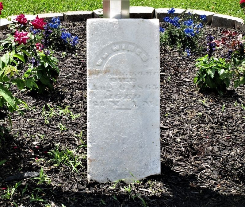
Rumley was a stop on the stagecoach route from Lima to Piqua that boasted a hotel, sawmill, grocery store, grist mill, brick factory, livery stable, blacksmith shop, post office, and three saloons. Additionally, there were three schools, three churches (African Methodist Episcopal, Wesleyan Methodist, and Baptist), and three black cemeteries (Barnett, Collins, and Redman). Only the brick one-room schoolhouse (built 1897) and the Lewis Chapel A.M.E. Church (built 1885) remain. Prior to the Civil War, the village and its surrounding area were inhabited by nearly 400 free men and women of color. Although many of these families migrated to larger nearby cities in the 1870s, the Village of Rumley represented a model of racial diversity for much of the 19th century.
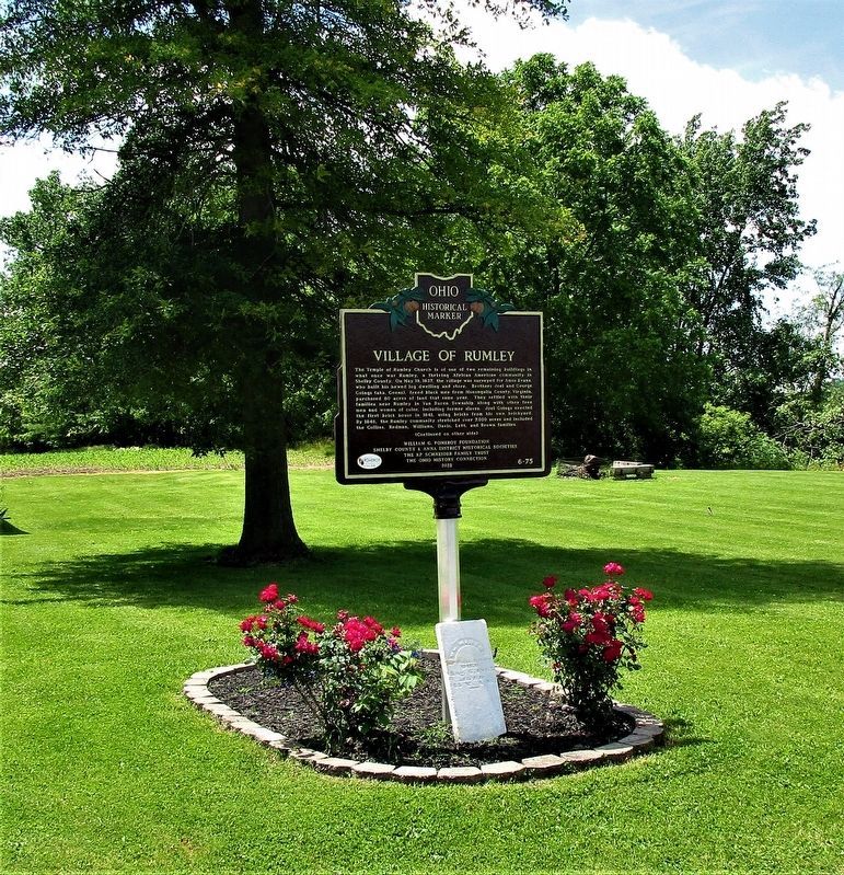
Erected 2022. (Marker Number 6-75.)
Topics and series. This historical marker is listed in these topic lists: African Americans • Churches & Religion • Settlements & Settlers. In addition, it is included in the Ohio Historical Society / The Ohio History Connection series list. A significant historical date for this entry is May 19, 1837.
Location. 40° 24.876′ N, 84° 14.617′ W. Marker is near Anna, Ohio, in Shelby County. Marker is at the intersection of Hardin - Wapak Road (County Route 20) and Blanke Road (County Route 76), on the right when traveling south on Hardin - Wapak Road. The marker stands near the crossing of Loramie Creek. Touch for map. Marker is at or near this postal address: 14811 Hardin Wapak Road, Anna OH 45302, United States of America. Touch for directions.
Other nearby markers. At least 8 other markers are within 5 miles of this marker, measured as the crow flies. Rumley (a few steps from this marker); Wenger One Room School (approx. 1.7 miles away); Collins Cemetery (approx. 1.8 miles away); Lois Lenski (approx. 3.7 miles away); John W. Carey (approx. 3.8 miles away); St. Patrick Catholic Church (approx. 3.8 miles away); Shelby House (approx. 4.7 miles away); The Site of the St. Jacob Lutheran Church and Cemetery (approx. 4.8 miles away). Touch for a list and map of all markers in Anna.
Credits. This page was last revised on July 8, 2023. It was originally submitted on June 9, 2022, by Rev. Ronald Irick of West Liberty, Ohio. This page has been viewed 347 times since then and 94 times this year. Last updated on July 7, 2023, by Grant & Mary Ann Fish of Galloway, Ohio. Photos: 1, 2, 3, 4, 5, 6. submitted on June 9, 2022, by Rev. Ronald Irick of West Liberty, Ohio. • Devry Becker Jones was the editor who published this page.
