Derry in Natchitoches Parish, Louisiana — The American South (West South Central)
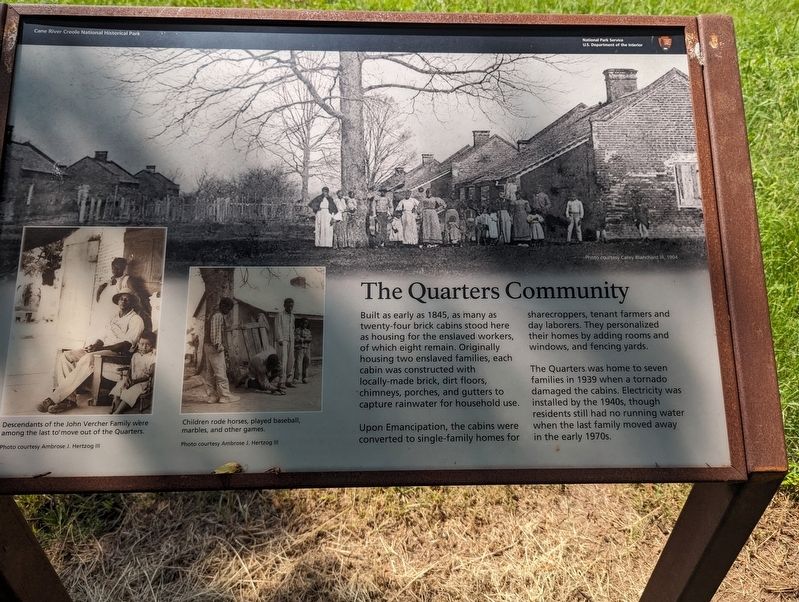
The Quarters Community
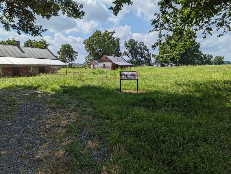
Built as early as 1845, as many as twenty-four brick cabins stood here as housing for the enslaved workers, of which eight remain. Originally housing two enslaved families, each cabin was constructed with locally-made brick, dirt floors, chimneys, porches, and gutters to capture rainwater for household use.
Upon Emancipation, the cabins were converted to single-family homes for sharecroppers, tenant farmers and day laborers. They personalized their homes by adding rooms and windows, and fencing yards.
The Quarters was home to seven families in 1939 when a tornado damaged the cabins. Electricity was installed by the 1940s, though residents still had no running water. when the last family moved away in the early 1970s.
Erected by National Park Service.
Topics. This historical marker is listed in this topic list: Settlements & Settlers.
Location. 31° 33.013′ N, 92° 56.429′ W. Marker is in Derry, Louisiana, in Natchitoches Parish. Marker can be reached from State Highway 119, one mile north of State Highway 1, on the right when traveling north. Touch for map. Marker is at or near this postal address: 1111 LA-119, Cloutierville LA 71416, United States of America. Touch for directions.
Other nearby markers. At least 8 other markers are within walking distance of this marker. The Tornado (within shouting distance of this marker); Unearthing The Past (within shouting distance of this marker); Livestock (within shouting distance of this marker); Farming Transitions (about 300 feet away, measured in a direct line); The Sound of Time (about 400 feet away); Magnolia Plantation (about 400 feet away); Oakland Plantation (about 400 feet away); Magnolia Plantation Site Map (about 400 feet away). Touch for a list and map of all markers in Derry.
Credits. This page was last revised on July 8, 2023. It was originally submitted on July 8, 2023, by Cajun Scrambler of Assumption, Louisiana. This page has been viewed 46 times since then and 5 times this year. Photos: 1, 2. submitted on July 8, 2023, by Cajun Scrambler of Assumption, Louisiana.

