Downtown Los Angeles in Los Angeles County, California — The American West (Pacific Coastal)
El Pueblo
1853
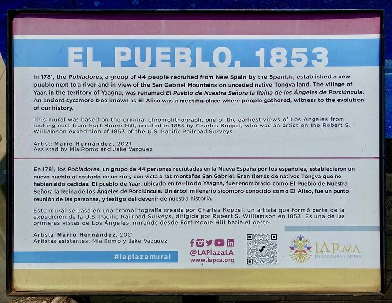
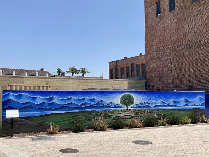
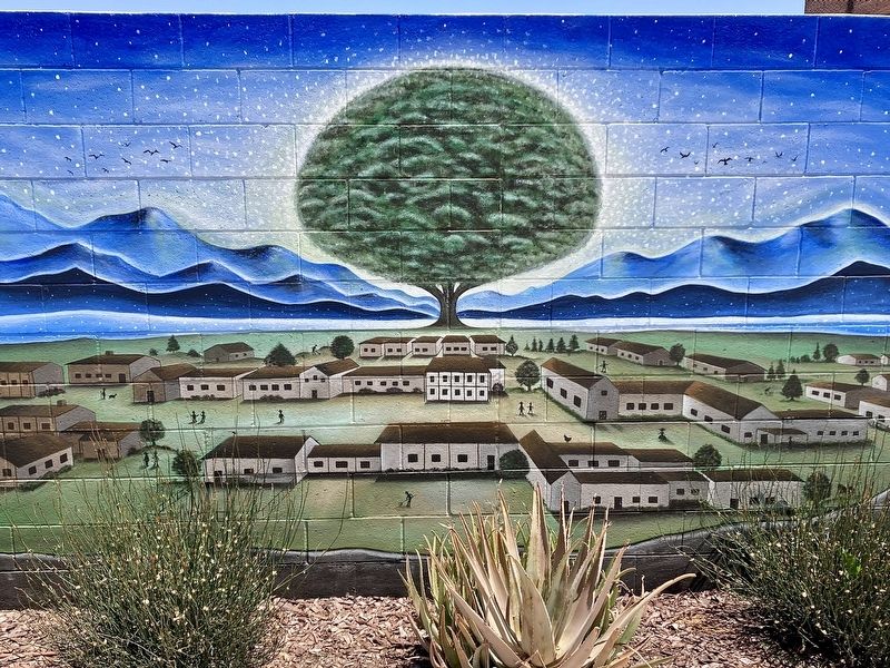
This mural was based on the original chromolithograph, one of the earliest views of Los Angeles from looking east from Fort Moore Hill, created in 1853 by Charles Koppel, who was an artist on the Robert S. Williamson expedition of 1853 of the U.S. Pacific Railroad Surveys.
Artist: Mario Hernández, 2021. Assisted by Mia Romo and Jake Vazquez.
———————————————————
Este mural se basa en una cromolitografía creada por Charles Koppel, un artista que formó parte de la expedición de la U.S. Pacific Railroad Surveys, dirigida por Robert S. Williamson en 1853. Es una de las primeras vistas de Los Ángeles, mirando desde Fort Moore Hill hacia el oeste.
Artista: Mario Hernández, 2021. Artistas asistentes: Mia Romo y Jake Vazquez.
Erected 2021 by LA Plaza de Cultura y Artes.
Topics. This historical marker is listed in this topic list: Settlements & Settlers. A significant historical year for this entry is 1853.
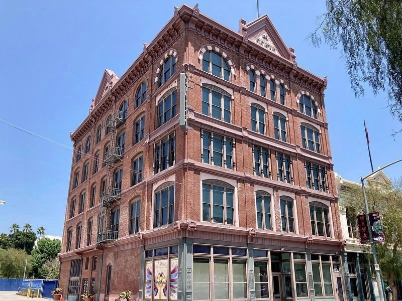
Location. 34° 3.397′ N, 118° 14.417′ W. Marker is in Los Angeles, California, in Los Angeles County. It is in Downtown Los Angeles. Marker can be reached from Main Street north of U.S. 101, on the left when traveling north. Located behind LA Plaza de Cultura y Artes, a free museum of Mexican American culture. Touch for map. Marker is at or near this postal address: 501 N Main St, Los Angeles CA 90012, United States of America. Touch for directions.
Other nearby markers. At least 8 other markers are within walking distance of this marker. Forced Removal of Mexican Americans (within shouting distance of this marker); Pico House (within shouting distance of this marker); Merced Theatre (within shouting distance of this marker); Historic Los Angeles Cemetery (about 300 feet away, measured in a direct line); a different marker also named Pico House (about 300 feet away); Nuestra Señora la Reina de Los Angeles (about 300 feet away); La Iglesia de Nuestra Señora la Reina de los Angeles (about 300 feet away); a different marker also named Pico House (about 300 feet away). Touch for a list and map of all markers in Los Angeles.
Related marker. Click here for another marker that is related to this marker. - The former location of an ancient sycamore tree known as El Aliso, a meeting place where people gathered.
Also see . . . LA Plaza de Cultura y Artes museum. (Submitted on July 10, 2023, by Craig Baker of Sylmar, California.)
Credits. This page was last revised on July 10, 2023. It was originally submitted on July 10, 2023, by Craig Baker of Sylmar, California. This page has been viewed 71 times since then and 20 times this year. Photos: 1, 2, 3, 4. submitted on July 10, 2023, by Craig Baker of Sylmar, California.


