Thunder Bay in Thunder Bay District, Ontario — Central Canada (North America)
Historic Tyndall Stone
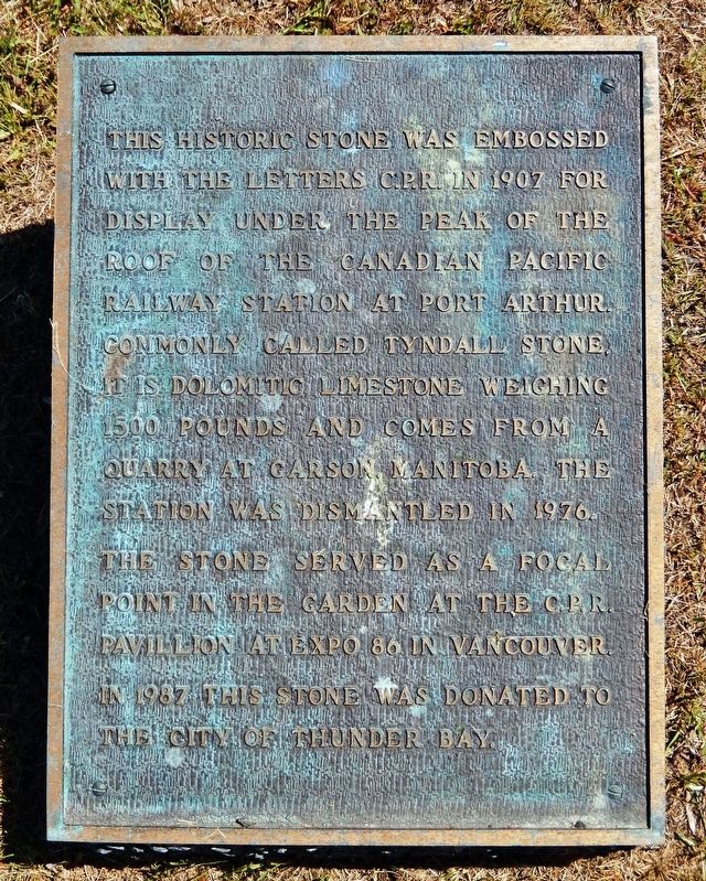
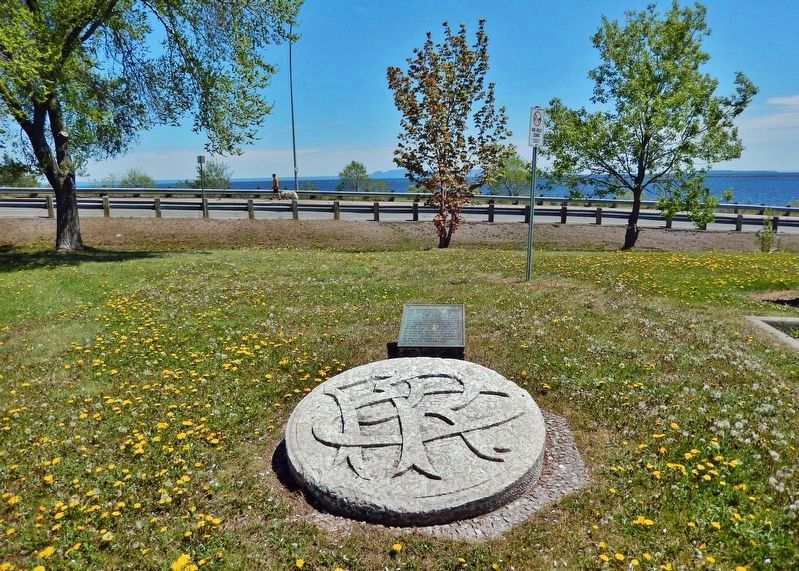
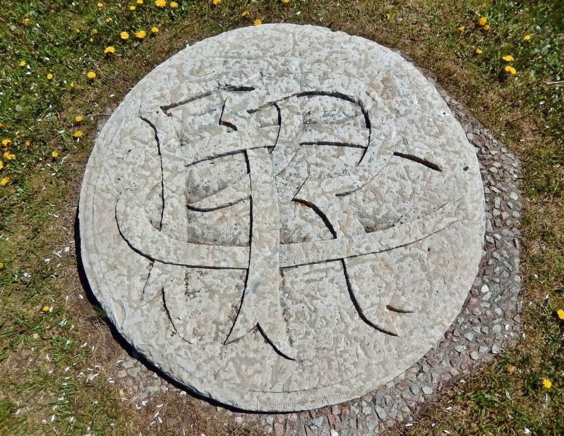
This historic stone was embossed with the letters C.P.R. in 1907 for display under the peak of the roof of the Canadian Pacific Railway Station at Port Arthur. Commonly called Tyndall stone, it is dolomitic limestone weighing 1500 pounds and comes from a quarry at Garson, Manitoba. The station was dismantled in 1976. The stone served as a focal point in the garden at the C.P.R. pavilion at Expo ’86 in Vancouver. In 1987 this stone was donated to the City of Thunder Bay.
Topics. This historical marker is listed in these topic lists: Architecture • Railroads & Streetcars. A significant historical year for this entry is 1907.
Location. 48° 26.287′ N, 89° 12.748′ W. Marker is in Thunder Bay, Ontario, in Thunder Bay District. Marker can be reached from the intersection of Marina Park Drive and Marina Park Overpass, on the right when traveling north. Marker is near the north end of the Marina Park overlook parking lot. Touch for map. Marker is in this post office area: Thunder Bay ON P7A 8C2, Canada. Touch for directions.
Other nearby markers. At least 8 other markers are within walking distance of this marker. C.D. Howe (a few steps from this marker); International Taiji Park (approx. 0.4 kilometers away); Sir William C. Van Horne (approx. 0.4 kilometers away); Canadian Navy (approx. half a kilometer away); Whalen Building (approx. half a kilometer away); Thunder Bay Tourist Pagoda (approx. 0.6 kilometers away); The Tourist Pagoda (approx. 0.6 kilometers away); Port Arthur (approx. 0.6 kilometers away). Touch for a list and map of all markers in Thunder Bay.
Also see . . .
1. C.P.R. Station - Port Arthur (1925).
A view of the Canadian Pacific Railway Station, Port Arthur, in 1925. The structure, surmounted by a massive clock tower, was built in 1907 during the heyday of Canada's Railway Age. The baggage room and express office at the Arthur end of the station was built in 1915 with a subsequent addition in 1944. The station was demolished in 1976.(Submitted on July 11, 2023, by Cosmos Mariner of Cape Canaveral, Florida.)
2. Port Arthur's CPR station memory to behold. (Thunder Bay Museum Looking Back article) (Submitted on July 11, 2023, by Cosmos Mariner of Cape Canaveral, Florida.)
Credits. This page was last revised on July 11, 2023. It was originally submitted on July 11, 2023, by Cosmos Mariner of Cape Canaveral, Florida. This page has been viewed 55 times since then and 10 times this year. Photos: 1, 2, 3. submitted on July 11, 2023, by Cosmos Mariner of Cape Canaveral, Florida.


