La Muette in Paris in Département de Paris, Île-de-France, France — Western Europe
Bir Hakeim Memorial
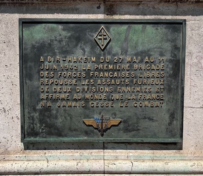
A Bir-Hakeim du 27 mai au 11 juin 1942 la Premiere Brigade des Forces Francaises Libres repousse les assauts furieux de deux divisions ennemies et affirme au monde que la France n’a jamais cesse le combat
At Bir Hakeim from May 27 to June 11, 1942, the First Brigade of the Free French Forces repelled the furious assaults of two enemy divisions and thus showed the world that France would never stop fighting.
Topics. This memorial is listed in this topic list: War, World II. A significant historical date for this entry is May 27, 1942.
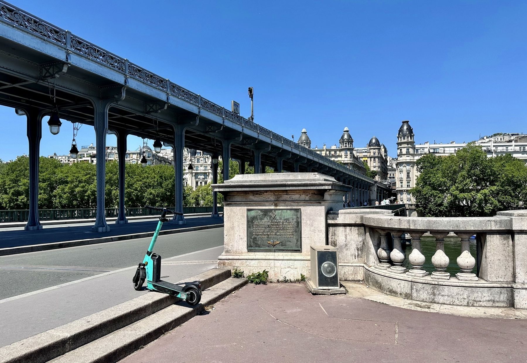
Location. 48° 51.346′ N, 2° 17.267′ E. Marker is in Paris, Île-de-France, in Département de Paris. It is in La Muette. Memorial is on Pont de Bir-Hakeim, on the right when traveling north. Touch for map. Marker is in this post office area: Paris, Île-de-France 75016, France. Touch for directions.
Other nearby markers. At least 8 other markers are within walking distance of this marker. Promenade d’Australie (1941) (about 120 meters away, measured in a direct line); Châteaubriand (about 120 meters away); Paul Morand (approx. half a kilometer away); Marie Louise Monnet, Germaine and Madeleine Tambour Memorial (approx. 0.6 kilometers away); Le Drapeau Tricolore (approx. 0.6 kilometers away); Bureau de Gustave Eiffel (approx. 0.6 kilometers away); La Premiere Liaison Radioelectrique (approx. 0.6 kilometers away); Place du Trocadero (approx. 0.7 kilometers away). Touch for a list and map of all markers in Paris.
Related marker. Click here for another marker that is related to this marker.
Also see . . .
1. Battle of Bir Hakeim (Wikipedia).
Overview: The Battle of Bir Hakeim took place at Bir Hakeim, an oasis in the Libyan desert south and west of Tobruk, during the Battle of Gazala (26 May – 21 June 1942). The 1st Free French Brigade under Général de brigade Marie-Pierre Kœnig defended the position from 26 May – 11 June against Axis forces of Panzerarmee Afrika commanded by Generaloberst Erwin Rommel. The Panzerarmee captured Tobruk ten days later.(Submitted on July 14, 2023.)
The delay imposed on the Axis offensive by the defence of Bir Hakeim influenced the cancellation of Operation Herkules, the Axis invasion of Malta. Rommel invaded Egypt, slowed by British delaying actions until the First Battle of El Alamein in July, where the Axis advance was stopped. Both sides used the battle for propaganda, Winston Churchill declared the Free French to be the “Fighting French”.
2. Forgotten Fights: The Free French at Bir Hacheim, May 1942 (The National WWII Museum).
Overview: One of WWII’s most stirring “Forgotten Fights” took place in May 1942 at the North African desert outpost of Bir Hacheim (also Bir Hakeim.) In this encounter, German and Italian forces under the command of Germany’s “Desert Fox,” General Erwin Rommel, faced off against Free French forces, including African colonial troops, under Brigadier General Marie-Pierre Koenig. The French fought hard for two weeks before finally giving way, allowing Rommel’s forces to continue their advance toward the Suez Canal. Even in tactical defeat, however, the French had won a significant strategic victory.(Submitted on July 14, 2023.)
Credits. This page was last revised on August 2, 2023. It was originally submitted on July 14, 2023, by Andrew Ruppenstein of Lamorinda, California. This page has been viewed 61 times since then and 15 times this year. Photos: 1, 2. submitted on July 14, 2023, by Andrew Ruppenstein of Lamorinda, California.

