Wytheville in Wythe County, Virginia — The American South (Mid-Atlantic)
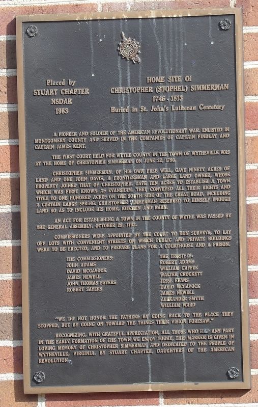
Home Site of Christopher (Stophel) Simmerman
1746-1813
| — | Buried in St. John's Lutheran Cemetery | — |
Photographed by Duane and Tracy Marsteller, June 17, 2023
1. Home Site of Christopher (Stophel) Simmerman Marker
The first court held for Wythe County in the town of Wytheville was at the home of Christopher Simmerman on June 22, 1790.
Christopher Simmerman, of his own free will, gave ninety acres of land and one John Davis, a frontiersman and large land owner, whose property joined that of Christopher, gave ten acres to establish a town which was first known as Evansham. They conveyed all their rights and title to one hundred acres on the south side of the Great Road, including a certain large spring. Christopher Simmerman reserved to himself enough land so as to include his home, kitchen and barn.
An act for establishing a town in the county of Wythe was passed by the General Assembly, October 29, 1792.
Commissioners were appointed by the court to run surveys, to lay off lots with convenient streets on which public and private buildings were to be erected, and to prepare plans for a courthouse and a prison.
The commissioners: John Adams • David McGavock • James Newell • John Thomas Sayers • Robert Sayers
The trustees: Robert Adams • William Caffee • Walter Crockett • Jesse Evans • David McGavock • James Newell • Alexander Smyth • William Ward
“We do not honor the fathers by going back to the place they stopped, but by going on toward the things their vision foresaw.”
Recognizing, with grateful appreciation, all those who had any part in the early formation of the town we enjoy today, this marker is given in loving memory of Christopher Simmerman and dedicated to the people of Wytheville, Virginia, by Stuart Chapter, Daughters of the American Revolution.
Erected 1983 by Stuart Chapter, National Society Daughters of the American Revolution.
this page online
Topics and series. This historical marker is listed in these topic lists: Political Subdivisions • Settlements & Settlers • War, US Revolutionary. In addition, it is included in the Daughters of the American Revolution (DAR) series list. A significant historical date for this entry is June 22, 1790.
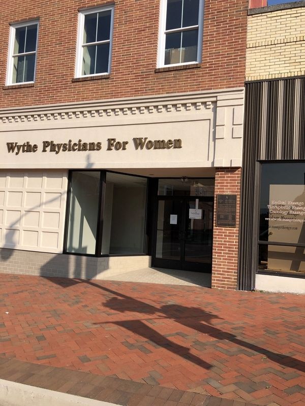
Location. 36° 56.968′ N, 81° 5.05′ W. Marker is in Wytheville, Virginia, in Wythe County. It is on West Main Street (U.S. 11) west of Tazewell Street, on the right when traveling west. Touch for map. Marker is at or near this postal address: 140 W Main St, Wytheville VA 24382, United States of America. Touch for directions.

Regionally, this marker is in Southwest Virginia and in the Blue Ridge Highlands. It is also in the American South, specifically in the Upper South, in Appalachia, and specifically in Southern Appalachia. Globally, it is in North America, the Western Hemisphere, the Western World, and the Anglosphere. Historically, it finds itself in what was once the territory of the Mississippian Culture, one of the original Thirteen Colonies, one of the Confederate States of America, and the Antebellum South.
Other nearby markers. At
Photographed by Duane and Tracy Marsteller, June 18, 2023
2. Home Site of Christopher (Stophel) Simmerman Marker
Credits. This page was last revised on July 15, 2023. It was originally submitted on July 15, 2023, by Duane and Tracy Marsteller of Murfreesboro, Tennessee. This page has been viewed 728 times since then and 102 times this year. Photos: 1, 2. submitted on July 15, 2023, by Duane and Tracy Marsteller of Murfreesboro, Tennessee.
