Dunbar in Fayette County, Pennsylvania — The American Northeast (Mid-Atlantic)
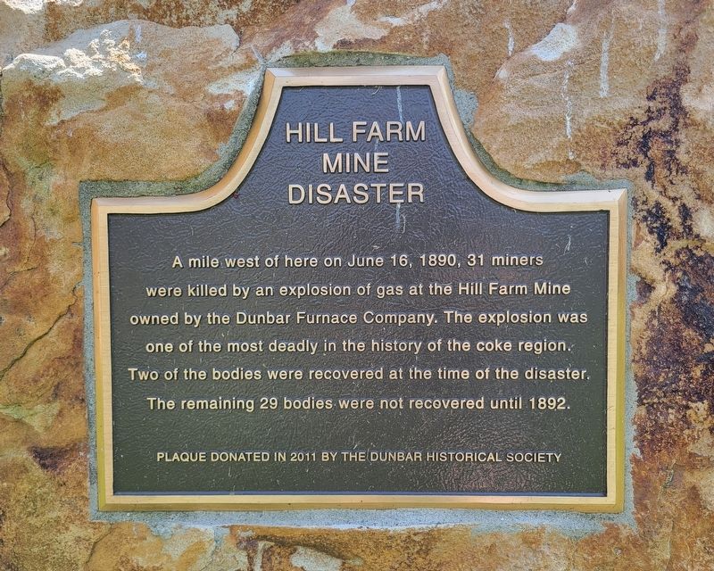
Hill Farm Mine Disaster
A mile west of here on June 16, 1890, 31 miners were killed by an explosion of gas at the Hill Farm Mine owned by the Dunbar Furnace Company. The explosion was one of the most deadly in the history of the coke region. Two of the bodies were recovered at the time of the disaster. The remaining 29 bodies were not recovered until 1892.
Erected 2011 by Dunbar Historical Society.
Topics. This historical marker is listed in this topic list: Disasters. A significant historical date for this entry is June 16, 1890.
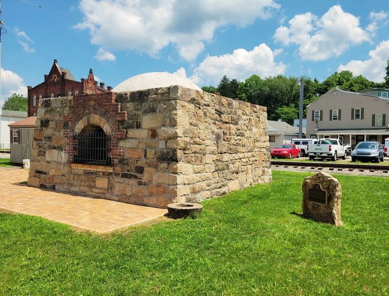
Location. 39° 58.476′ N, 79° 36.99′ W. Marker is in Dunbar, Pennsylvania, in Fayette County. Marker is at the intersection of Bridge Street and West Railroad Street, on the right when traveling north on Bridge Street. Marker is located across the street from the Dunbar Historical Society building. Touch for map. Marker is at or near this postal address: 42 Bridge Street, Dunbar PA 15431, United States of America. Touch for directions.
Other nearby markers. At least 8 other markers are within 2 miles of this marker, measured as the crow flies. Beehive Coke Ovens (a few steps from this marker); Sheepskin Trail (a few steps from this marker); Dunbar Vietnam War Memorial (about 700 feet away, measured in a direct line); Dunbar Korean War Memorial (about 700 feet away); a different marker also named Dunbar Korean War Memorial (about 700 feet away); In Honor of Those Who Serve - For God and Country (about 800 feet away); a different marker also named In Honor of Those Who Serve - For God and Country (about 800 feet away); Braddock Road (approx. 1.9 miles away). Touch for a list and map of all markers in Dunbar.
Credits. This page was last revised on July 16, 2023. It was originally submitted on July 16, 2023, by Bradley Owen of Morgantown, West Virginia. This page has been viewed 110 times since then and 45 times this year. Photos: 1, 2. submitted on July 16, 2023, by Bradley Owen of Morgantown, West Virginia.

