Near Haysi in Dickenson County, Virginia — The American South (Mid-Atlantic)
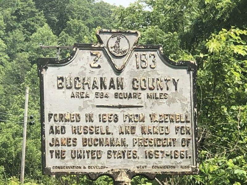
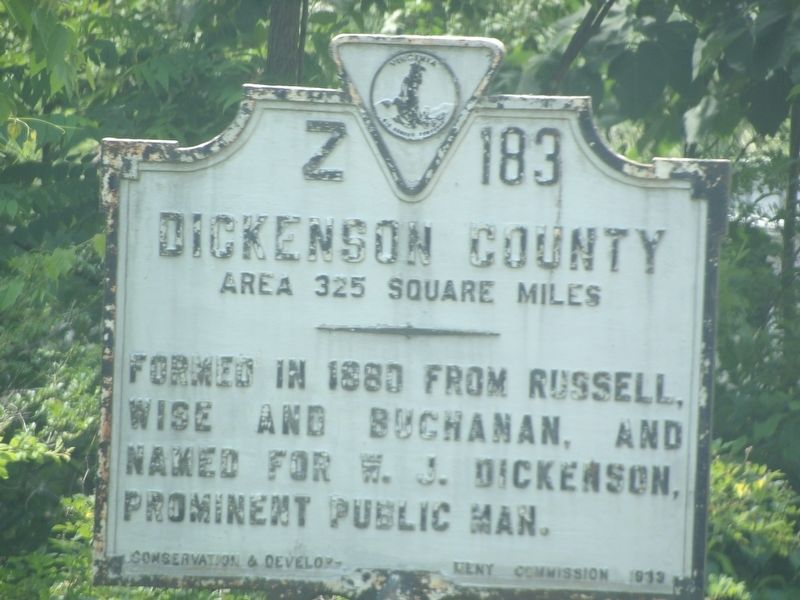
Buchanan County / Dickenson County
Area 584 square miles / Area 325 square miles
Dickenson County Formed in 1880 from Russell, Wise and Buchanan, and named for W. J. Dickenson, prominent public man.
Erected 1913 by Virginia Conservation & Development Commission. (Marker Number Z-183.)
Topics and series. This historical marker is listed in this topic list: Political Subdivisions. In addition, it is included in the Virginia Department of Historic Resources (DHR) series list. A significant historical year for this entry is 1858.
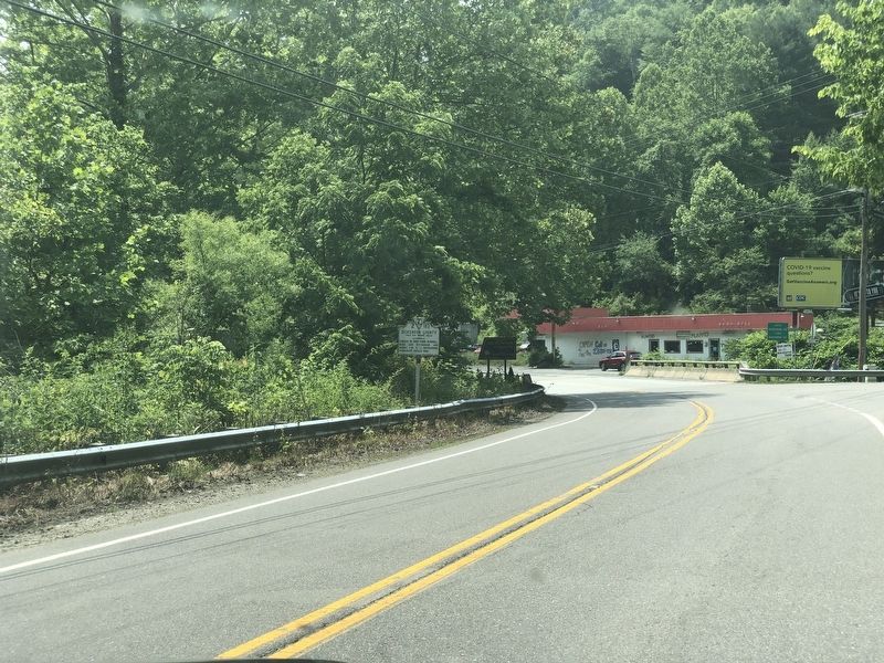
Location. 37° 12.712′ N, 82° 14.164′ W. Marker is near Haysi, Virginia, in Dickenson County. Marker is at the intersection of Dickenson Highway (Route 83) and Greenbrier Road, on the right when traveling east on Dickenson Highway. Touch for map. Marker is at or near this postal address: 28203 Dickenson Hwy, Haysi VA 24256, United States of America. Touch for directions.
Other nearby markers. At least 8 other markers are within 7 miles of this marker, measured as the crow flies. Colley’s Cabin (approx. 3 miles away); Indian and Settler Conflict (approx. 3.3 miles away); Dr. Tivis C. & Emma Sutherland (approx. 3.3 miles away); The Crooked Road (approx. 5.7 miles away); Mill Rock Point Overlook (approx. 5.7 miles away); Mill Rock Point (approx. 5.7 miles away); Formation Of The Breaks (approx. 6 miles away); Salt Kettle (approx. 6.1 miles away). Touch for a list and map of all markers in Haysi.
Regarding Buchanan County / Dickenson County. William J. Dickenson, a Russell County delegate to the Virginia General Assembly, sponsored the bill that established Dickenson County as Virginia's 100th and last county.
Credits. This page was last revised on July 18, 2023. It was originally submitted on July 18, 2023, by Duane and Tracy Marsteller of Murfreesboro, Tennessee. This page has been viewed 72 times since then and 26 times this year. Photos: 1, 2, 3. submitted on July 18, 2023, by Duane and Tracy Marsteller of Murfreesboro, Tennessee.


