Near Duffield in Lee County, Virginia — The American South (Mid-Atlantic)
Lee County
⎯⎯⎯
Scott County
Photographed by Duane and Tracy Marsteller, June 18, 2023
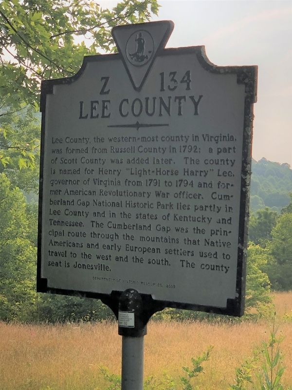
1. Lee County side of marker
Lee County. Lee County, the western-most county in Virginia, was formed from Russell County in 1792; a part of Scott County was added later. The county is named for Henry “Light-Horse Harry” Lee, governor of Virginia from 1791 to 1794 and former American Revolutionary War officer. Cumberland Gap National Historic Park lies partly in Lee County and in the states of Kentucky and Tennessee. The Cumberland Gap was the principal route through the mountains that Native Americans and early European settlers used to travel to the west and the south. The county seat is Jonesville.
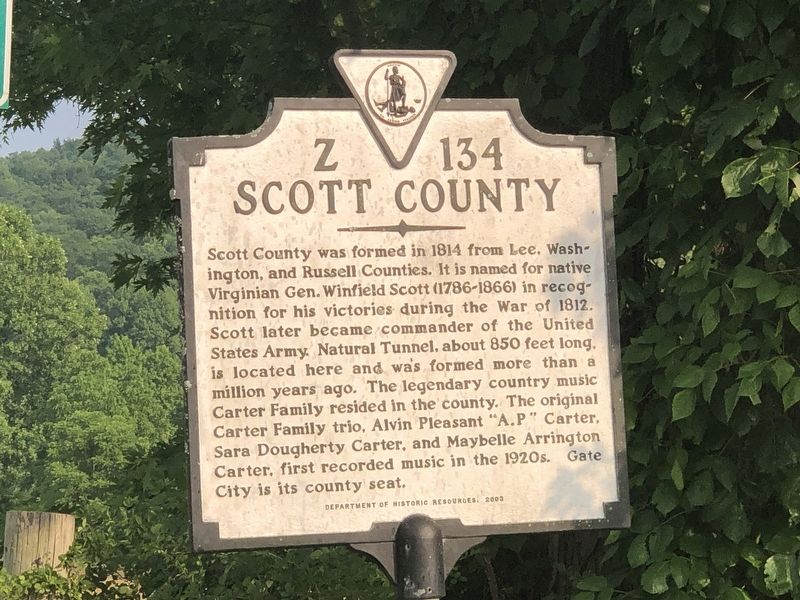
Scott County. Scott County was formed in 1814 from Lee, Washington, and Russell counties. It is named for native Virginian Gen. Winfield Scott (1786-1866) in recognition for his victories during the War of 1812. Scott later became commander of the United States Army. Natural Tunnel, about 850 feet long, is located here and was formed more than a million years ago. The legendary country music Carter Family resided in the county. The original Carter Family trio, Alvin Pleasant “A.P.” Carter, Sara Dougherty Carter, and Maybelle Arrington Carter, first
this page online
Erected 2003 by Virginia Department of Historic Resources. (Marker Number Z-134.)
Topics and series. This historical marker is listed in these topic lists: Arts, Letters, Music • Parks & Recreational Areas • Political Subdivisions • War, US Revolutionary. In addition, it is included in the Virginia Department of Historic Resources (DHR) series list. A significant historical year for this entry is 1792.
Location. 36° 45.651′ N, 82° 49.119′ W. Marker is near Duffield, Virginia, in Lee County. It is on U.S. 23 ¾ mile south of Jasper Road, on the right when traveling south. Touch for map. Marker is in this post office area: Duffield VA 24244, United States of America. Touch for directions.

Regionally, this marker is in Southwest Virginia. It is also in the American South, specifically in the Upper South, in Appalachia, and specifically in Southern Appalachia. Globally, it is in North America, the Western Hemisphere, the Western World, and the Anglosphere. Historically, it finds itself in what was once the original Cherokee Nation, the territory of
Photographed by Duane and Tracy Marsteller, June 18, 2023
2. Scott County side of marker
Other nearby markers. At least 8 other markers are within 4 miles of this marker, measured as the crow flies: Daniel Boone Trail (approx. 3.3 miles away); Lost No Longer! (approx. 3.3 miles away); Members of Congress (approx. 3.4 miles away); Seminary United Methodist Church (approx. 3.6 miles away); Turkey Cove (approx. 3.6 miles away); The Crooked Road / Duffield (approx. 3.7 miles away); a different marker also named Daniel Boone Trail (approx. 3.7 miles away); Lee County / Wise County (approx. 3.9 miles away). Touch for a list and map of all markers in Duffield.
Also see . . .
1. Henry Lee III. Wikipedia entry on the early American Patriot and U.S. politician. (Submitted on July 18, 2023, by Duane and Tracy Marsteller of Murfreesboro, Tennessee.)
2. Winfield Scott. Wikipedia entry on the American military commander and political candidate. (Submitted on July 18, 2023, by Duane and Tracy Marsteller of Murfreesboro, Tennessee.)
Photographed by Duane and Tracy Marsteller, June 18, 2023
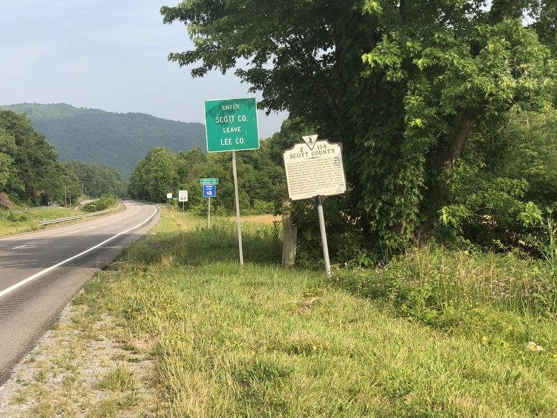
3. Lee County / Scott County Marker
William Edward West via Wikipedia (Public Domain), circa 1839
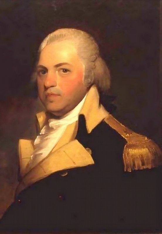
4. Henry Lee III (1756-1818)
Nicknamed "Light-Horse Harry" for his horsemanship, he was Virginia's ninth governor and the father of Confederate Gen. Robert E. Lee.
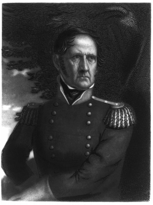
Thomas B. Welch via Library of Congress Prints and Photographs Division (Public Domain), circa 1846/66
5. Gen. Winfield Scott (1786-1866)
He served as a general in the U.S. Army from 1814 to 1861, earning him the nickname the "Grand Old Man of the Army."
Credits. This page was last revised on July 7, 2026. It was originally submitted on July 18, 2023, by Duane and Tracy Marsteller of Murfreesboro, Tennessee. This page has been viewed 674 times since then and 86 times this year. Photos: 1, 2, 3, 4, 5. submitted on July 18, 2023, by Duane and Tracy Marsteller of Murfreesboro, Tennessee.
